PALM TREE PRODUCTIONS
back to Albania site back to hikes and climbs back to Locations and Travel
Zaranika Ramble![]()
Summary: After two months inactivity, caused by rain, work and travel, we finally got a nice sunny winter Sunday. We opted for a slow start - a ramble - in the hills on the west side of the Durishit Ridge.
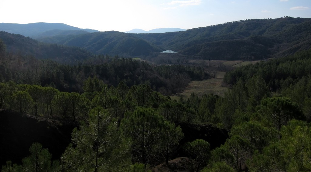
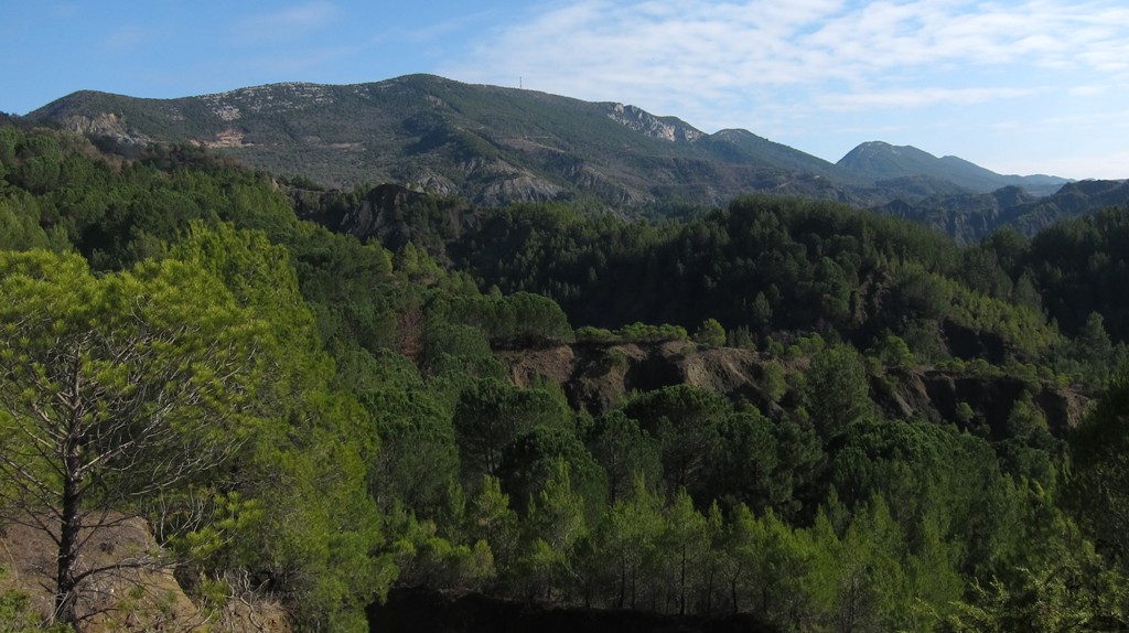
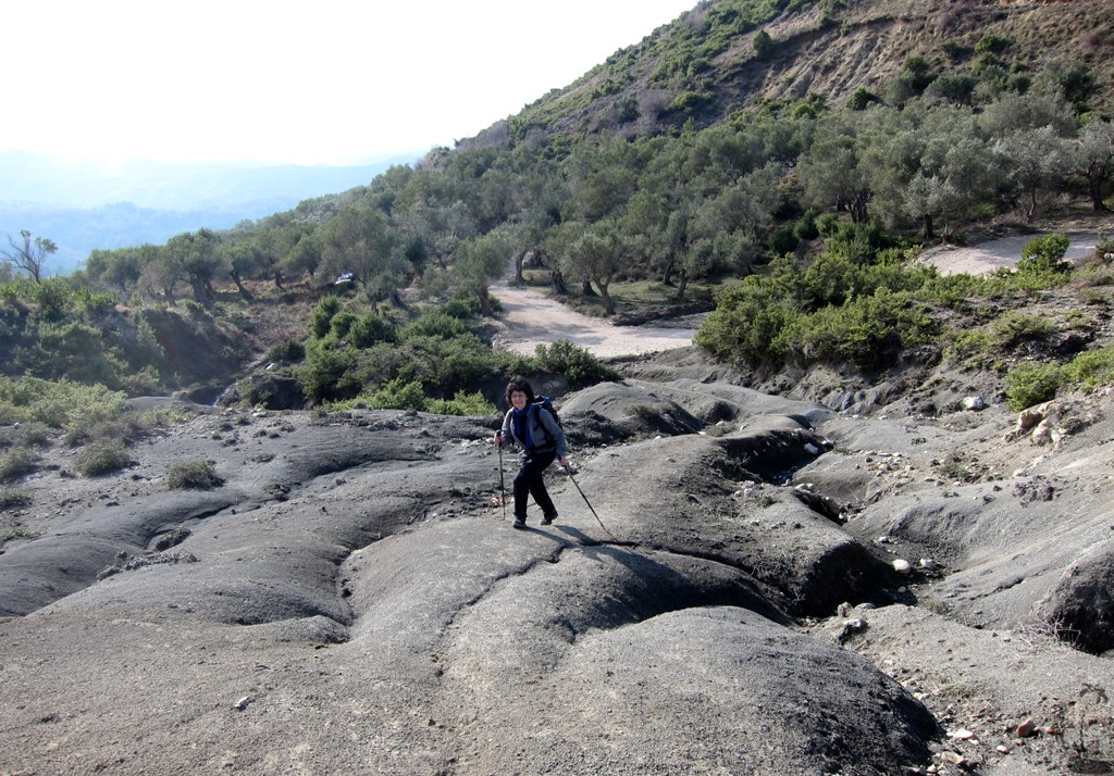
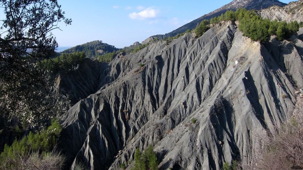
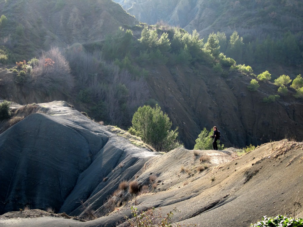
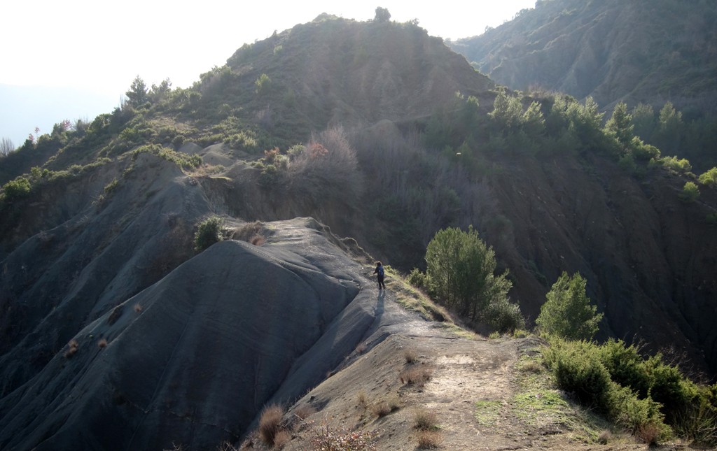
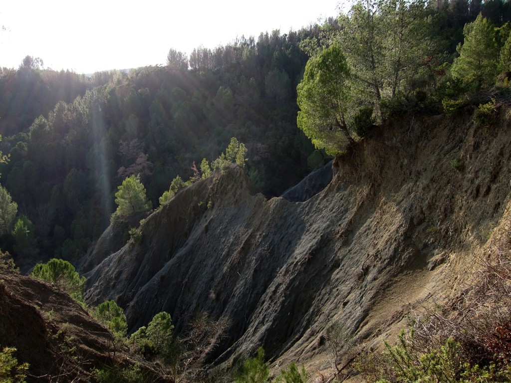
We always thought to do this or a similar when nobody had a really good idea. But this hike is a good idea! It opens up to the hiker the wondwerful world of the steep eroded hills of clay that stretch from Petrele to the coast (see related hikes to Altata and Gallushit). We actually thought of calling this hike "erosion ramble", because it provides fantastic views and some exciting moments on the trail.
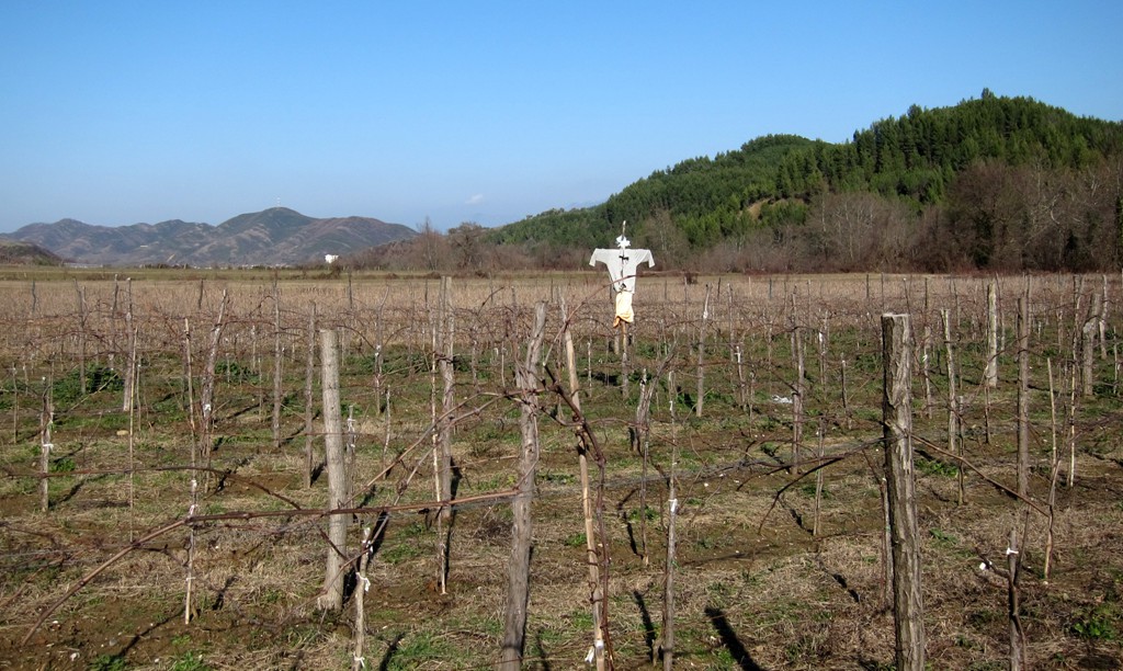
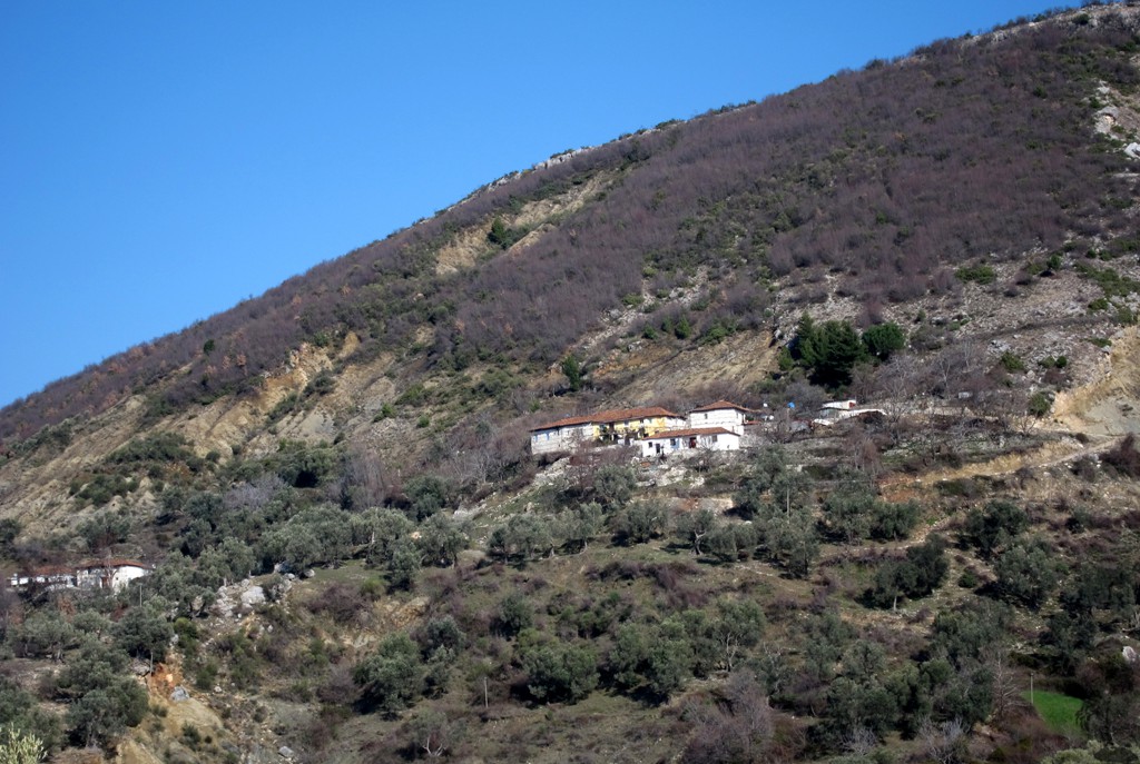
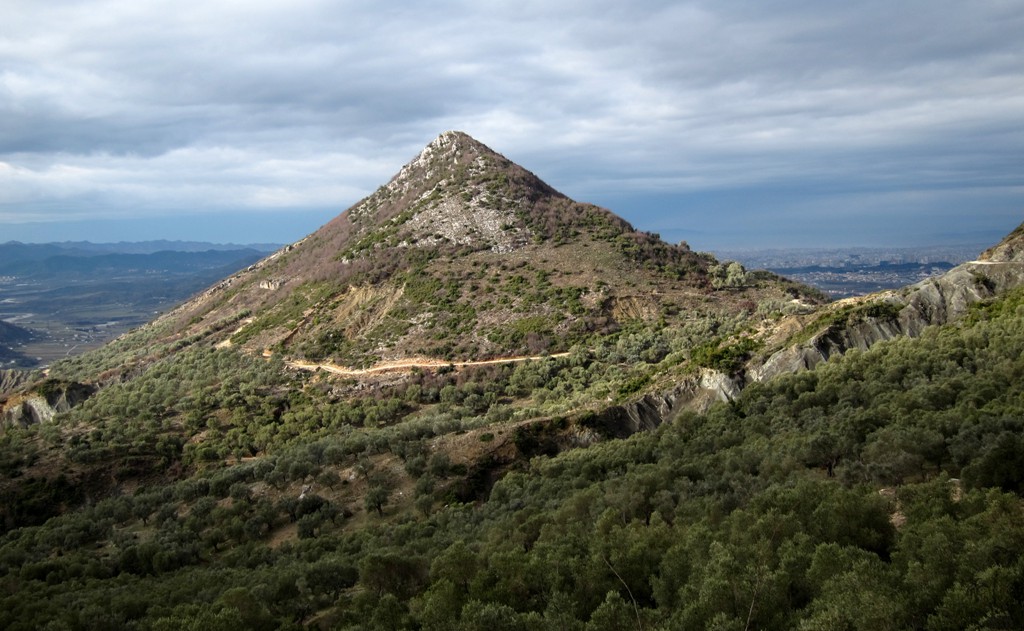
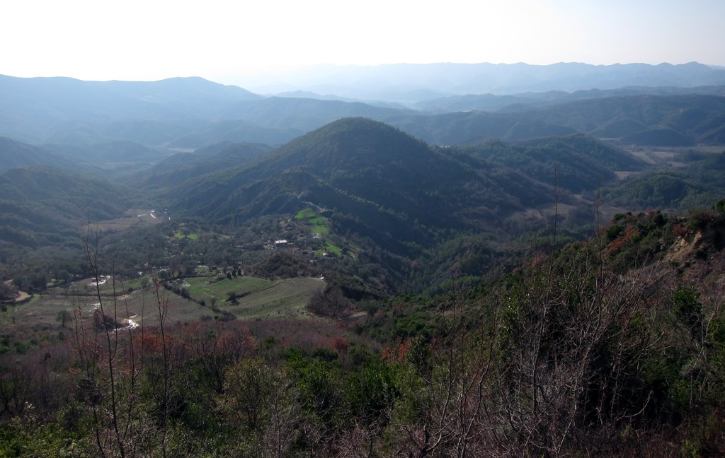
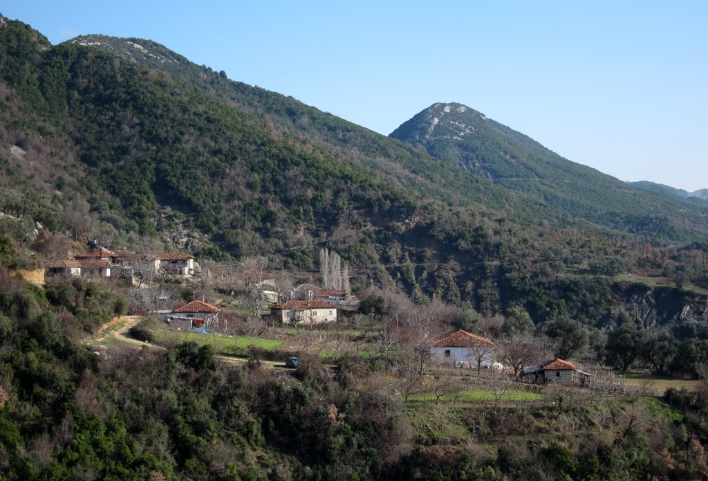
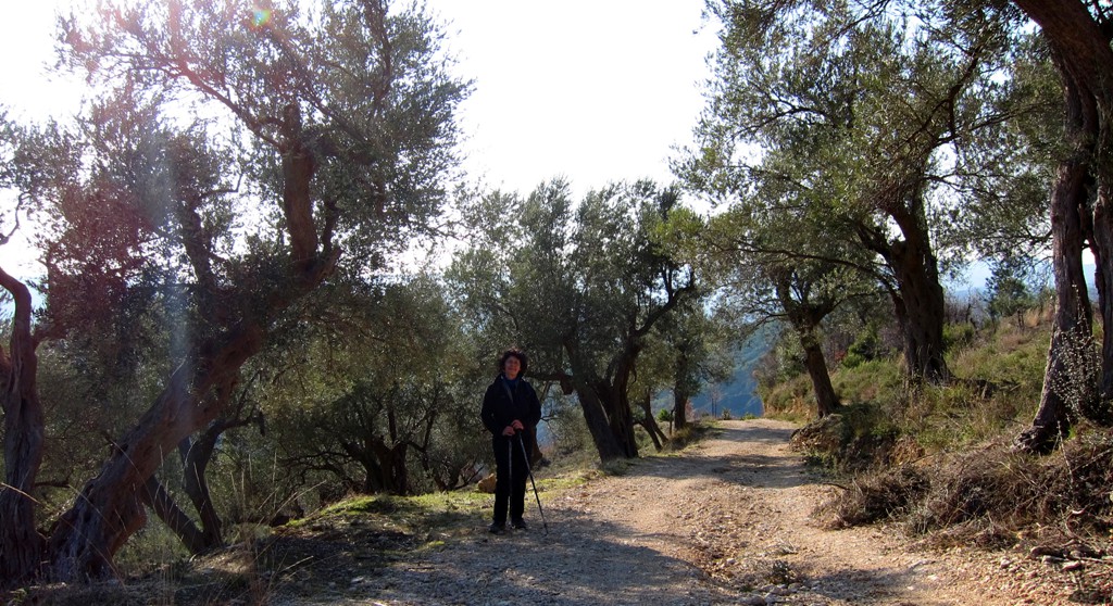
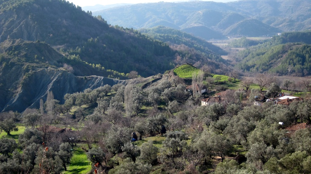
The hike doesn't lead over a summit, but offers dramatic views nevertheless. It also leads through ancient small villages, with abandonned houses but also people that are determined to stay and not to give up. Not immediately apparent when you preview the hike on google-earth, much of the hike is through pine forests, which the residents are careful not to cut as they kepp the fragile soil together. The trail also leads through many olive groves, and in January people were busy to collect the last fruits and prepare the trees for the next season.
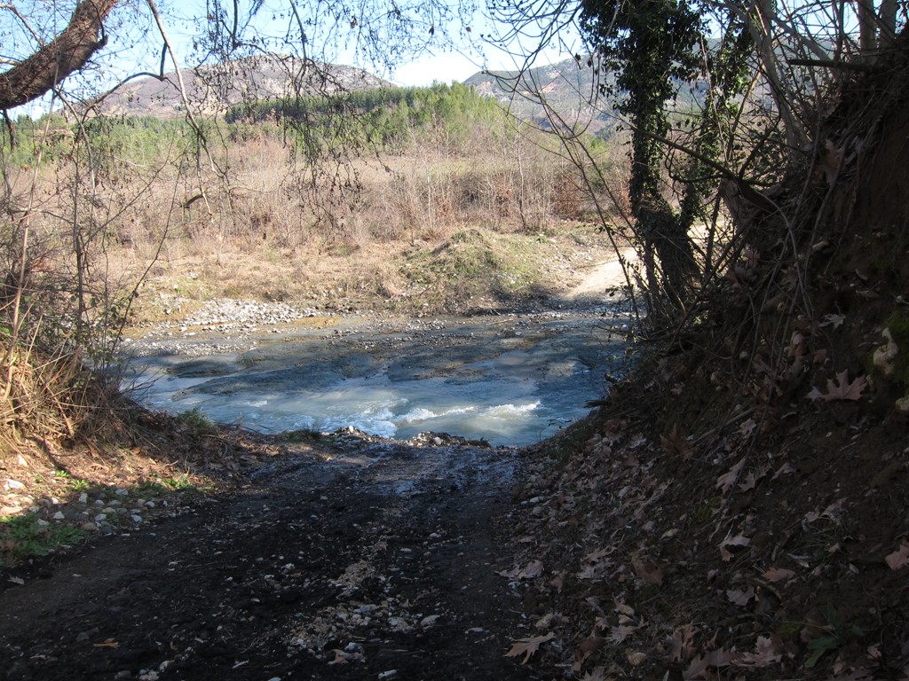
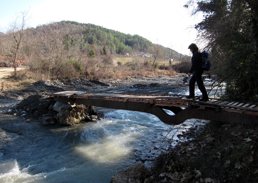
The hike uses some gravel road (we didn't meet a single car), but also leads close to the edge, and in a few places across the top of steeply eroded parts, on narrow trails that can be difficult when wet. Because of this, we rated the hike as moderate, though the exposed parts are only a few meter.
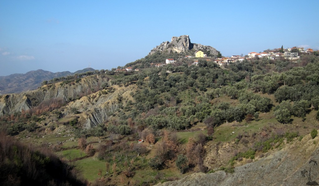
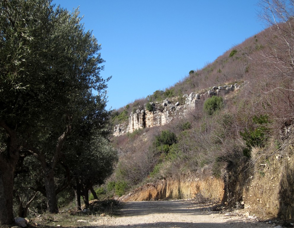
The trail also leads past the main gate of the ancient city of Përsqop (see separate trails), and those with time on their hands can explore those treasures or connect this trail with others in the area.
It is a little curiosity that water is available close to the highest point of the trail!
The trailhead can be reached by driving to Petrele. Before reaching the last switchbacks, a signposted asphalt road leads to the right to Zaranika, which is the name of the river and the village where the hike starts.
The Drive to the trailhead: Leave Tirana for Elbasan, and turn into the direction of Petrele. Follow the trail, which also is possible with a regular sedan car
| Maximum altitude: | 262 meter |
| Minimum altitude: | 142 meter |
| Cumulative height: | 153 meter |
| Cumulative length: | 5.45 kilometers |
| Difficulty | easy |
| Time: | 20 minutes |
| Date of this record | January 2013 |
| Download GPS info: | To Zaranika |
The Hike:
| Maximum altitude: | 516 meter |
| Minimum altitude: | 169 meter |
| Cumulative height: | 410 meter |
| Cumulative length: | 8.78 kilometers |
| Difficulty | moderate |
| Time: | 4 hours |
| Date of this record | January 2013 |
| Download GPS info: | Zaranika Ramble |
General location and approach: The hike is generally west of Petrele and east of Balldushk. The trailhead can be reached from Tirana in about 40 minutes.
Other Information: You could also start the hike in Petrele. The advantage is that can end your trip in a restaurant and have refreshments. The disadvantage is that you will have to gain most of the altitude towards the end of the hike.
GPS and trailmaps: The map and
trailinformation is generated by
![]() , based
on GPS information collected from the actual hike. Waypoints
can be downloaded to a GPS device from Wikiloc. If necessary, use
GPSBabel to
convert GPS data to different formats. For more
hike descriptions by Palmtreetreeproduction, browse this
website or visit Wikiloc
and search for "Palmtreeproduction". You may also find
nearby trails from other authors.
, based
on GPS information collected from the actual hike. Waypoints
can be downloaded to a GPS device from Wikiloc. If necessary, use
GPSBabel to
convert GPS data to different formats. For more
hike descriptions by Palmtreetreeproduction, browse this
website or visit Wikiloc
and search for "Palmtreeproduction". You may also find
nearby trails from other authors.
Google Earth: You may also view the trail in 3D when viewing it in Google Earth, which you need to have installed on your computer. The 3D perspective allows a good preview of gradients, steepness, possible views and is generally helpful when planning a trip.