PALM TREE PRODUCTIONS
back to Albania site back to hikes and climbs back to Locations and Travel
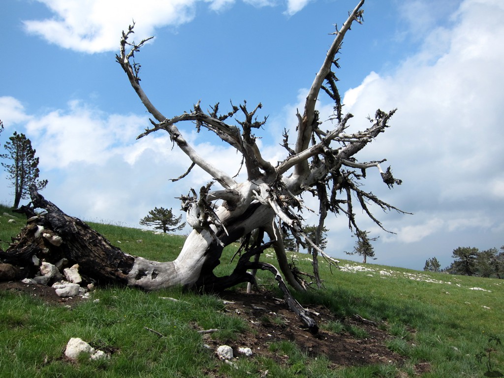
Zebe Mountain![]()
![]()
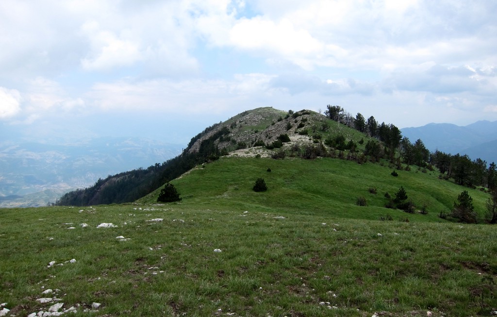
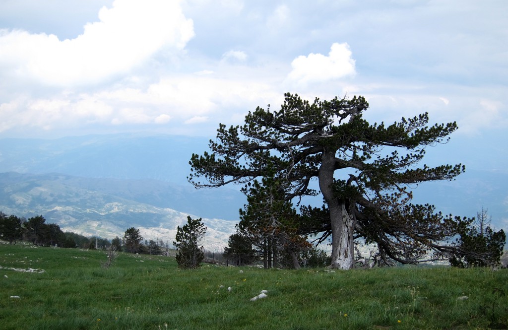
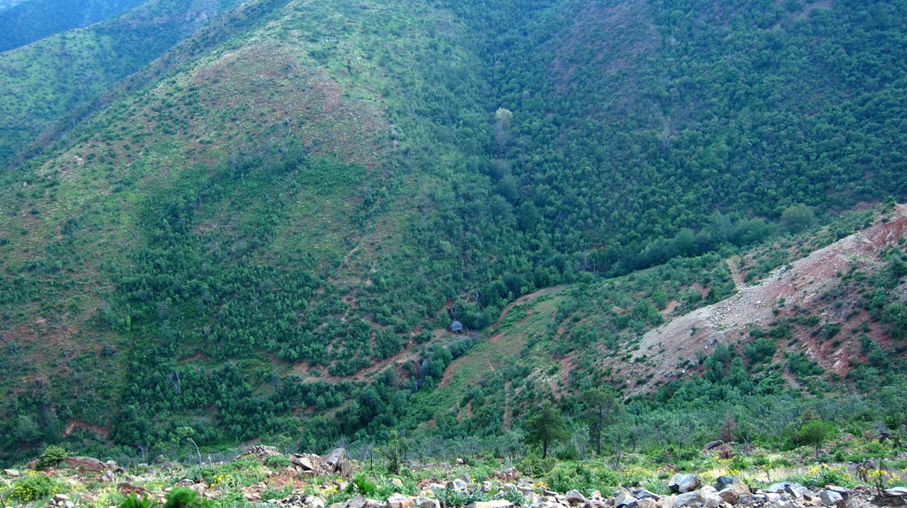
Summary: Maja e Zebe is the highpoint of Mali i Shentit, the long ridge to the south of the highway from Rreshen to Kukes, and north of the Lure National Park and Lure Mountain.
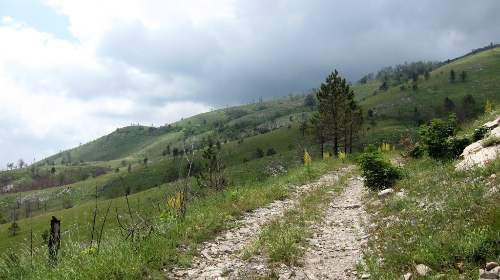
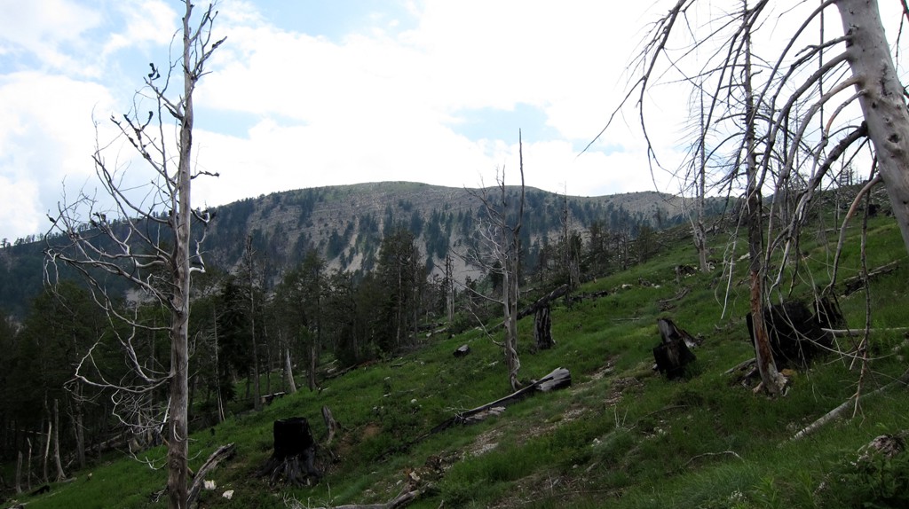
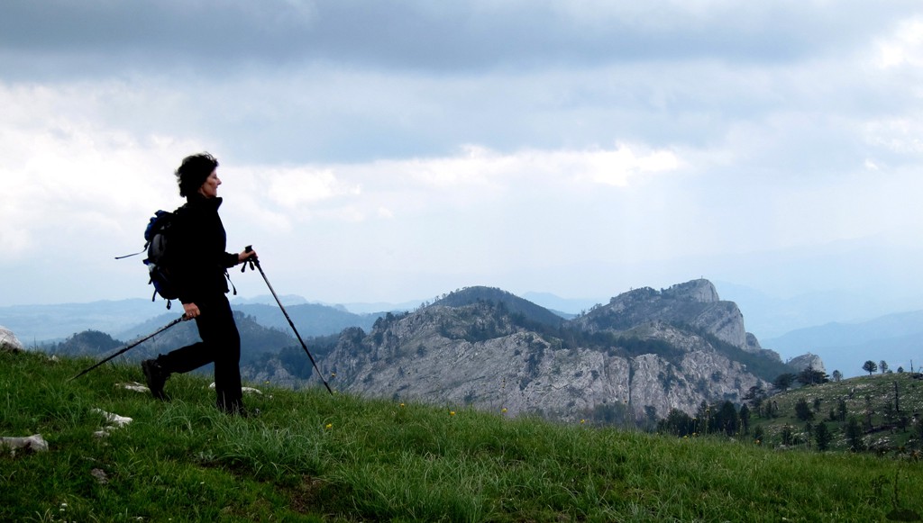
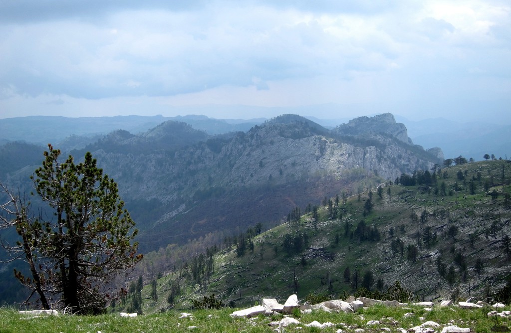
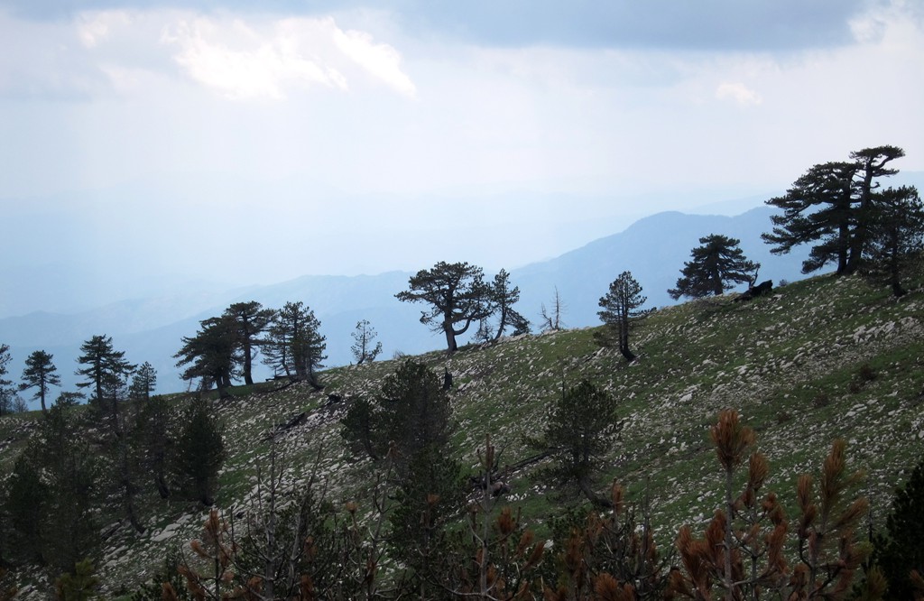
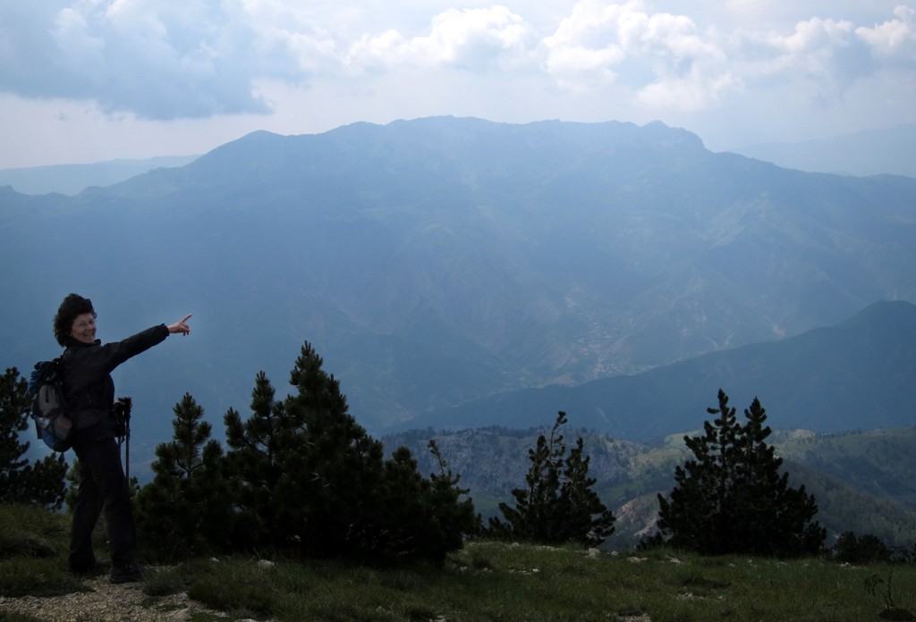
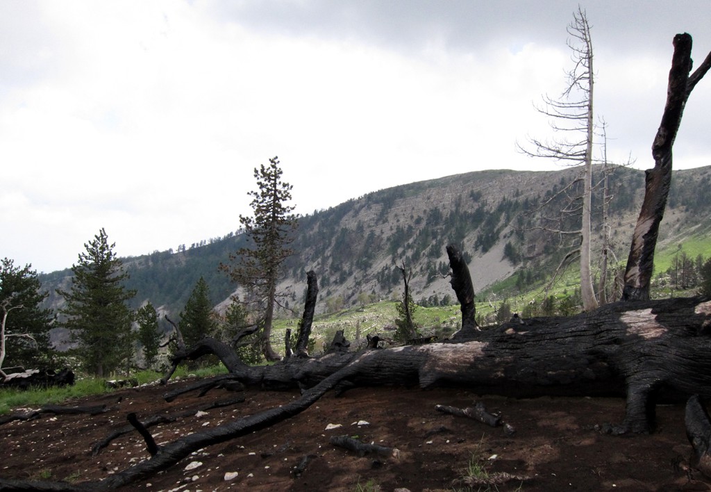
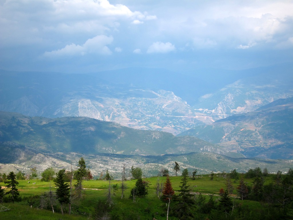
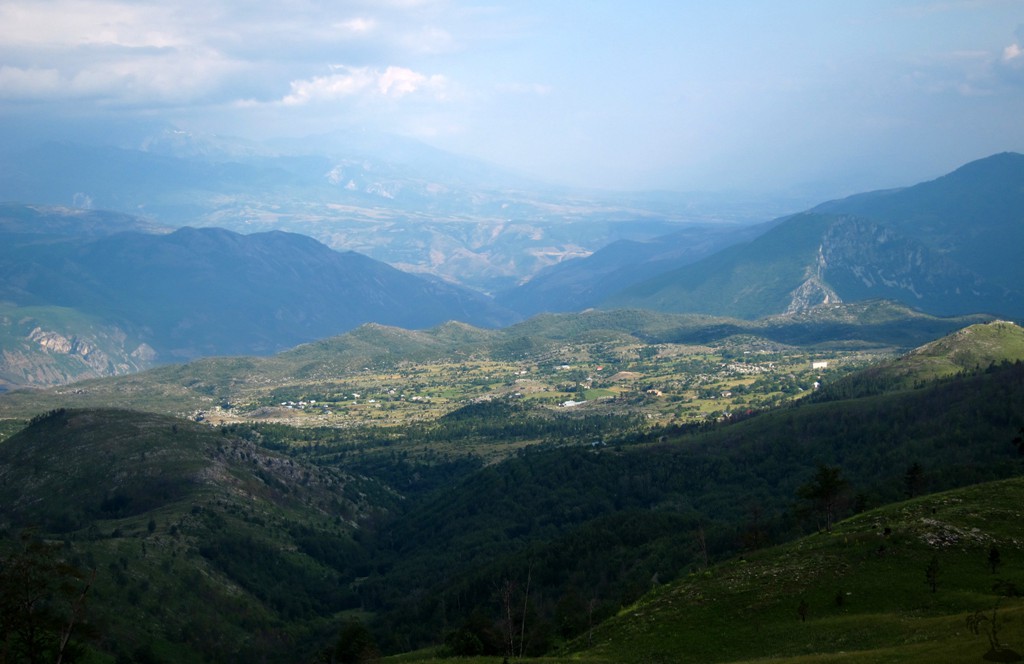
Maja e Zebe, topping out at almost 2000 meter altitude, is an easy hike provided you know how to get there. Unfortunately, we didn't have fine weather, but the views when available should be outstanding: Lure Mountains, Deja Mountain, Korab, Gjalica, Kalimash, Munella and many more destinations should be in full view.
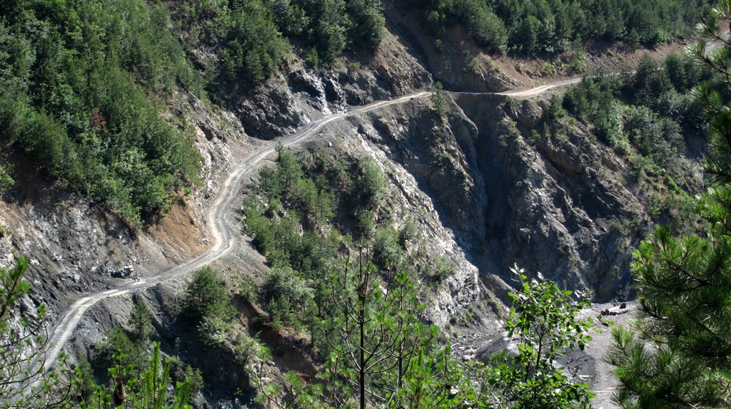
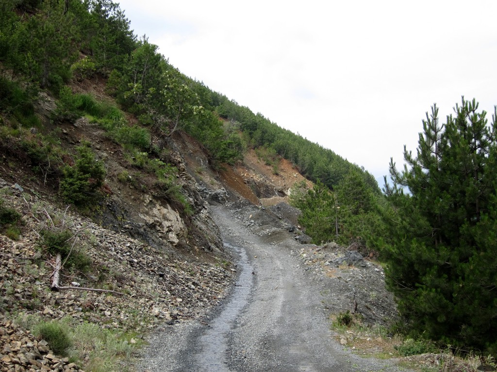
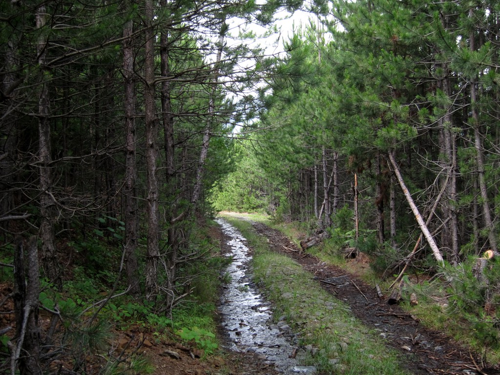
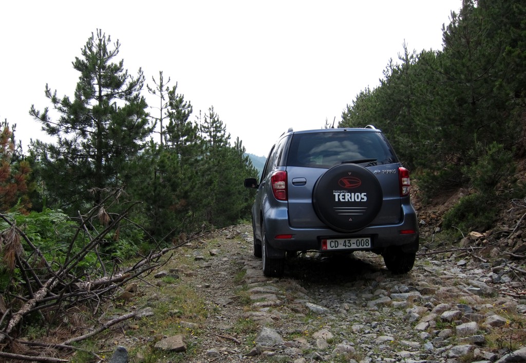
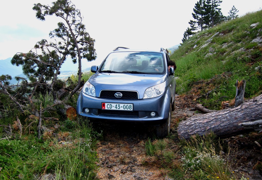
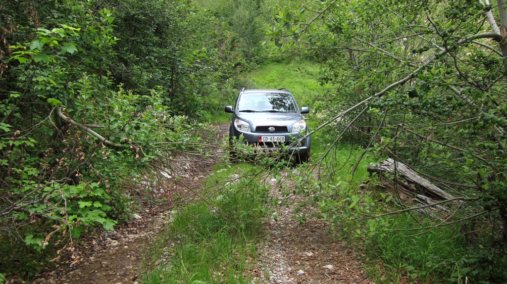
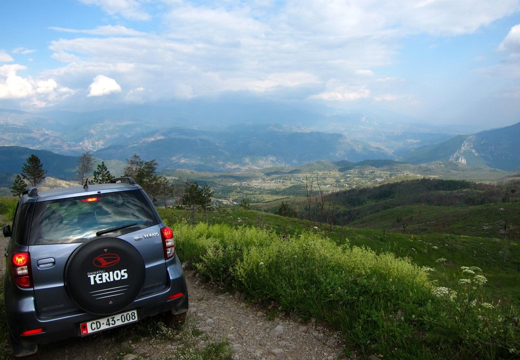
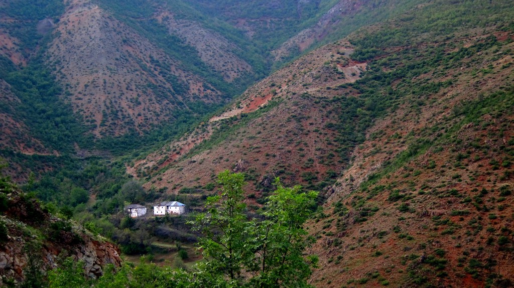
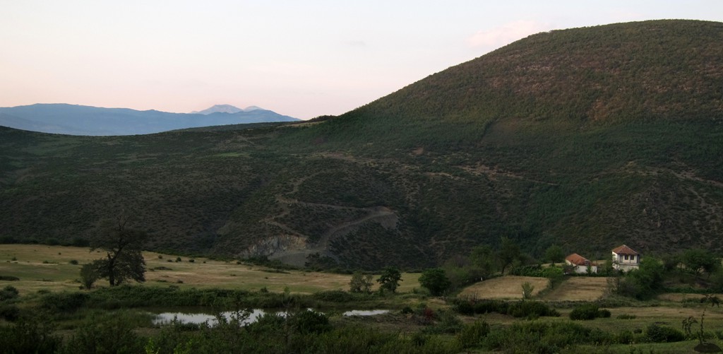
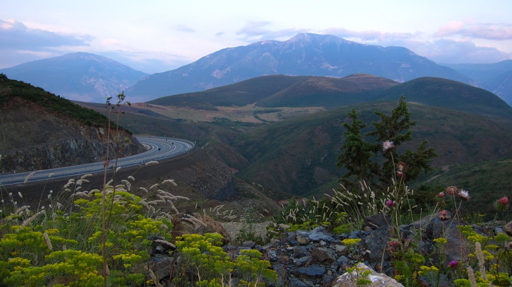
The Drive: We started in Thirrë, at the south end of the Kalimash tunnel of the Tirana-Kukes highway. From there we drove up to the Qafe (waypoint 4) on the ridge of Mali i Shentit. From here, we followed the road to Arren for a while, and turned at waypoint 5 onto a rarely used logging road to the trailhead. For our return, we went back to the Qafe, and continued on the road connecting Arren to Kukes - a drive that seems to be going on forever. The road eventually joins the four-lane-highway between the tunnel and Kukes - an almost unreal experience.
The trail from Thirrë to the roads on top of the ridge is of moderate difficulty. From waypoint 5, the road to the trailhead of Zebe is difficult. The road from the Qafe to Kukes is relatively easy, but long with a few spots where caution is advised. For those not interested in hiking Maja e Zebe, you may skip the difficult excursion to the trailhead of the hike.
| Maximum altitude: | 1577 meter |
| Minimum altitude: | 512 meter |
| Cumulative height: | 1363 meter |
| Cumulative length: | 46 kilometers |
| Difficulty | difficult |
| Time: | 5 hours minimum without hiking Maja e Zebe |
| Date of this record | June 2013 |
| Download GPS info: | Across Mali i Shentit |
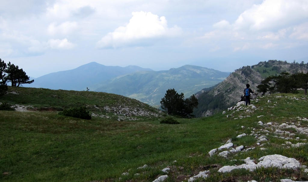
The Hike: There is some confusion as to where the summit of Maja e Zebe is located. Our measurement place it at summit no.2, while some maps place it at summit no.1, and one map at summit no.3. Summit no.3 looks the highest. As an alternative return hike, you may descend from summit no.3 down the ridge and back to the car.
For those not inclined to bump their car on the road to the trailhead, you may hike it instead from waypoint 5, which adds four kilometer to your hike one way. Alternatively, drive to the village of Arren and hike from there.
| Maximum altitude: | 1987 meter |
| Minimum altitude: | 1577 meter |
| Cumulative height: | 430 meter |
| Cumulative length: | 3.38 kilometers |
| Difficulty | easy |
| Time: | 1.5 to 2 hours |
| Date of this record | June 2013 |
| Download GPS info: | Maja e Zebe |
General location and approach: Coming from Tirana on the highway, the exit to Thirrë is not marked. It is between the food stalls near the tunnel. When coming from Kukes, immediately after passing through the tunnel, turn right, drive above the mouth of the tunnel and join the trail marked by our GPS coordinates.
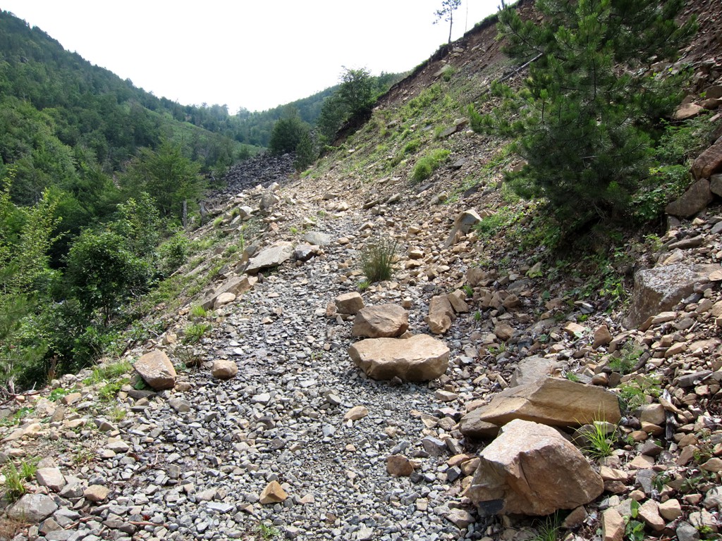
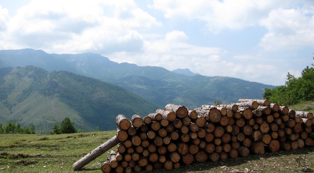
Other Information: There is not much traffic on the trails. Road conditions, especially near the ridge itself and to the trailhead can vary, depending on the weather and the use of roads by heavy lorries carrying timber.


GPS and trailmaps: The map and
trailinformation is generated by
![]() , based
on GPS information collected from the actual hike. Waypoints
can be downloaded to a GPS device from Wikiloc. If necessary, use
GPSBabel to
convert GPS data to different formats. For more
hike descriptions by Palmtreetreeproduction, browse this
website or visit Wikiloc
and search for "Palmtreeproduction". You may also find
nearby trails from other authors.
, based
on GPS information collected from the actual hike. Waypoints
can be downloaded to a GPS device from Wikiloc. If necessary, use
GPSBabel to
convert GPS data to different formats. For more
hike descriptions by Palmtreetreeproduction, browse this
website or visit Wikiloc
and search for "Palmtreeproduction". You may also find
nearby trails from other authors.
Google Earth: You may also view the trail in 3D by clicking "view in Google Earth" when on Wikiloc. You need to have Google Earth installed on your computer.