PALM TREE PRODUCTIONS
back to Albania site back to hikes and climbs back to Locations and Travel
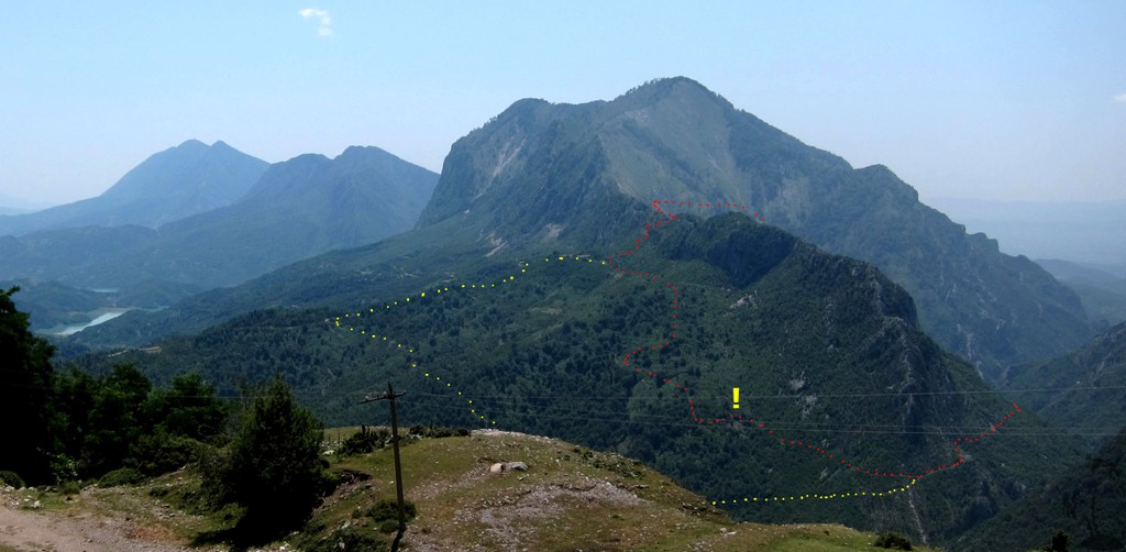
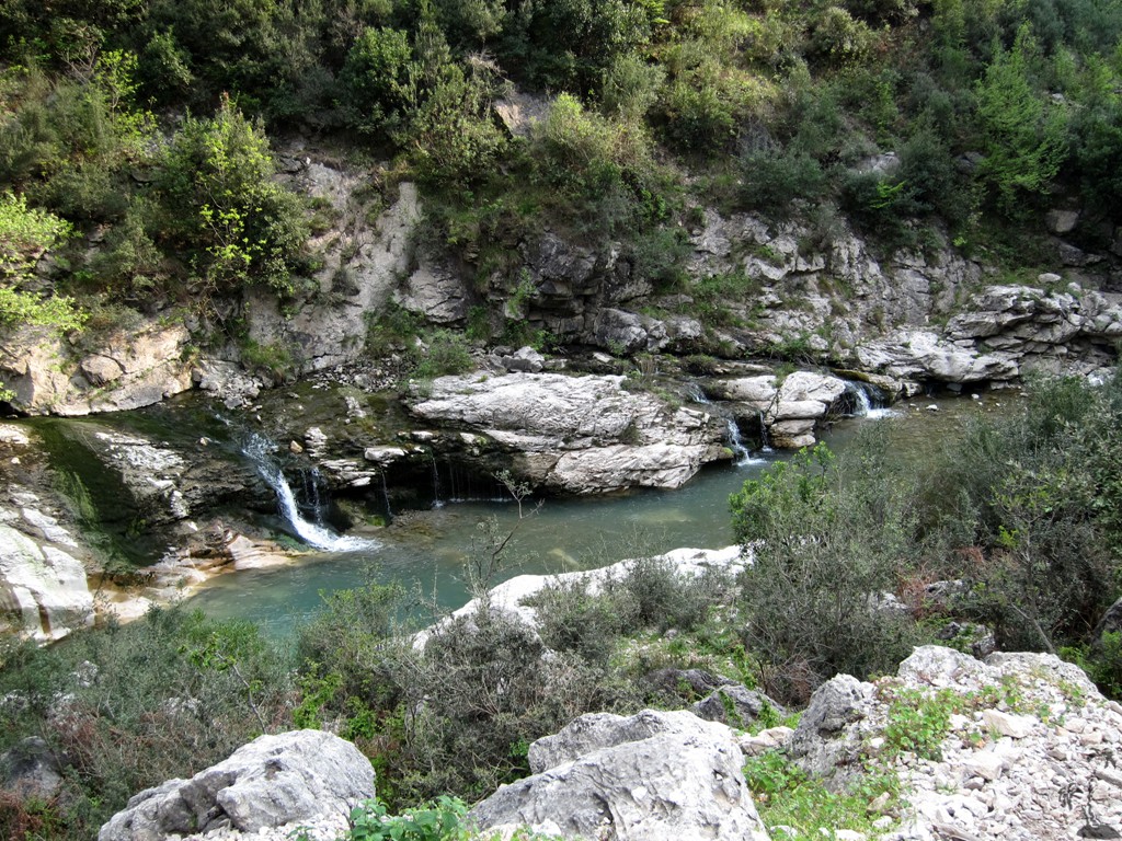
Zeza Canyon Alpine Loop![]()
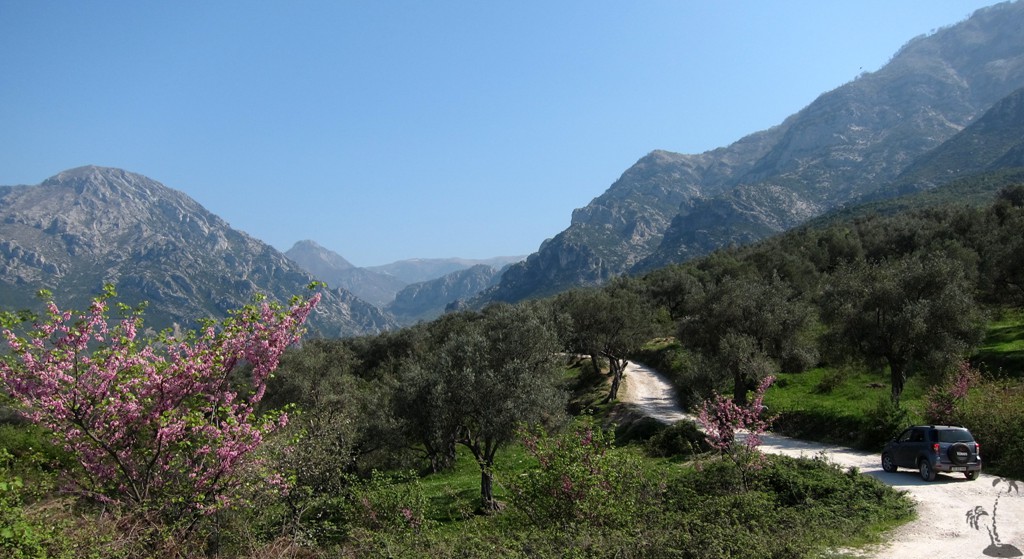
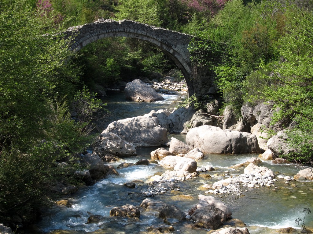
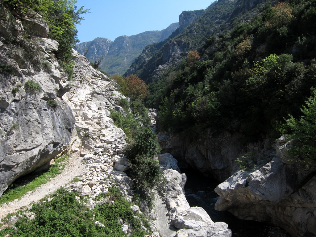
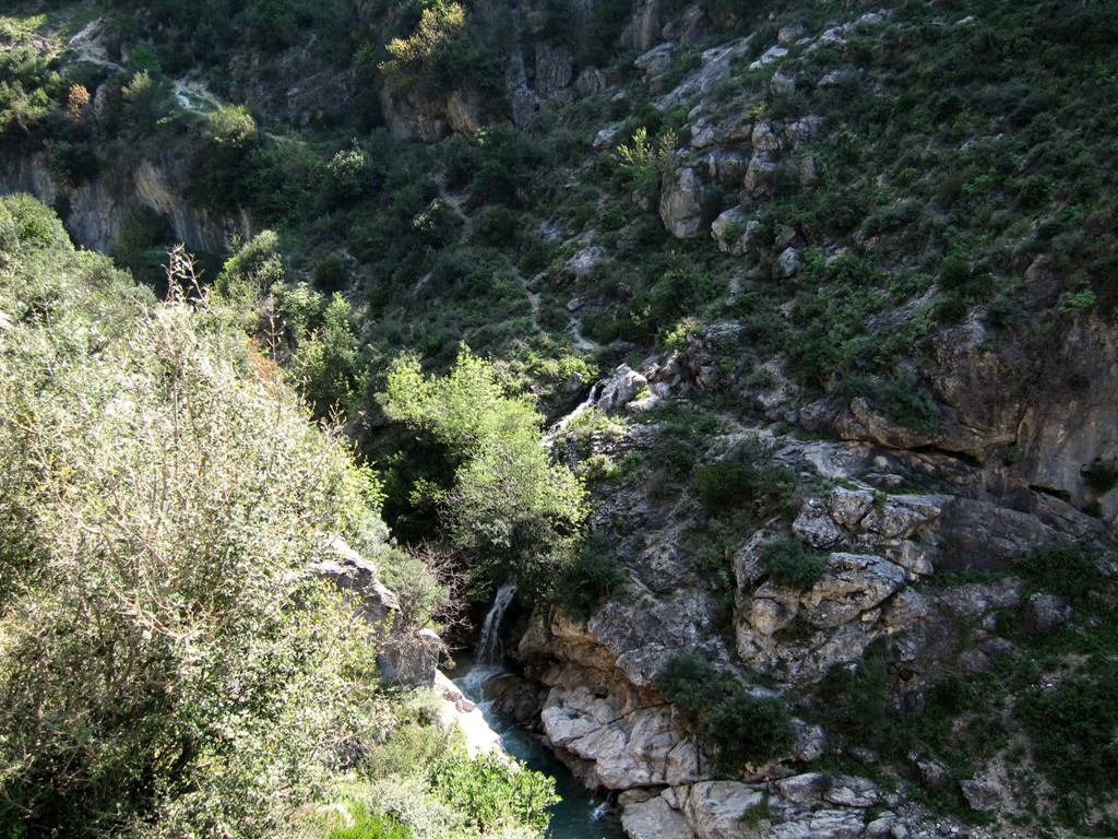
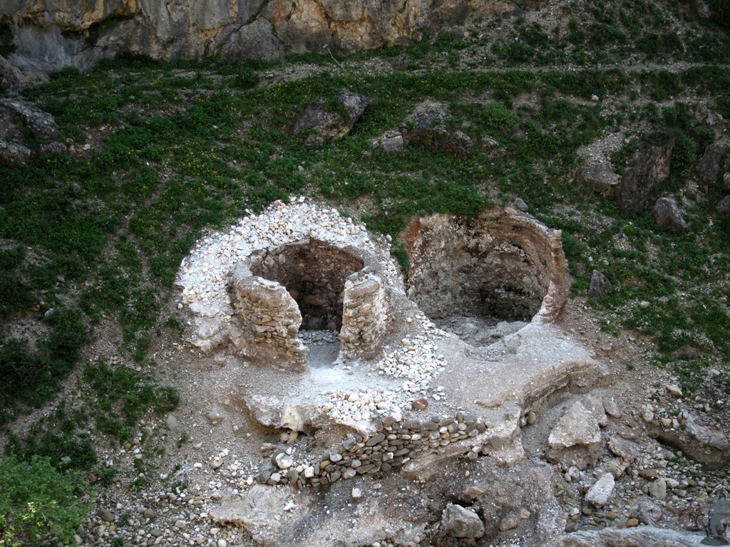
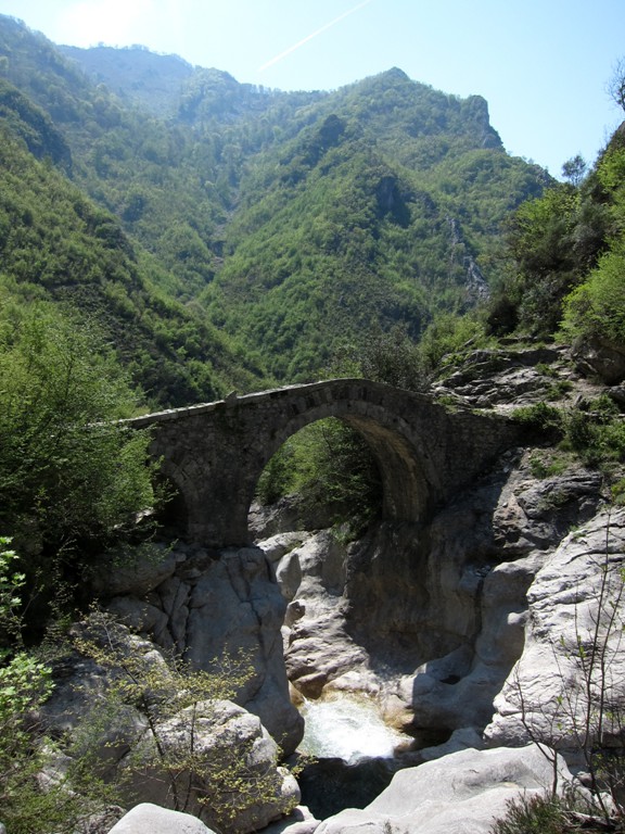
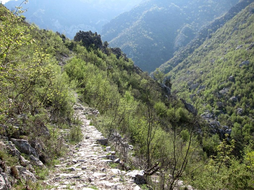
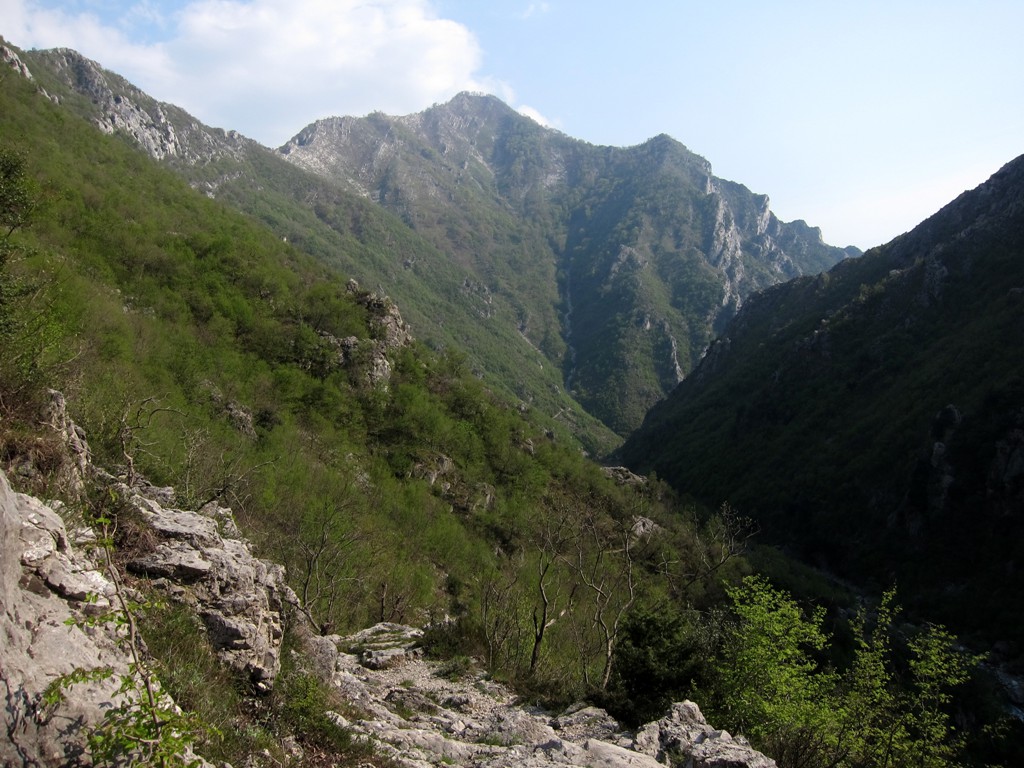
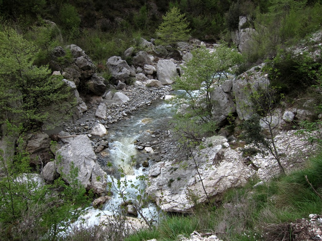
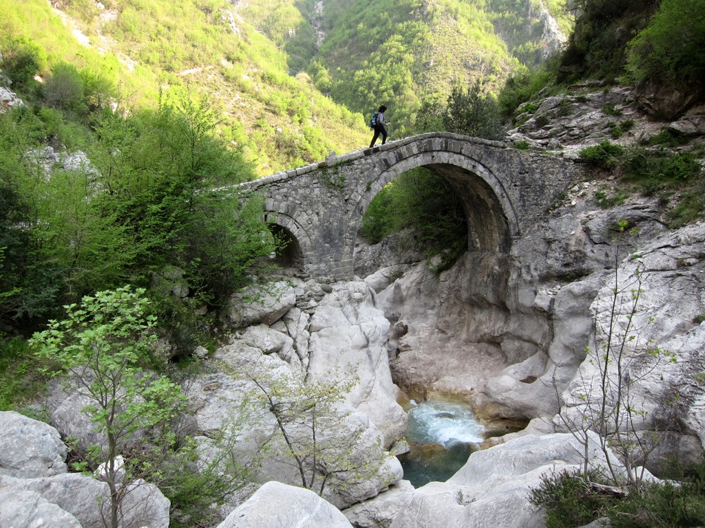
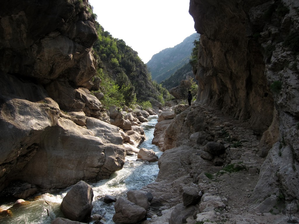
Summary: The Ishmi River Canyon - or probably better known as Zeza canyon - winds its way between Kruja and Gomnit mountains. There are two bridges over the Ishmi River - one at the entrance to the canyon, and one in the middle of it - showing the importance of the old trading route. In ancient times, part of the track used to be paved with big cobblestones.Today, the trail is falling into disrepair as the villages behind the mountain are more easily reached by new roads.
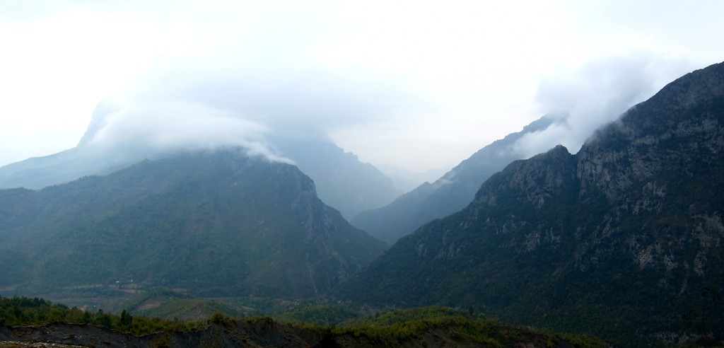
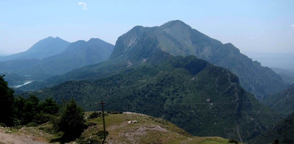
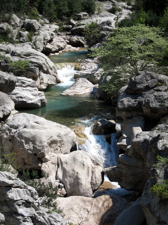
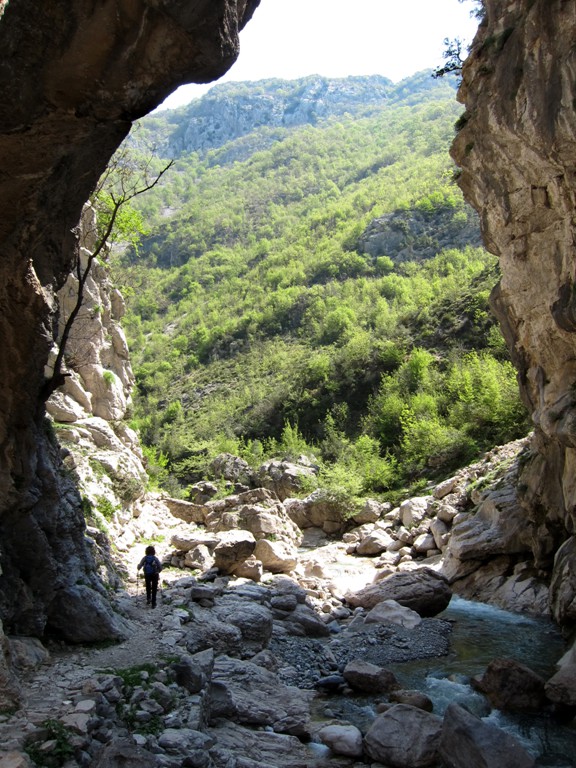
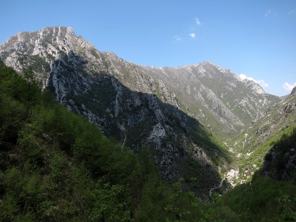
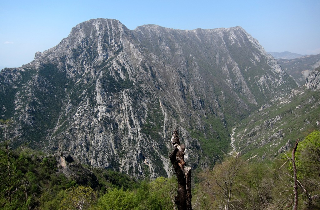
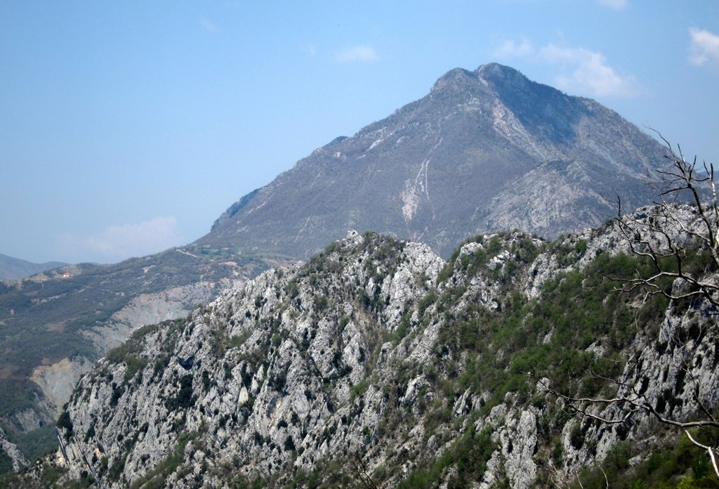
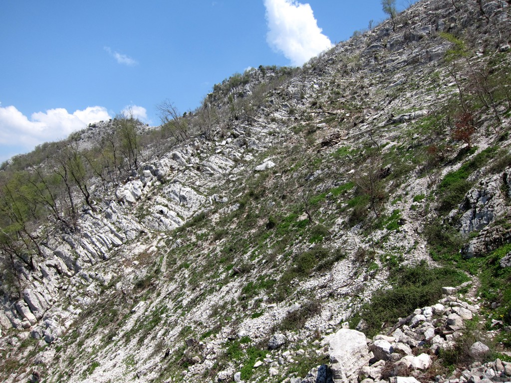
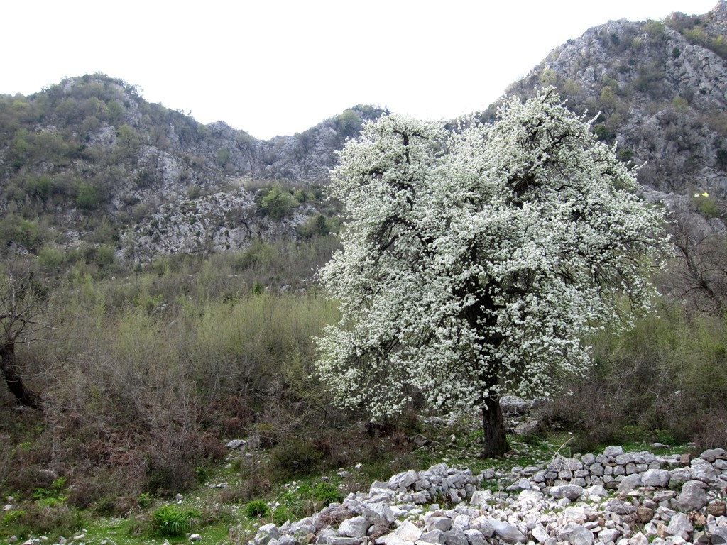
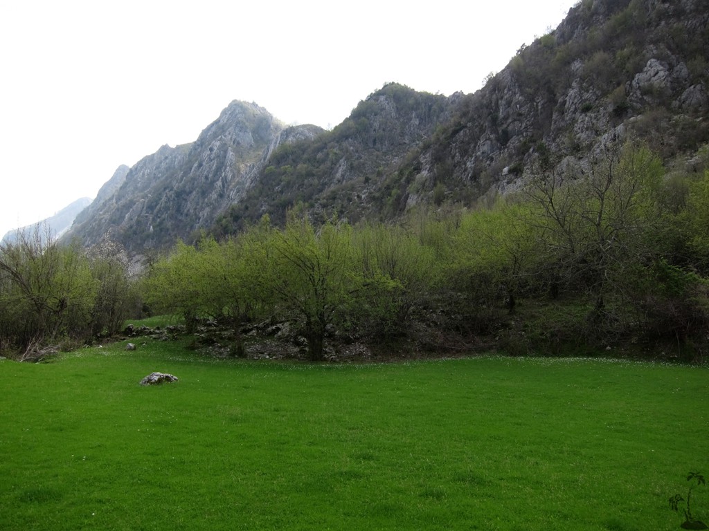
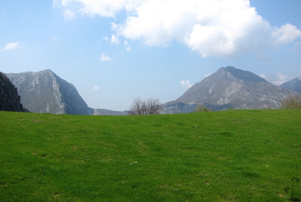
Zeza canyon is wild and dramatic, as it zigzags between the mountains. We had visited it before, following Endrit's trail (which also can be used to find the road to the trailhead). This time, we climbed the eastern wall of the canyon, crossed it to the other side, and returned back for a ballon hike through the Zeza Canyon.
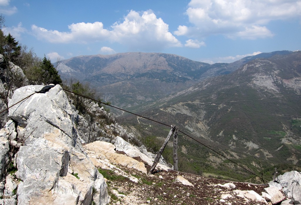
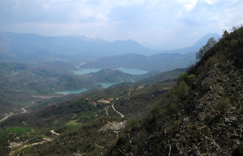
This hike opened dramatic views towards Kruja mountain, and over the canyon, from close range. These give the hike a truly alpine feeling.
The hike generally follows existing trails, though they tend to be barely visible on the upper north end of Gomnit (between waypoint 6 and 8)
When reaching the crest of the eastern wall, the drops to the east appear almost vertical - simply continue a few meters along the crest and a steep but very manageable path will lead down.
Warning: At the waypoint 14-Difficult the trail is badly eroded, with a sheer drop on one side. The conditions are quite hazardous as the ground is clay, not rock. We suggest to alter the route as follows:
Either, from waypoint 12-Tree, continue east (down) until you hit the road.Follow the road downwards (north) until waypoint 20-A. Find your way down to houses near the river, there should be some wide trail. From waypoint 20-B, a good trail should lead back in Zeza canyon, and meet our trail at waypoint 15-Fork.
Alternatively, just 20 Meter or so before you reach waypoint 13-Path (you already can see a wide earth path, which shortly after deteriorates so badly), a smaller path crosses your way. We believe this new path has been developed to avoid the hazardous stretch, and that it will join the regular trail a few hundred meters on.
See image Nr 5 with the routes.
| Maximum altitude: | 810 meter |
| Minimum altitude: | 223 meter |
| Cumulative height: | 684 meter |
| Cumulative length: | 10.4 kilometer |
| Difficulty | moderate (see comment) |
| Time: | 5 hours mimum |
| Date of this record | April 2013 |
| Download GPS info: | Zeza Alpine Loop |
General location and approach: Zeza canyon is between Gomnit and Kruja mountains, about half an hour drive from Tirana.
GPS and trailmaps: The map and
trailinformation is generated by
![]() , based
on GPS information collected from the actual hike. Waypoints
can be downloaded to a GPS device from Wikiloc. If necessary, use
GPSBabel to
convert GPS data to different formats. For more
hike descriptions by Palmtreetreeproduction, browse this
website or visit Wikiloc
and search for "Palmtreeproduction". You may also find
nearby trails from other authors.
, based
on GPS information collected from the actual hike. Waypoints
can be downloaded to a GPS device from Wikiloc. If necessary, use
GPSBabel to
convert GPS data to different formats. For more
hike descriptions by Palmtreetreeproduction, browse this
website or visit Wikiloc
and search for "Palmtreeproduction". You may also find
nearby trails from other authors.
Google Earth: You may also view the trail in 3D when viewing it in Google Earth, which you need to have installed on your computer. The 3D perspective allows a good preview of gradients, steepness, possible views and is generally helpful when planning a trip.