PALM TREE PRODUCTIONS
back to Albania site back to hikes and climbs back to Locations and Travel
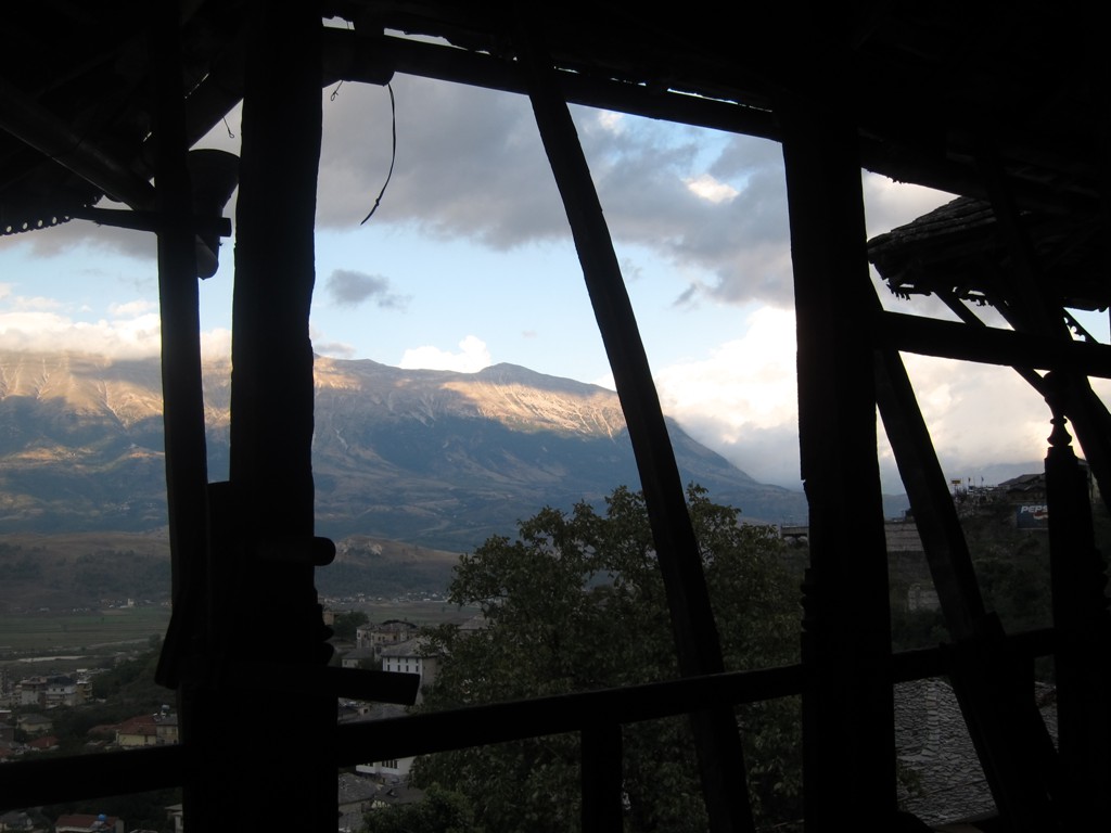
Treasures around Gjirokastra![]()
![]()
Summary: Most visitors to Gjirokastra stay in the city. However, there is much to explore in the vicinity of the city. We admit that we came many times to Gjirokaster without planning to spend more time, until a rainy day compelled us to turn our attention to the archeological and historic wonders of the Gjirokastra environs.
The trail combines four sights
-
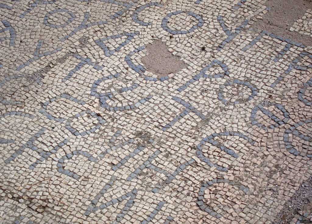
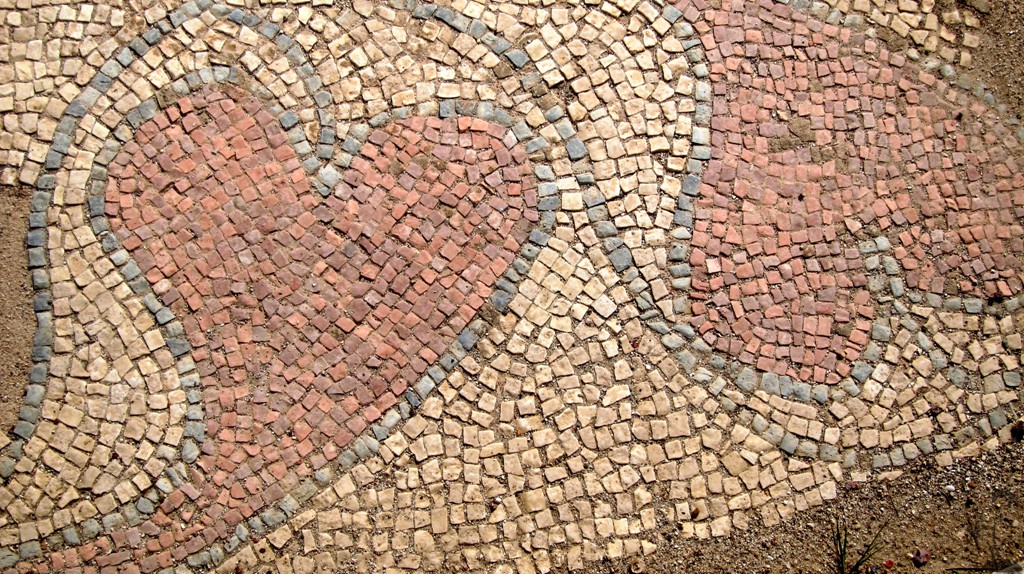
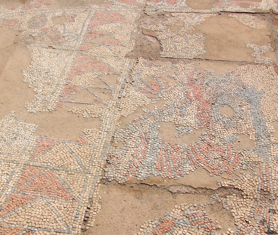
The Antigenoeia archeological park. While there is now an asphalt road to the entrance and new signage inside the area, you still need hiking boots and ample time to see it all. Don't miss the Mosaic at the far end.
-
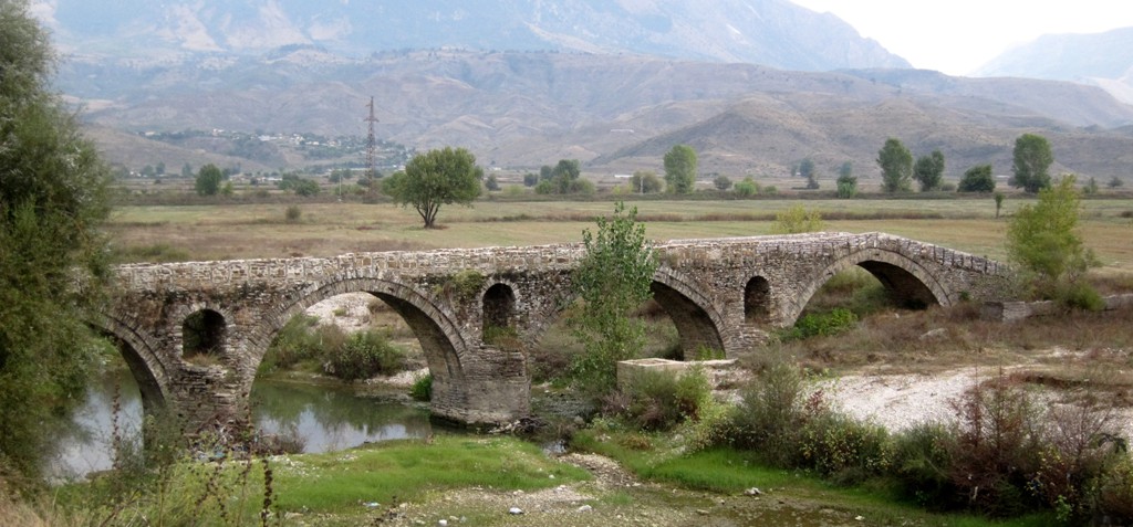
An old bridge just outside Gjriokastra on its south side
-
The archeologial site of Hadrianopolis
-
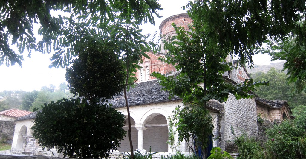
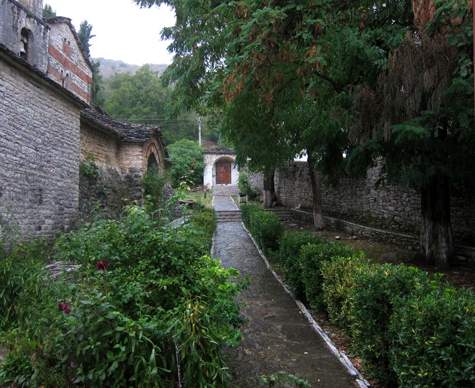
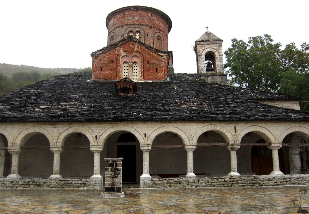
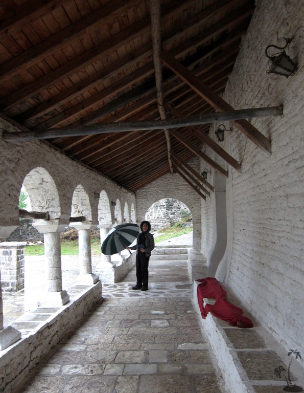
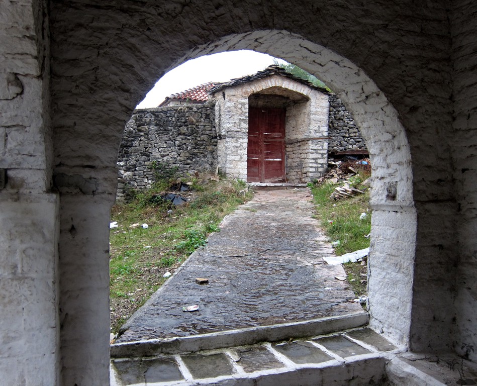
St. Mary's church in Labove e Kryqit
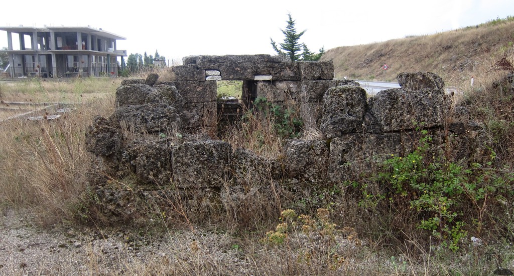
There also is a single ancient gravesite along the main road to Greece, but we only included a waypoint and did not mark the trail.
Most of our information comes from Nertan Ceka's "Archeological Treasures from Albania".
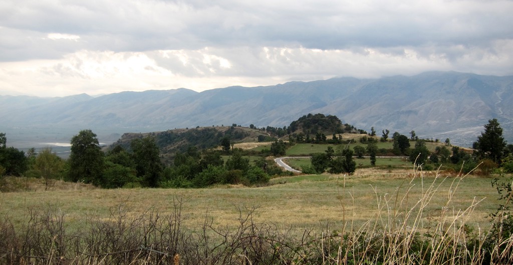
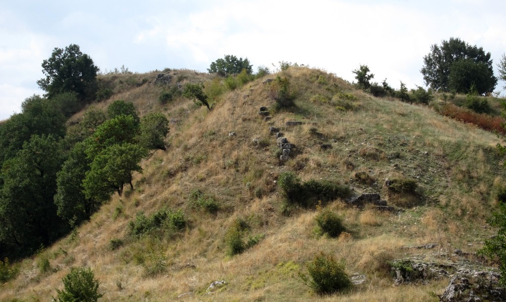
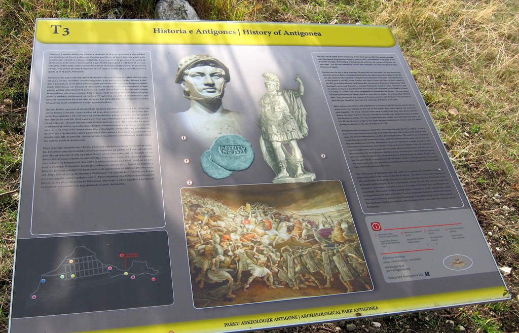
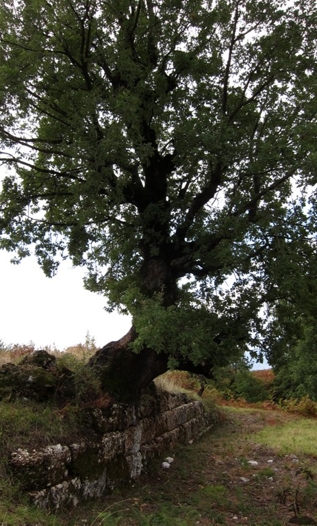
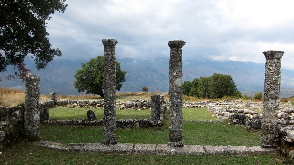
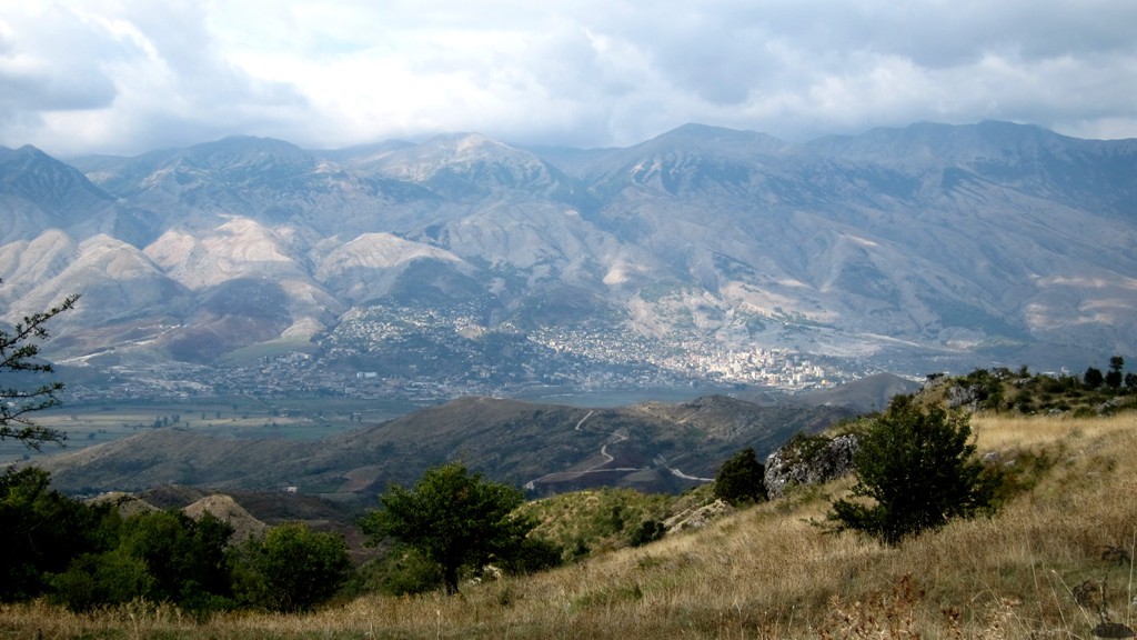
The ancient city of Antigoneia extends over the hill of Jerma, to the southwest of the village of Saraqinisht in the Lunxheria region. Lunxheria is part of the Drinos valley, opposite Gjirokastra. Antigoneia was founded 295 BC by Pyrrhus of Epirus, to immortalise the name of his wife, Antigone.
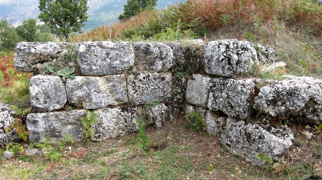
There is a rather overgrown acropolis on the hilltop. The lower part of the fortification is surrounded by a single wall, reinforced with towers in the places most exposed to enemy attacks. The road corridor passed between these two towers. Another entrance, only one meter wide, was located almost in the middle of the southern wall to allow for a quick exit.
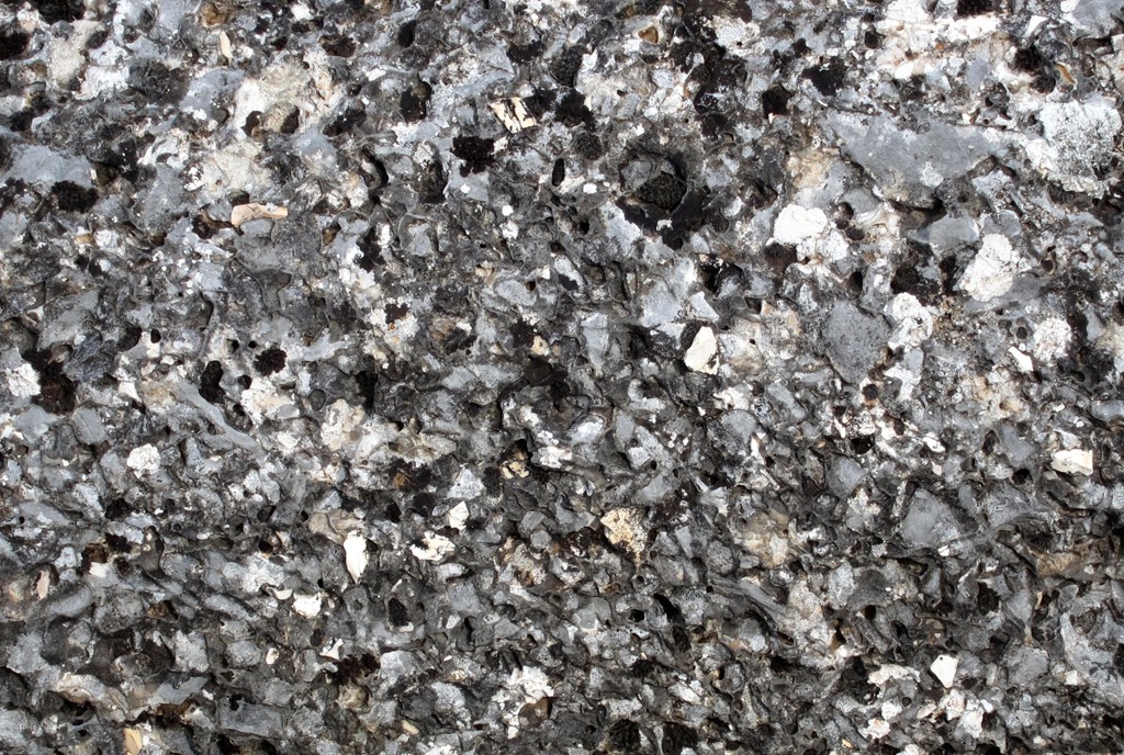
The surrounding wall was constructed of conglomerate limestones in rectangular forms, set in parallel lines of equal height (isodomic). It was characteristic, that it was kept at the same height, because the wall of limestone blocks served as the base for an adobe structure. This manner of construction is known from the surrounding wall of Apollonia in the 4.-3rd centuries BC. Eventually, the castle of Gjirokastra on opposite hill replaced Antigonea.
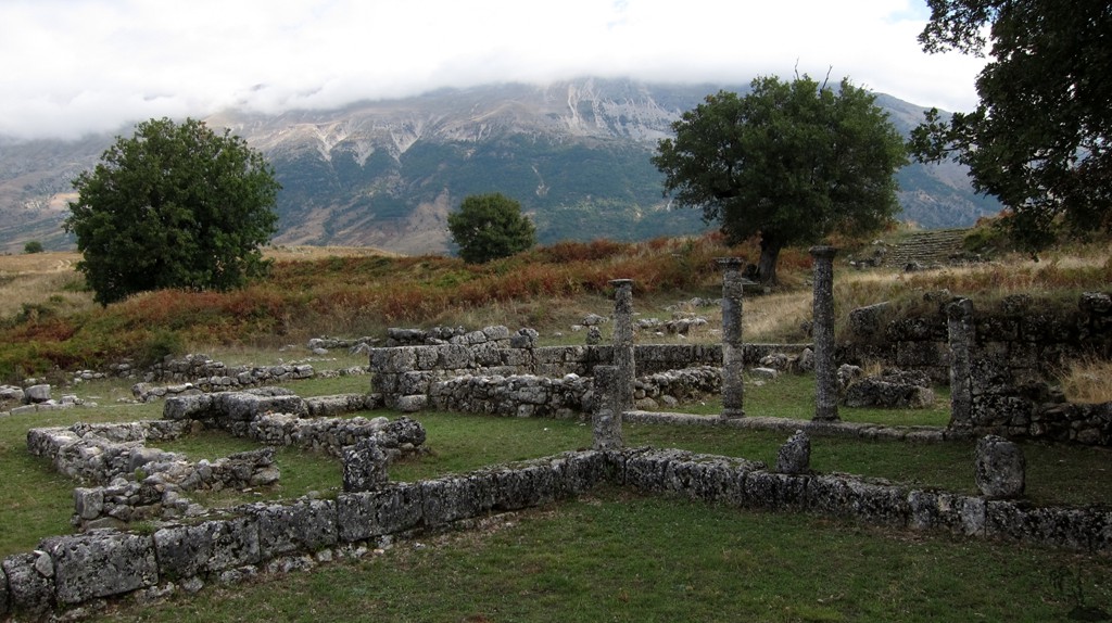
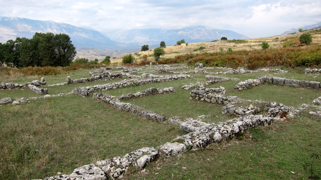
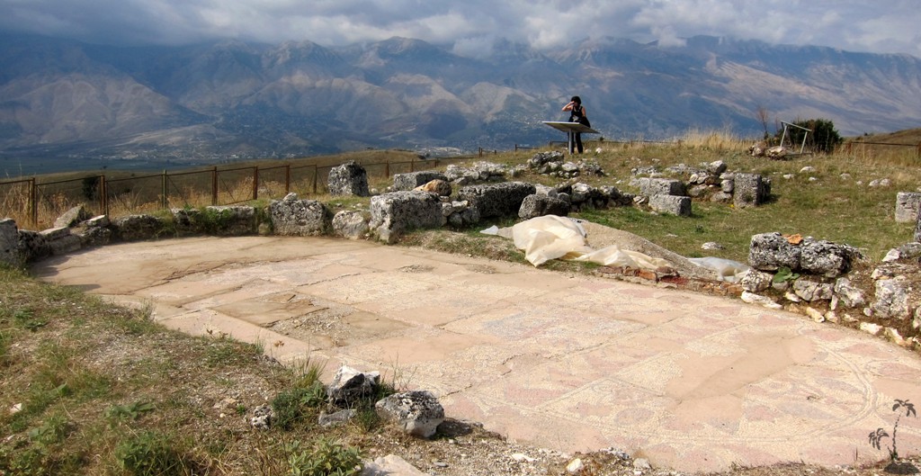
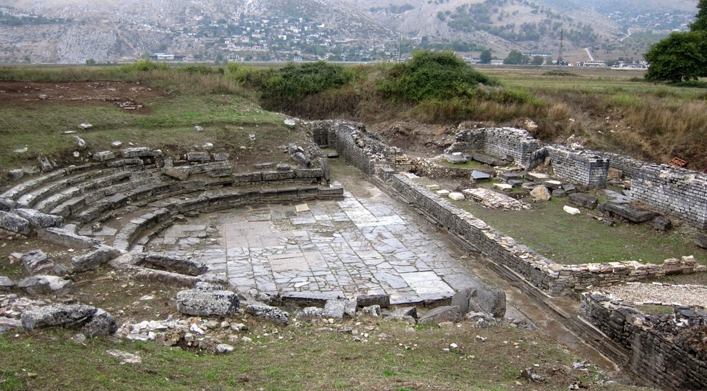
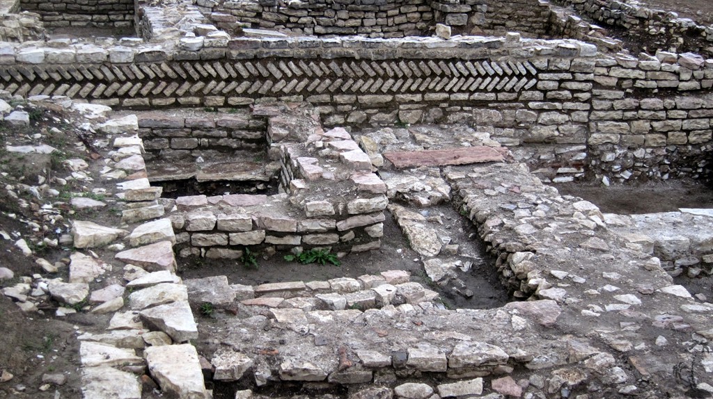
The ruins of Hadrianopolis lie in the middle of the valley of the Dropull (Drinos), facing the slope of Melani. It was founded during the reign of Roman Emperor Hadrian (117-138 AD). It is shown on an ancient map as way station between Apollonia and Nicopolis in what is today Northern Bulgaria. It was unusual that such a large city was built in a flat wide valley - this was only possible during Pax Augusta, when the Romans didn't face serious opposition.
Harianopolis has extended over 16 hectare and was traversed by a quadratic network of roads. Excavations brought to light the city's ancient theatre in a central area, that must have been the forum. The stage wall with engraved stones was destroyed during 4-6th centuries AD. At that time Hadrianopolis is mentioned as a city rebuilt by Emperor Justinian.
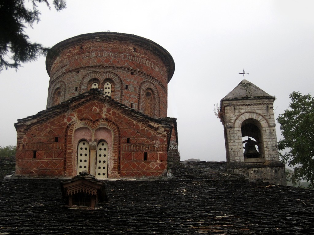
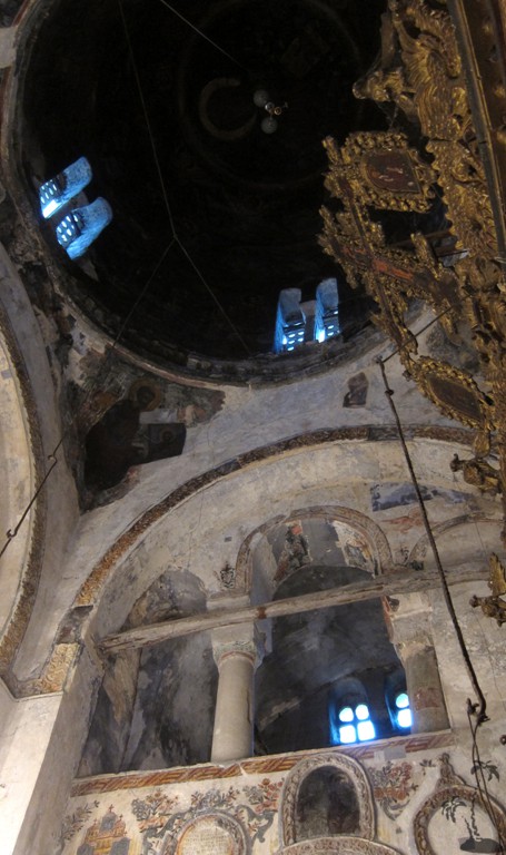
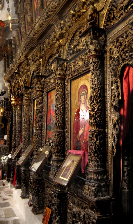
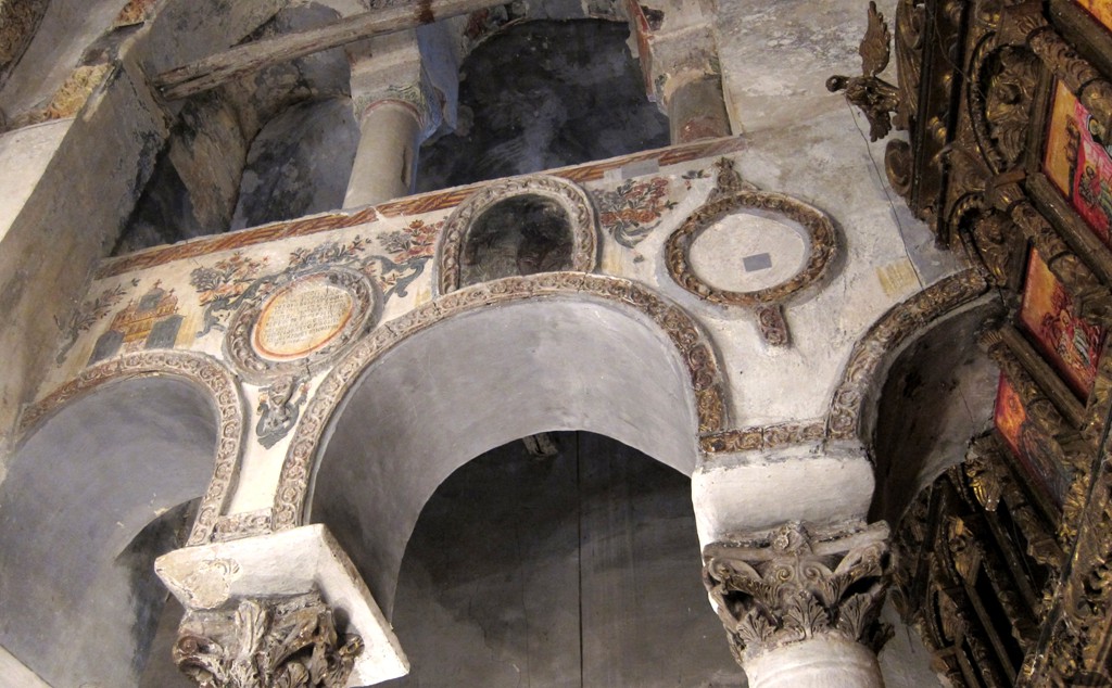
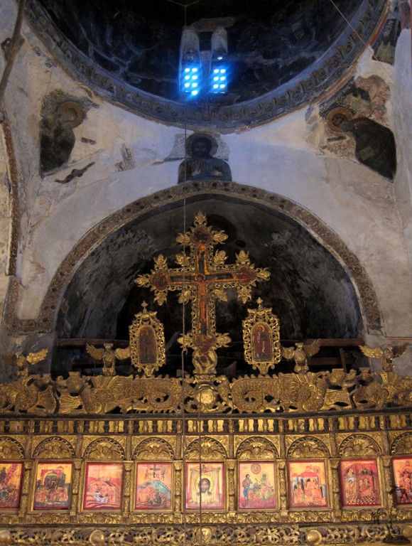
The name of Labove e Kryqit, with its Byzantine church of St. Mary's, derives from a relic believed to be a piece of the true cross of Christ. It was stolen from the church during the unrest of the early 1990s. Tradition has it that Emperor Justinian started building in the 6th century. The church as seen today is partially from the 10th century while essentially a creation of the 13th century - the time of the Despots of Epirus. The cupola is based on a quadrangular shape, which is a rare way of construction.The building is typically Byzantine with a high central cupola with nave and aisles arranged in a cruciform plan. A later narthex provides the principal entrance, through a cloister. There are nine distinct levels of fresco painting on the interior walls.
http://www.gjirokastra.org/sub_links/visiting_sub/visiting_labove.html provides extensive information.
http://www.libohova.info/projekti/?lang=en also provides a detailed narrative.
Also see: http://www.antigonea.org
The keys are held by the custodian Kristo Luzi who lives across the street. The phone number is on the door to the church yard.
The Drive: In order not to clutter the map, the trail starts in Anitgoneia, returns to Gjirokastra, leaves the city at its south end, passes the ancient bridge, takes a turn and underpass to Hadrianaopolis, returns to the main road and finally leads to Labove to visit St. Marys church. The ancient gravesite further south along the main road to Greece is marked as waypoint without trail.
| Maximum altitude: | 700 meter |
| Minimum altitude: | 190 meter |
| Cumulative height: | 557 meter |
| Cumulative length: | 42 kilometer |
| Difficulty | easy |
| Time: | 1/2 day to see it all |
| Date of this record | September 2012 |
| Download GPS info: | Treasures near Gjirokastra |
General location and approach: Everything is in easy reach of Gjirokaster, and can be combined to a leisurely outing
Other Information: All sites can be reached easily by regular car. Much of road from Lobohove to Labove is gravel.


GPS and trailmaps: The map and trailinformation is generated by www.wikiloc.org, based on GPS information collected from the actual hike. Waypoints can be downloaded to a GPS device from Wikiloc. If necessary, use GPSBabel to convert GPS data to different formats. For more hike descriptions by Palmtreetreeproduction, browse this website or visit Wikiloc and search for "Palmtreeproduction". You may also find nearby trails from other authors.
Google Earth: You may also view the trail in 3D by viewing it directly in Google Earth. You need to have Google Earth installed on your computer. Activate "wikiloc"in the "Gallery" menu in Google earth.