PALM TREE PRODUCTIONS
back to Albania site back to hikes and climbs back to Locations and Travel
Two for One and Zhllima![]()
Summary: This is a long trail of almost 16 kilometer, requiring good orientation, river crossings (in winter), and other obstacles. But then, you will be rewarded with many experiences and some good (in)sights into what must be the most remote area west of Tirana.
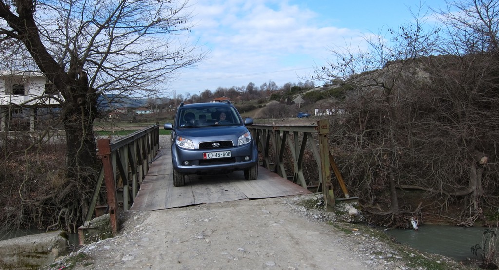
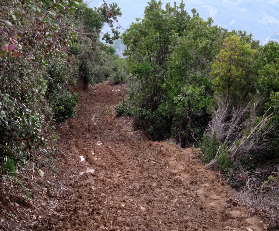
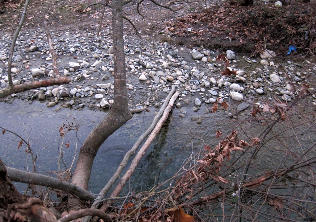
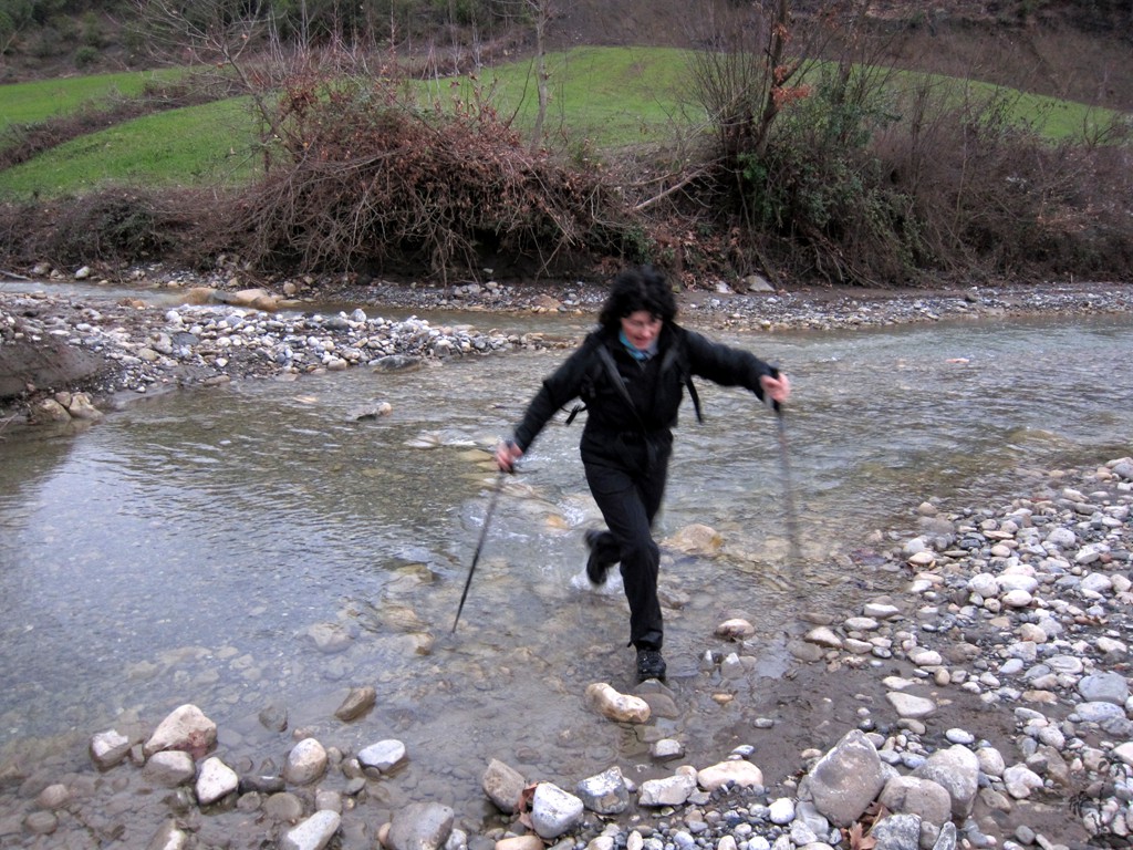
Our original route-finding experience extended to 18.3 kilometer and more than 1100 meter cumulative altitude gain, and finished while trying to negotiate extraordinarily muddy trails and to cross several swollen rivers (including Zhllima e Madhe) over doubtful makeshift bridges in pouring rain and approaching darkness.
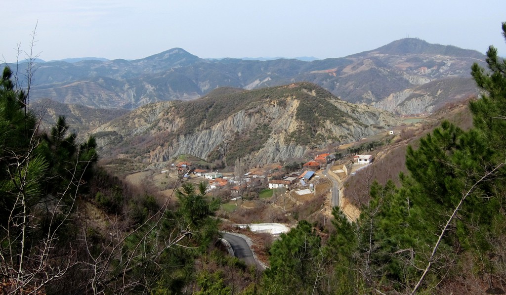
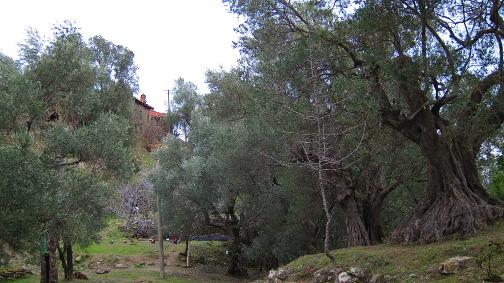
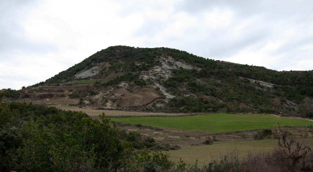
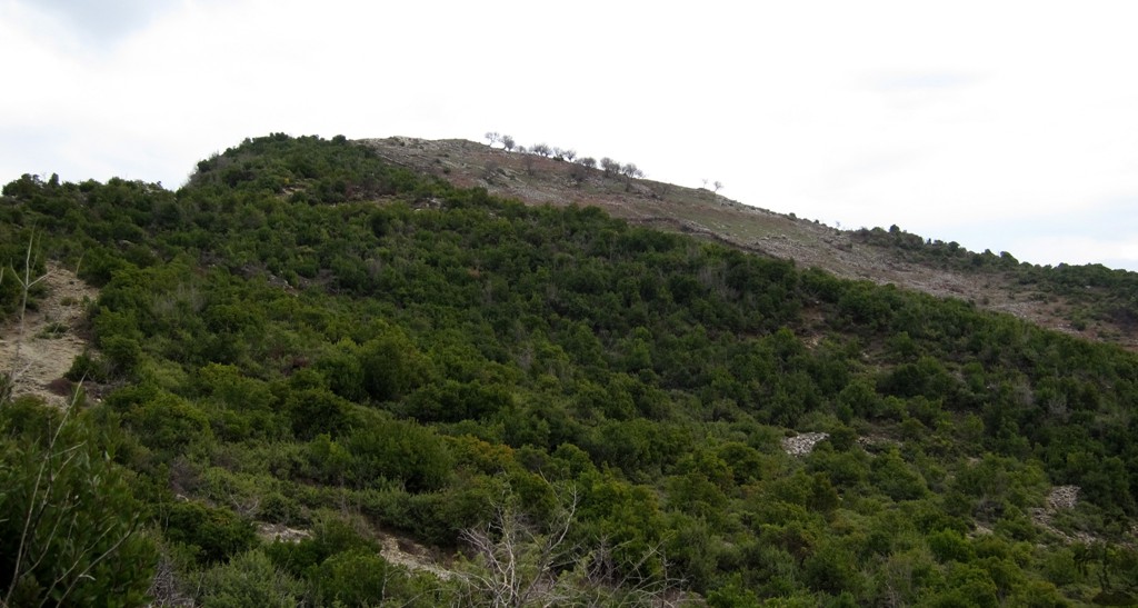
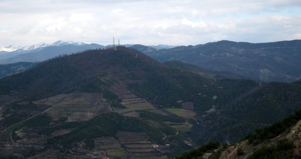
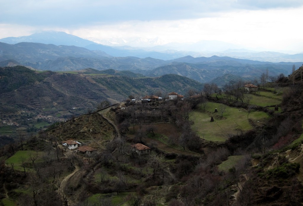
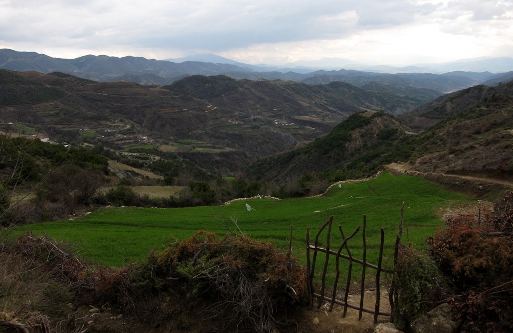
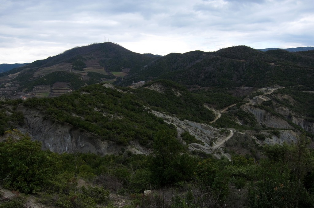
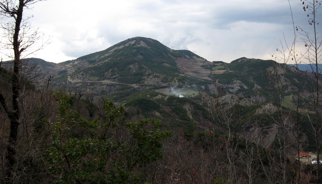
The trail straddles the border between Tirana and Elbasan region, climbing the worthy peak of ShenMarie, and the higher - but perhaps less worthy - Kodra e Luncit with its antennas. Specifically, the hiker will venture into the communes of Baldushk (Tirana Region), Gracen (Elbasan Region) and Berzhite (Tirana Region). Interestingly, dirt roads to the villages close to the these mountains only connect to their districts and their respective district capitals, with few paths connecting the communities across the district boundaries.
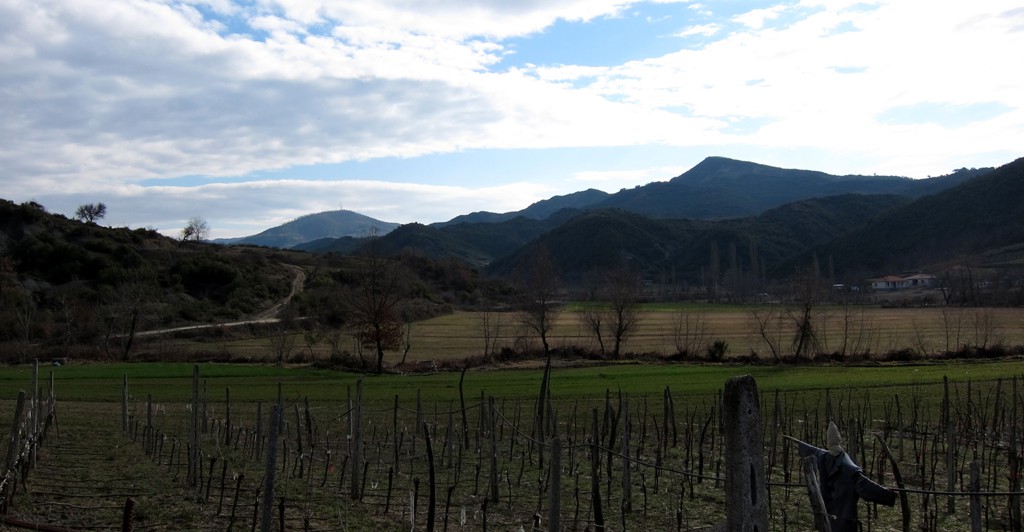
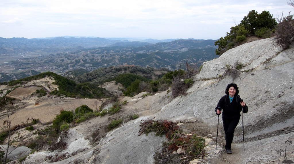
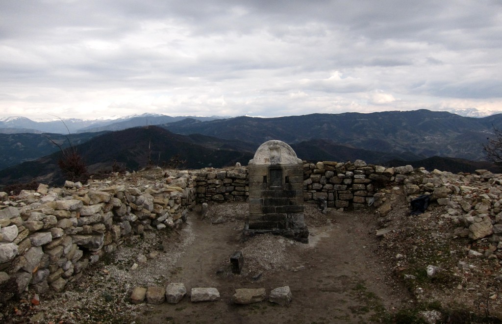
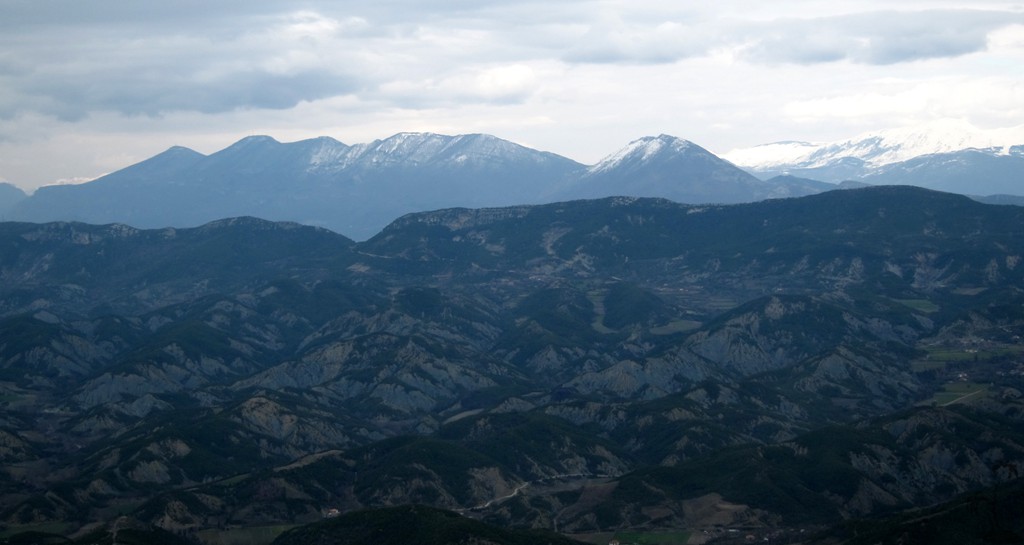
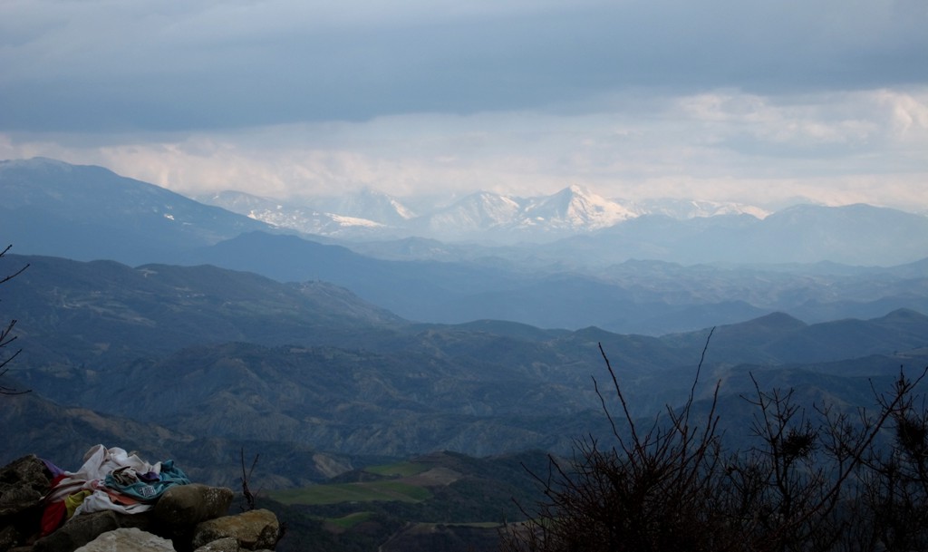
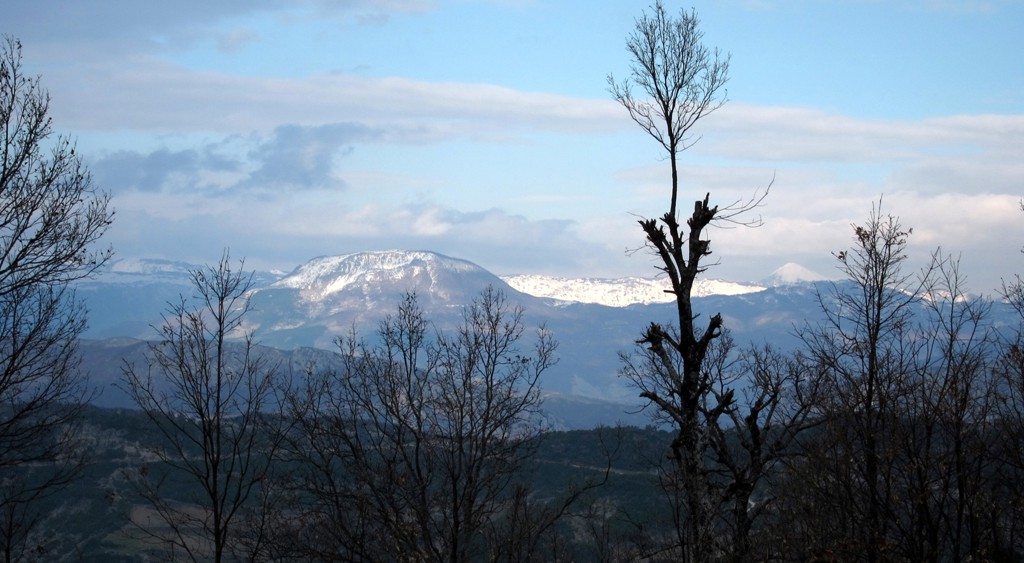
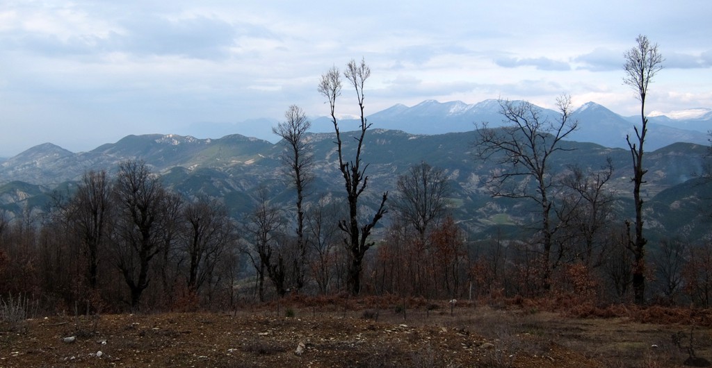
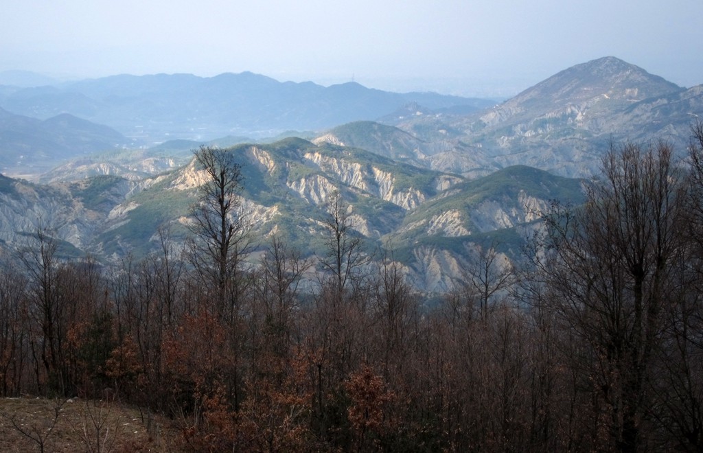
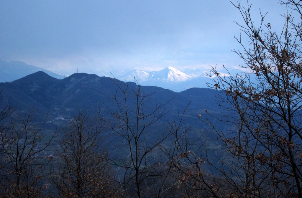
Expectedly, views into all directions abound.
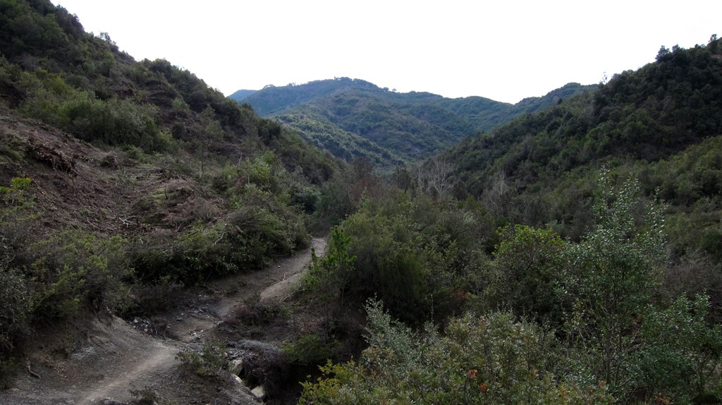
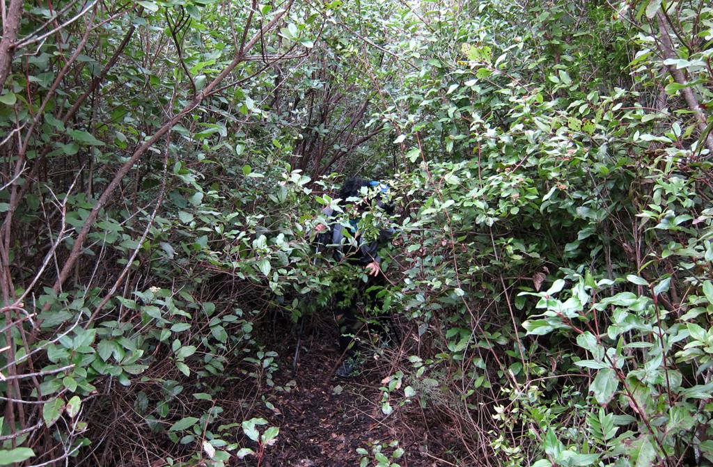
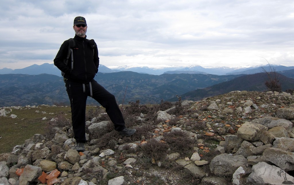
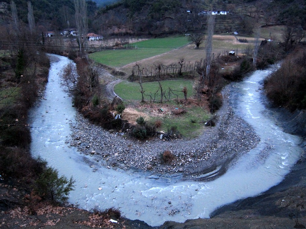
The Hike: The hike startes near one of the bridges across the Zhllima River. You have to cross some private property, but the farmers were welcoming and we met several people who were happy to see tourists exercising on their mountains. Because of high waters, the return trip (in the valley, crossing several streams) became somewhat of an obstacle course - in summer when the waters are low it should be possible to return by just following the bed of the Zhllima River (instead across the fields and the road).
| Maximum altitude: | 758 meter |
| Minimum altitude: | 204 meter |
| Cumulative height: | 879 meter |
| Cumulative length: | 15.58 kilometers |
| Difficulty | moderate |
| Time: | 7 hours |
| Date of this record | February 2013 |
| Download GPS info: | Two for One |
General location and approach: The trailhead is reached from Tirana by driving to and through Baldushk, until the asphalt road ends. Turn left towards Kocaj and continue to the trailhead. About 25 kilometers from Tirana.
Other Information: It should be possible, without much difficulty, to climb the two mountains separately, on shorter hikes - though then you don't get Two for One. Combining the two is certainly a good training exercise!
GPS and trailmaps: The map and
trailinformation is generated by
![]() , based
on GPS information collected from the actual hike. Waypoints
can be downloaded to a GPS device from Wikiloc. If necessary, use
GPSBabel to
convert GPS data to different formats. For more
hike descriptions by Palmtreetreeproduction, browse this
website or visit Wikiloc
and search for "Palmtreeproduction". You may also find
nearby trails from other authors.
, based
on GPS information collected from the actual hike. Waypoints
can be downloaded to a GPS device from Wikiloc. If necessary, use
GPSBabel to
convert GPS data to different formats. For more
hike descriptions by Palmtreetreeproduction, browse this
website or visit Wikiloc
and search for "Palmtreeproduction". You may also find
nearby trails from other authors.
Google Earth: You may also view the trail in 3D when viewing it in Google Earth, which you need to have installed on your computer. The 3D perspective allows a good preview of gradients, steepness, possible views and is generally helpful when planning a trip.