PALM TREE PRODUCTIONS
back to Albania site back to hikes and climbs back to Locations and Travel
Martanesh - Journey Through The Interior![]()
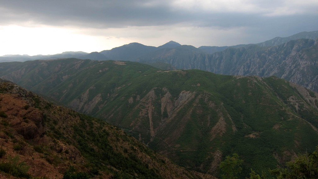
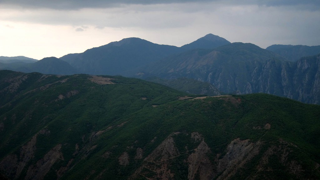
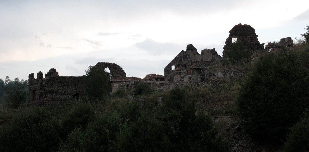
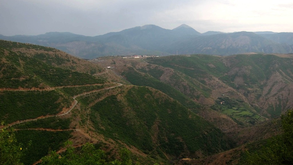
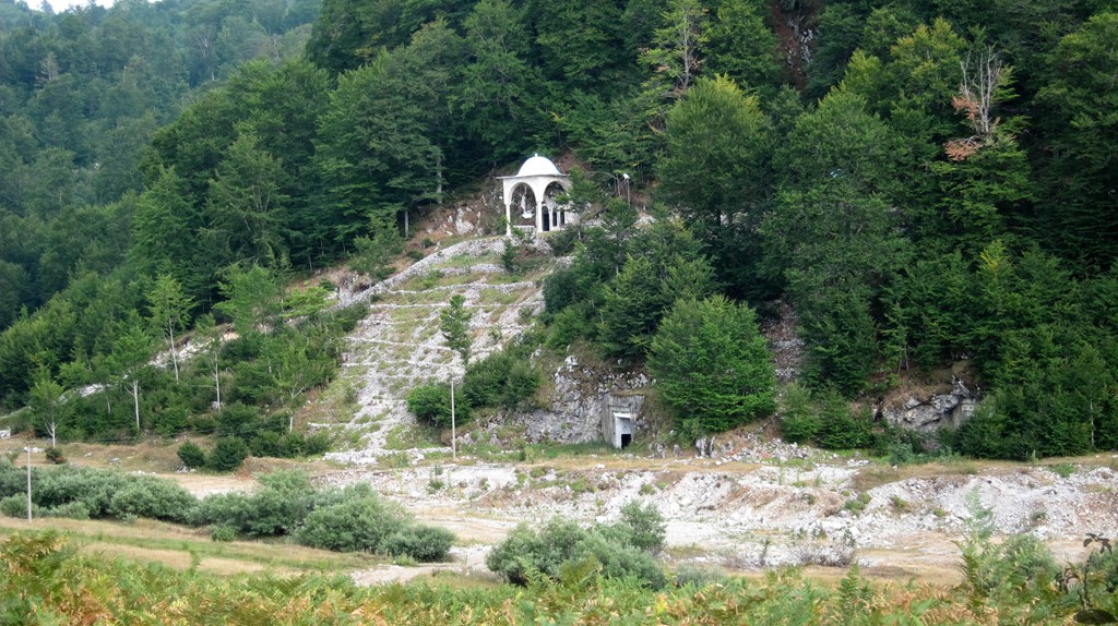
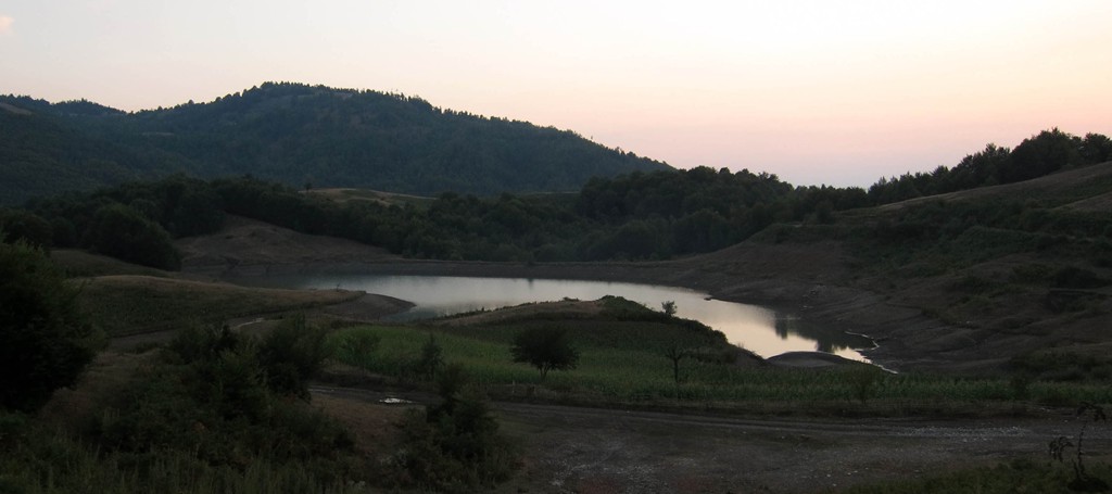
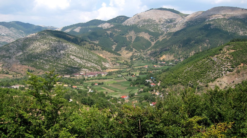
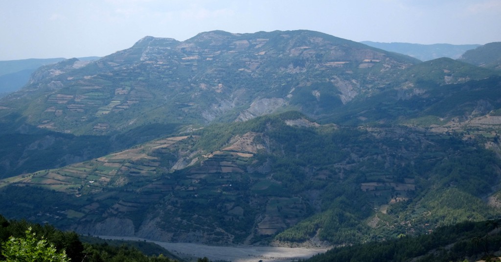
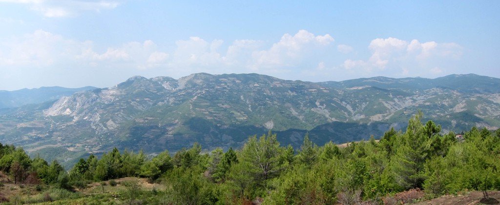
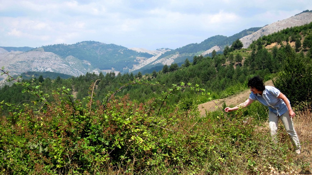
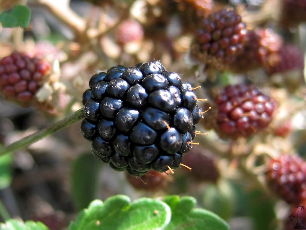
Summary: Martanesh is part of the mountain range "behind Dajti". The area is only thinly polulated and the roads are mainly used by the military, hunters or people collecting firewood or berries, mushrooms, and tea.There is also a Bektashi shrine, almost in the center of the area, near Ballenjë, which is near the abandonned town of Bizë.
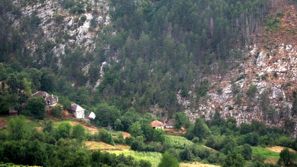
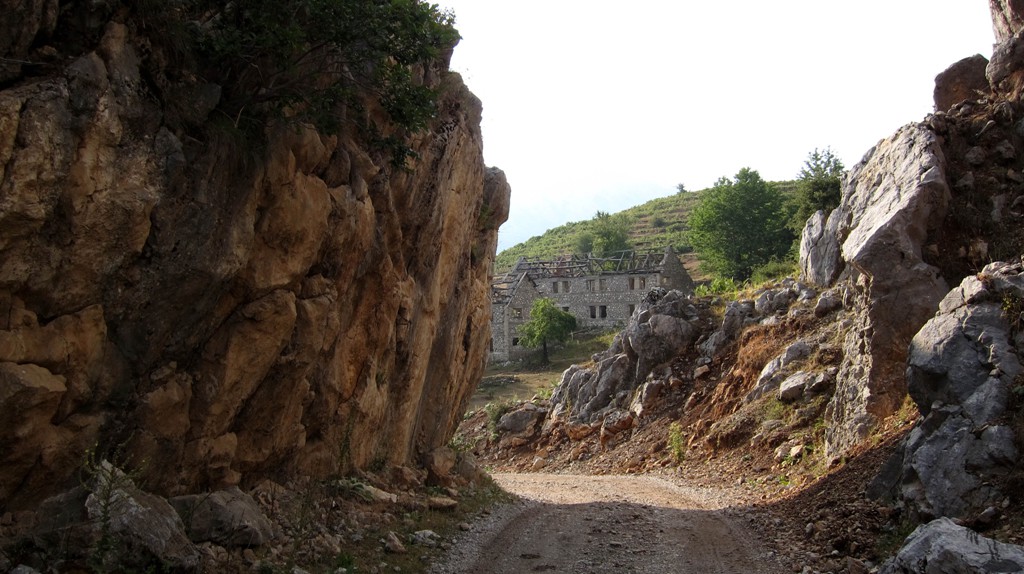
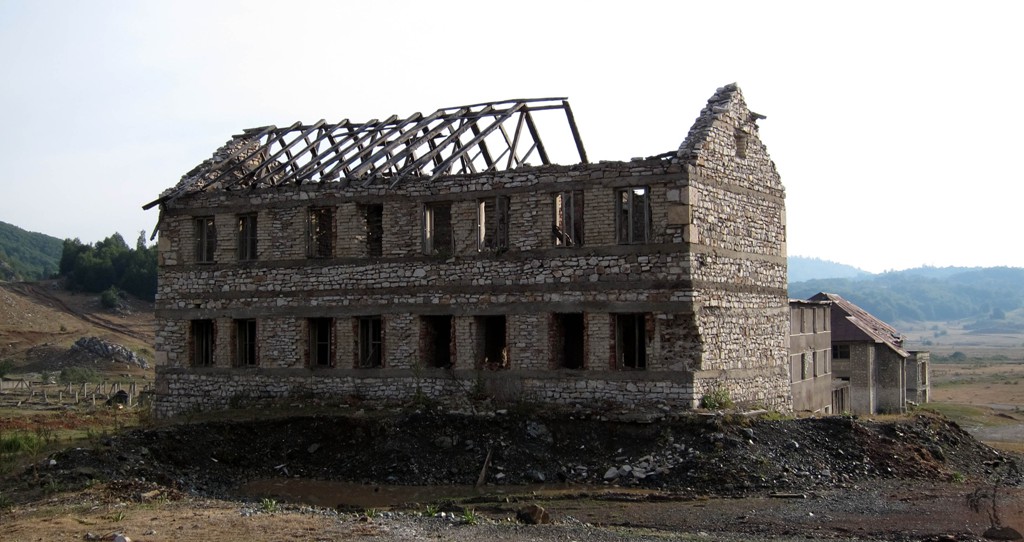
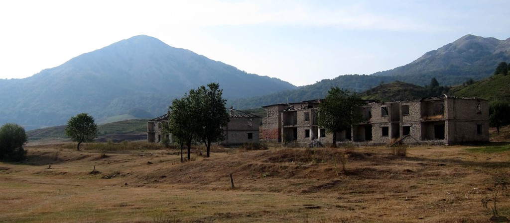
Bizë is mainly a temporary military base, used for practice by the Albanian army. We once drove through one of those exercises, receiving assurances that we would be safe, and that we are welcome to climb the nearby Mali i Snojt.
While the area can be reached from Tirana on several ways, this trip starts on Bulqize and ends in Elbasan. It is a long but interesting journey. If done in one trip, an early start is advisable so as to avoid hitting nightfall.
The map is broken into two parts, to allow a combination of trips. For instance, from Bizë it is possible to go to Tirana (several routes), or back to Klos (between Burrel and Bulqize - see separate trail)
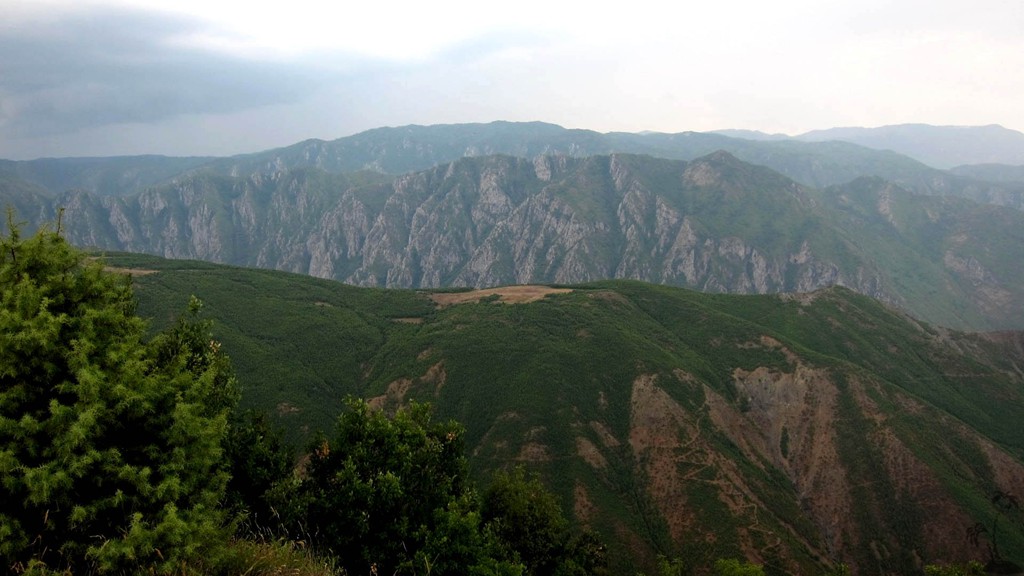
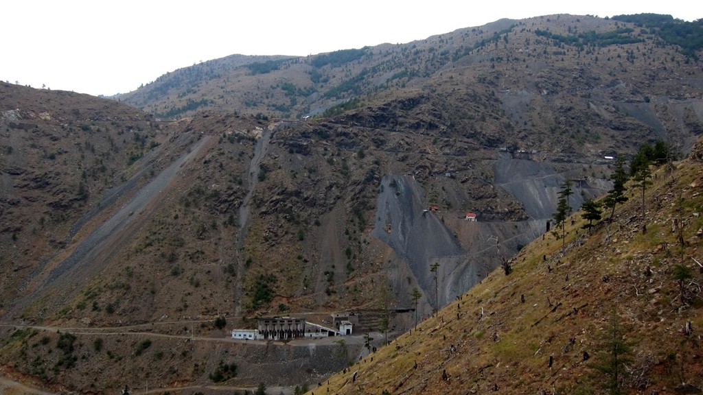
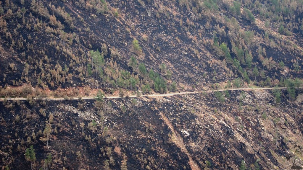
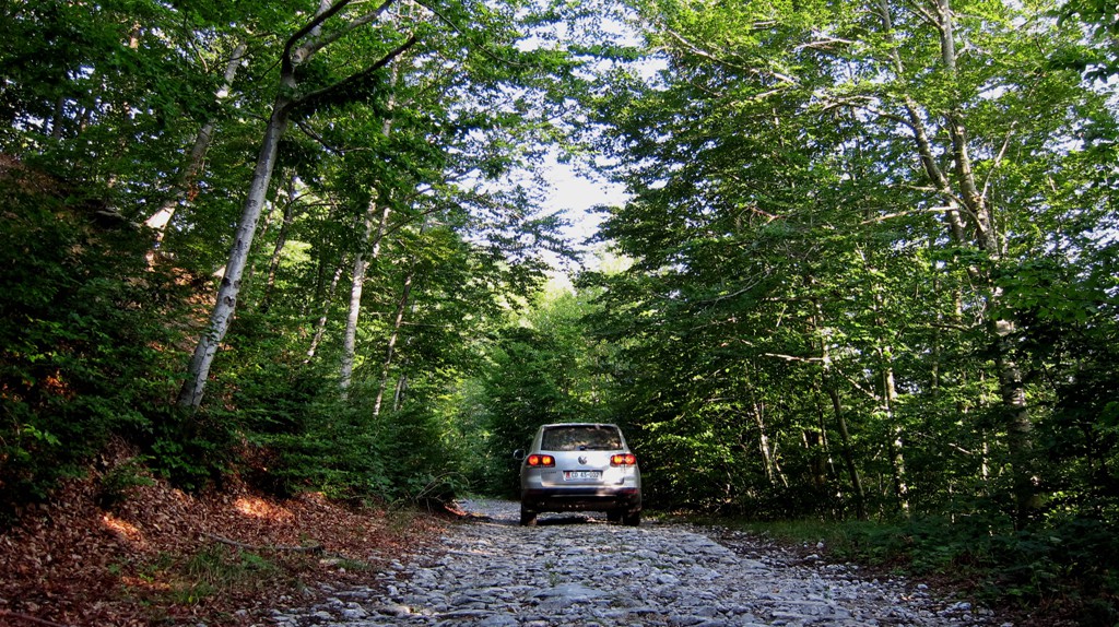
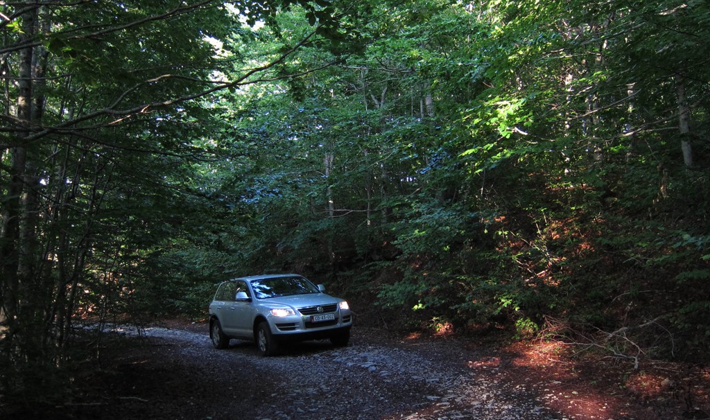
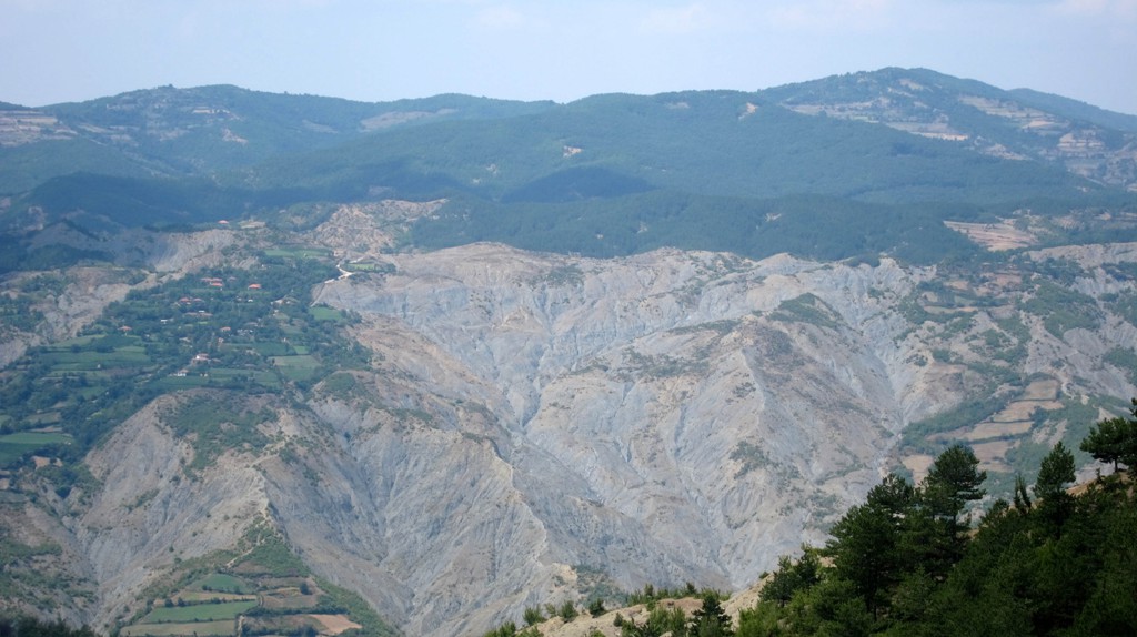
This first trail from Bulqize leads first to a chromium mining area, which is a little different from the usual 4WD experience.
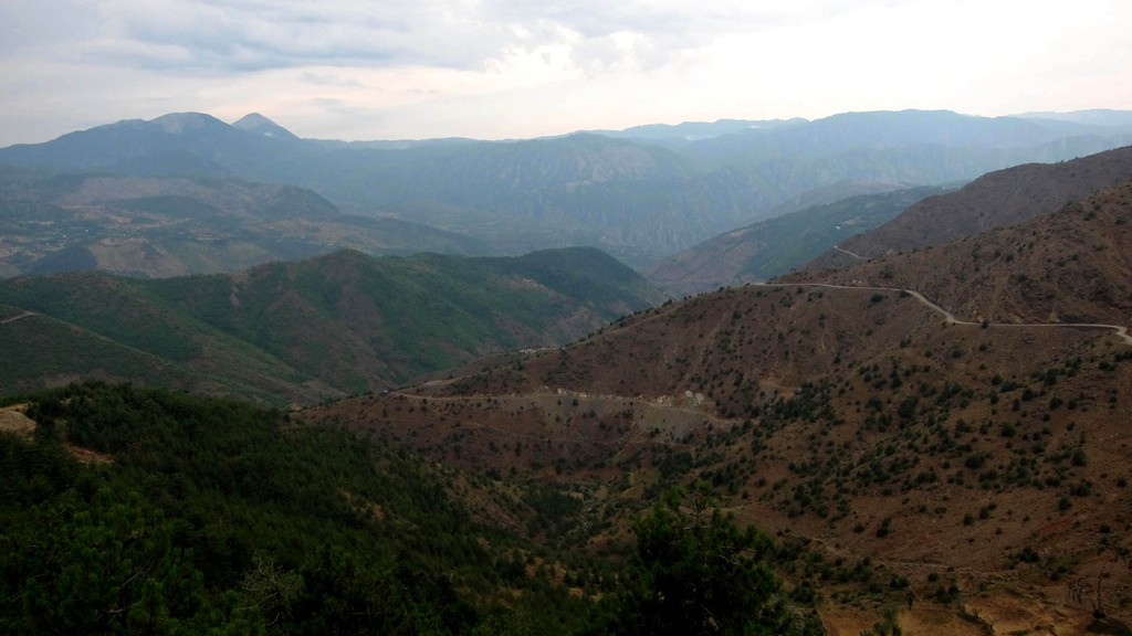
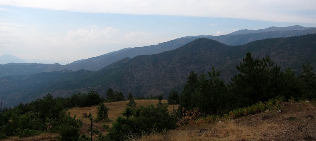
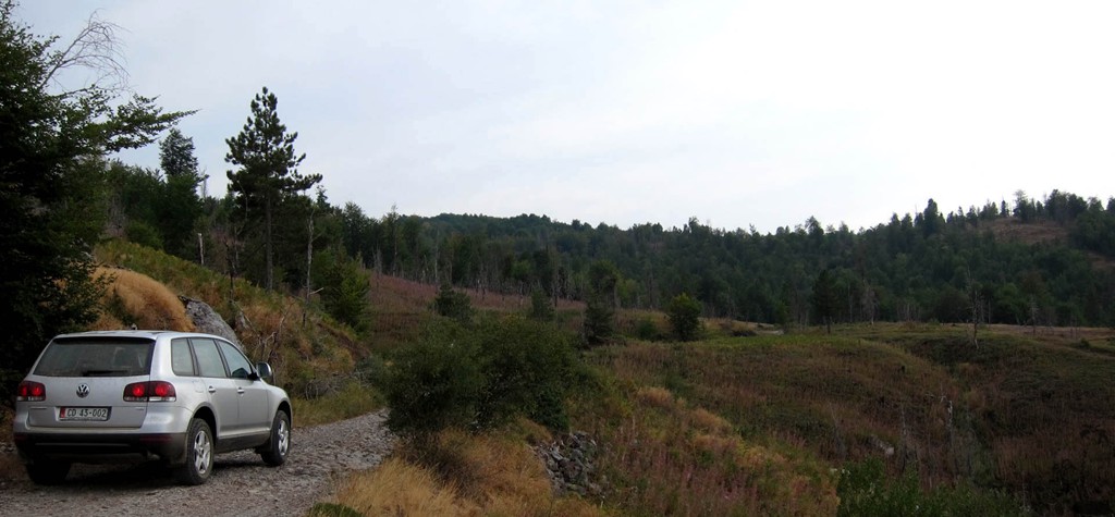
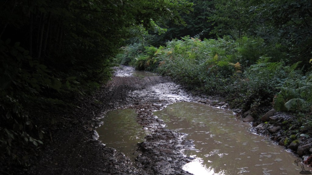
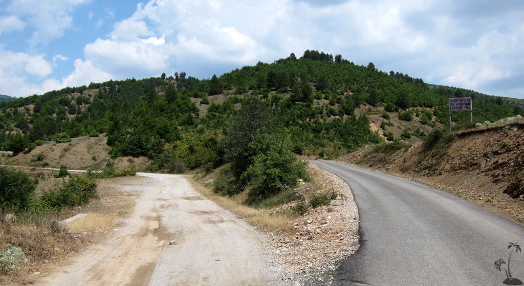
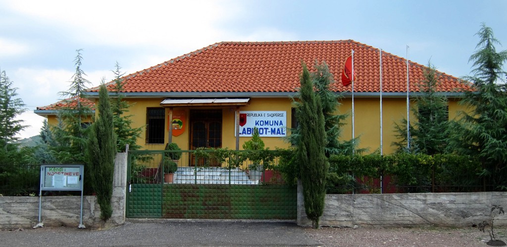
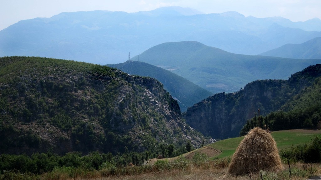
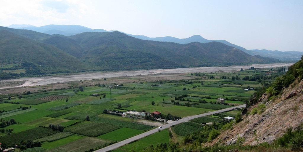
The second road from Bizë to Elbasan is marked as a major regional or district road on many maps, but a high-clearance vehicle is a must and a 4WD advisable. While there is asphalt from Labinot to Elbasan, the trail is very long. Much of it is on an old military road paved with rocks, and movement can be slow. We once drove the road in fall after rains. The deep ruts were filled with water, covered with the falling leaves floating on top, which made it very difficult to see the holes. With time, and in reasonable weather, this must be one of the most beautiful 4WD experiences in the vicinity of Tirana.
The Drive from Bulqize to Kraste to Ballenje
| Maximum altitude: | 1437 meter |
| Minimum altitude: | 833 meter |
| Cumulative height: | 1080 meter |
| Cumulative length: | 39 kilometers |
| Difficulty | moderate |
| Time: | 3 hours |
| Date of this record | August 2012 |
| Download GPS info: | Bulquize to Ballenjë |
The Drive from Bizë to Labinot to Elbasan
| Maximum altitude: | 1494 meter |
| Minimum altitude: | 168 meter |
| Cumulative height: | 1952 meter (down) |
| Cumulative length: | 63 kilometers |
| Difficulty | moderate |
| Time: | 4 hours |
| Date of this record | August 2012 |
| Download GPS info: | Ballenjë to Elbasan |
General location and approach: East of Tirana. This description combines both trips for a journey from Bulqize to Elbasan.
Other Information: Consult other trip description on this website, for instance Mali i Snojt, or from Tirana to Klos (which has a map of all the roads in the Martanesh area).
GPS and trailmaps: The map and trailinformation is generated by www.wikiloc.org, based on GPS information collected from the actual hike. Waypoints can be downloaded to a GPS device from Wikiloc. If necessary, use GPSBabel to convert GPS data to different formats. For more hike descriptions by Palmtreetreeproduction, browse this website or visit Wikiloc and search for "Palmtreeproduction". You may also find nearby trails from other authors.
Google Earth: You may also view the trails in 3D. You need to have Google Earth installed on your computer. When in Google Earth, activate the "Wikiloc" icon in the "Gallery". The wikiloc icons will appear on the map. Clicking them will allow you to "show the trails" directly in Google Earth, including in 3D.