PALM TREE PRODUCTIONS
back to Albania site back to hikes and climbs back to Locations and Travel
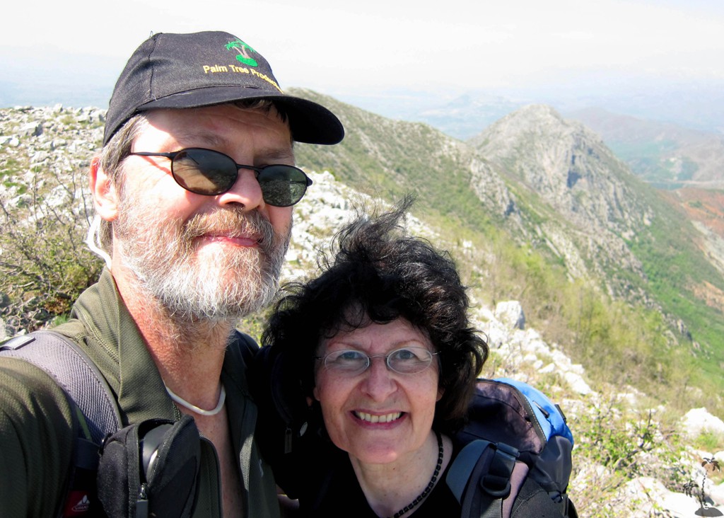
From Velës to Velës![]()
Summary: We found a trail from Rrëja e Velës to the main summit of Mali i Velës, the widely visible mountain behind Lezha town. We had climbed Mali i Velës before, from the village of Kalumet, from where a path leads to the weatherstation on the northern end of the main Velës Ridge. Then there was no time to continue to the main (southern) summit. Now we got serious about it.
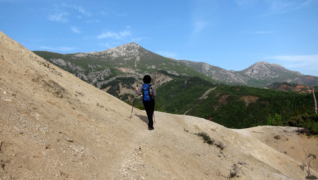
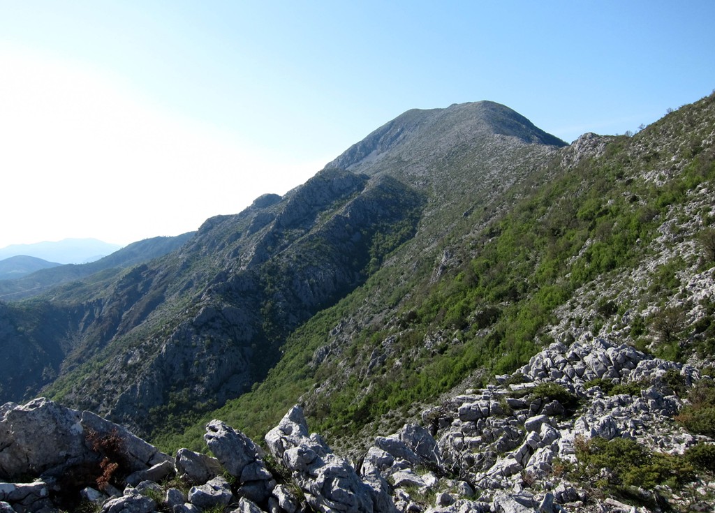
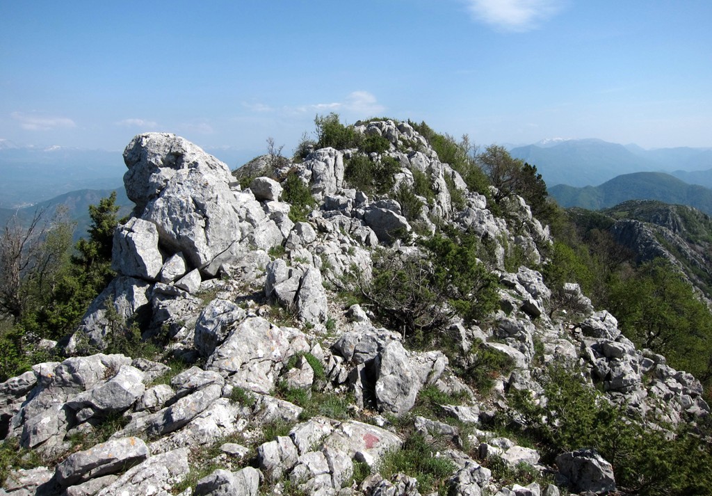
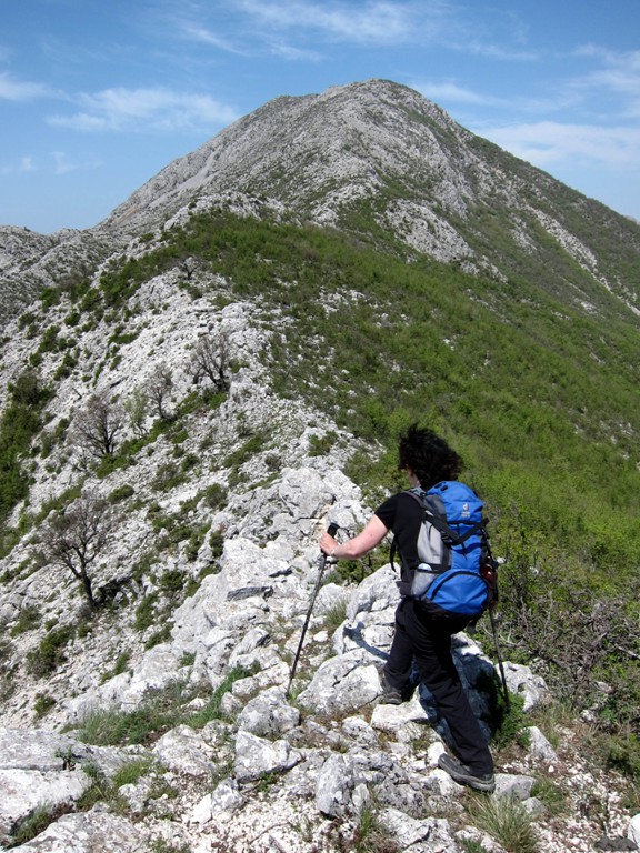
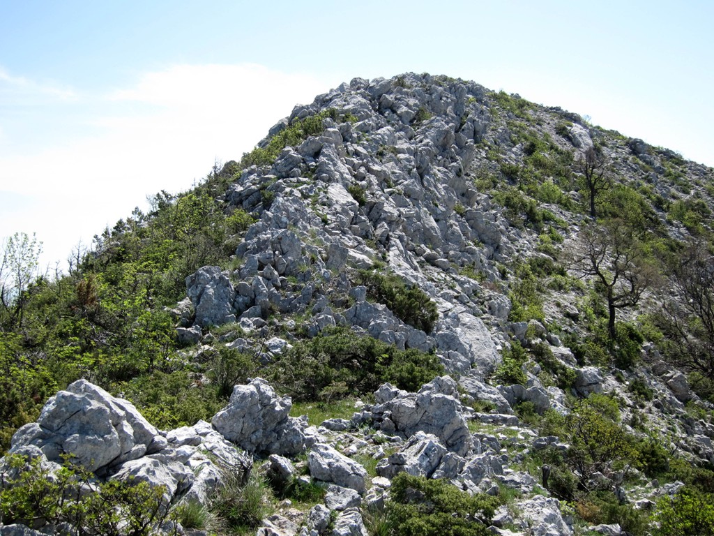
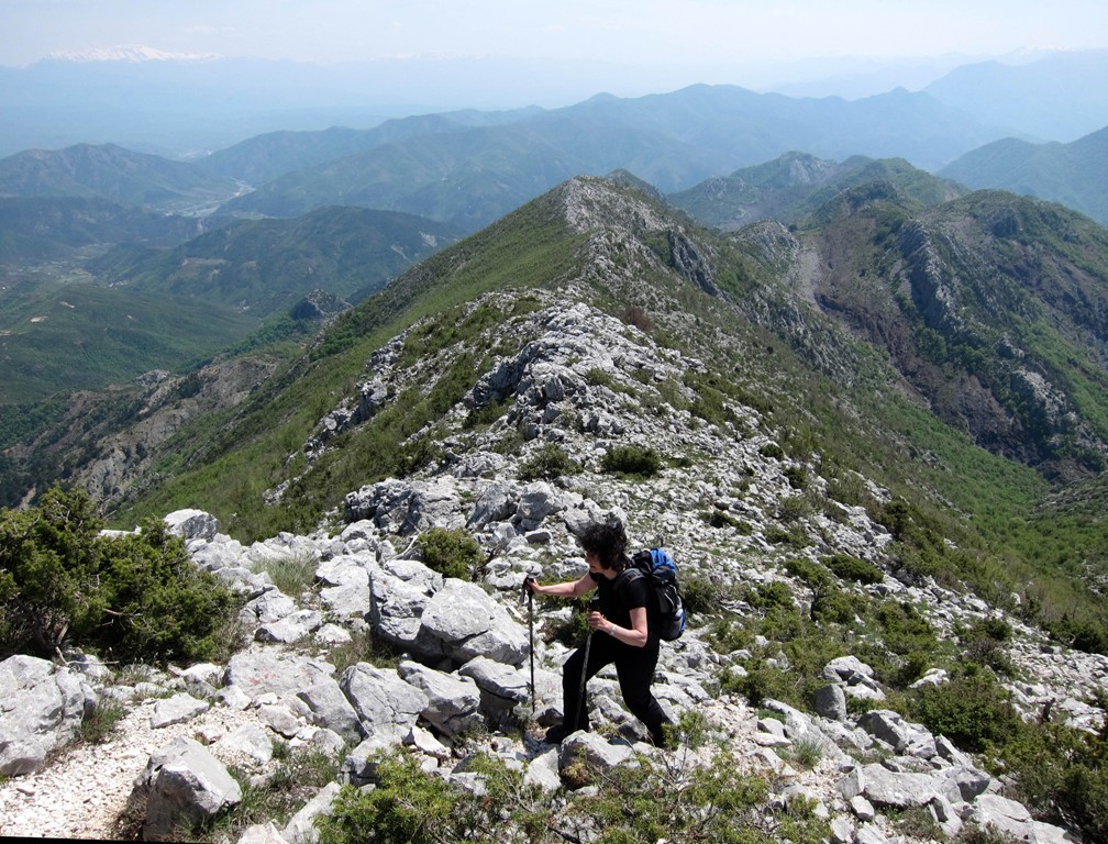
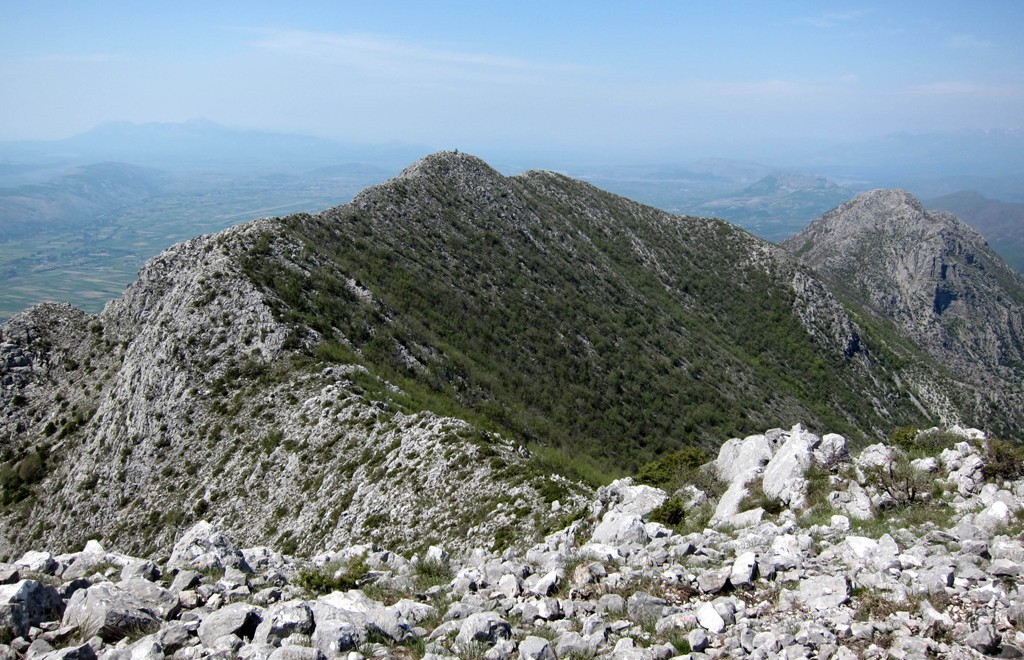
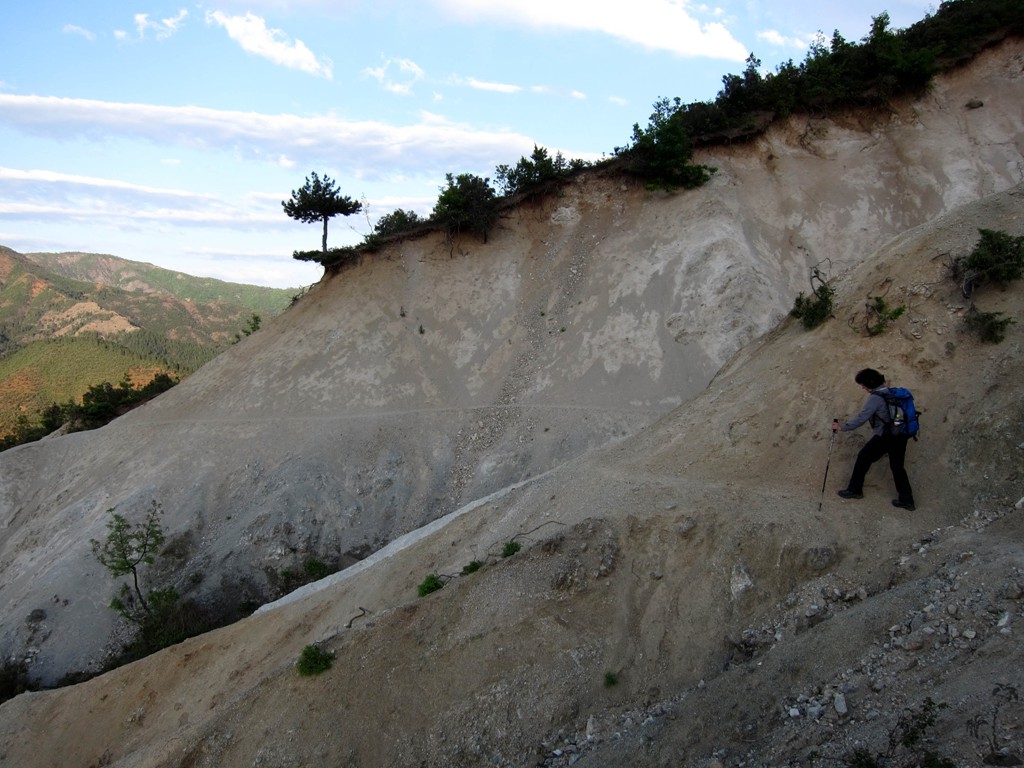
To cut a long story and a long hike short, we did find a trail - but it it remains a tough hike. The ridge south of the main summit is 2.8 kilometer long, and for the most part is of karstic rock which can make for uncomfortable and slow hiking. To reach the ridge, you have to hike for 4.5 kilometer through terrain that is not always straightforward. The return hike makes for a total of 14.6 kilometer with a total of 1200 meter elevation gain and loss.
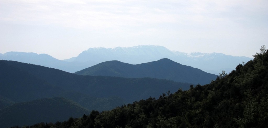
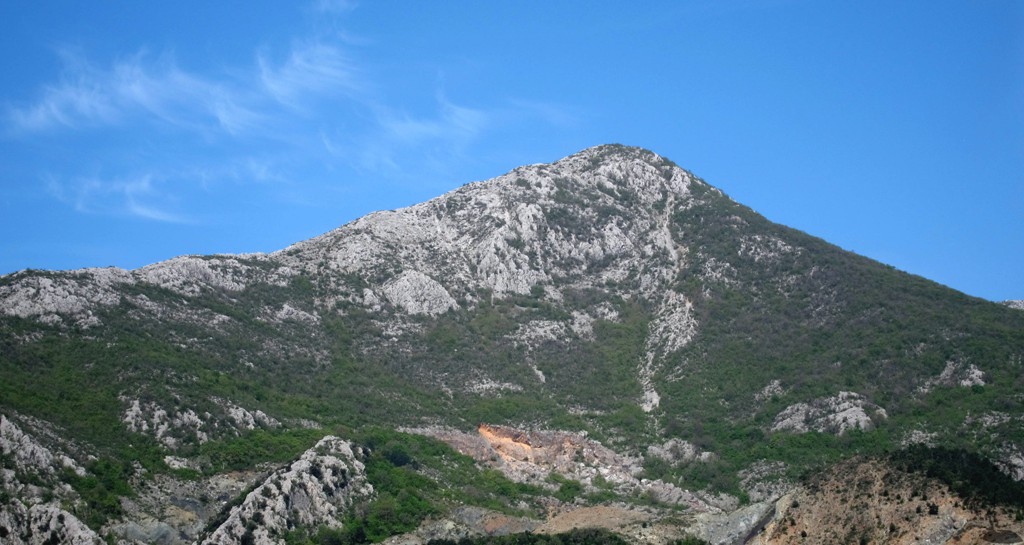
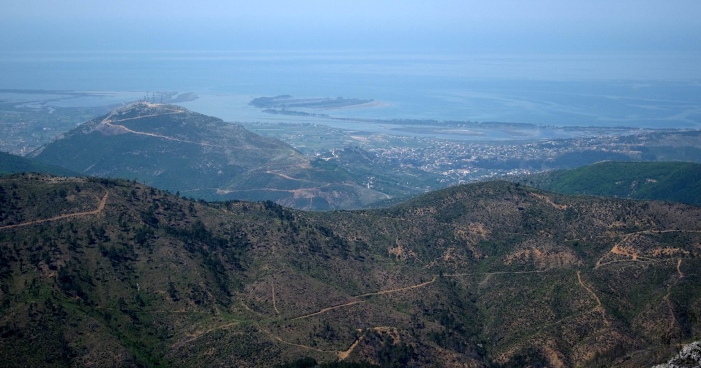
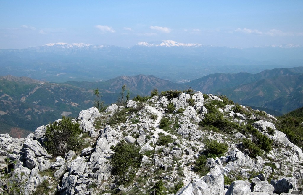
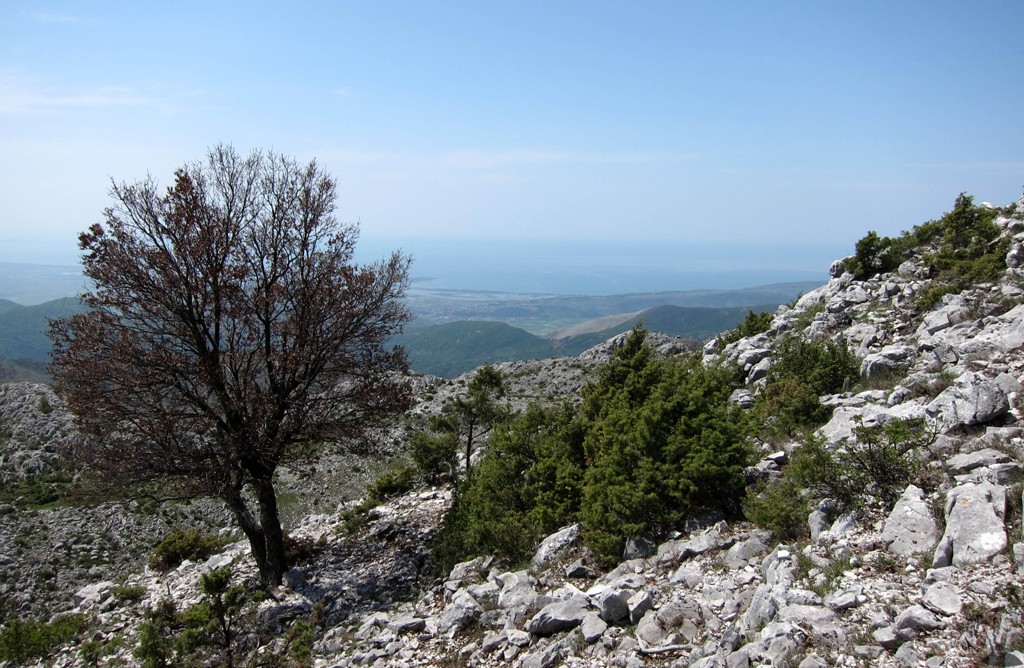
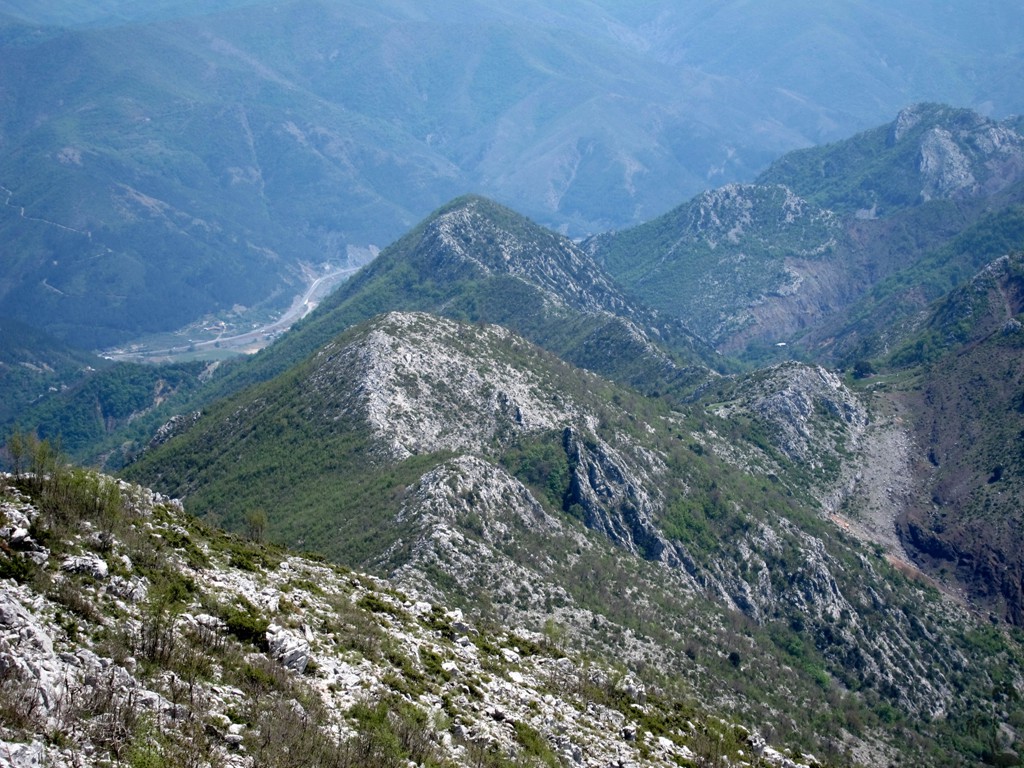
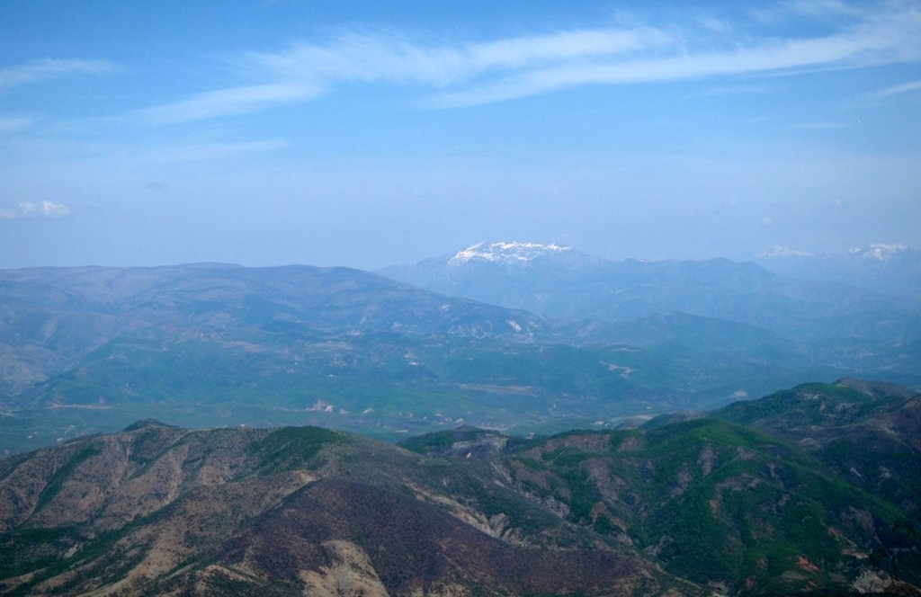
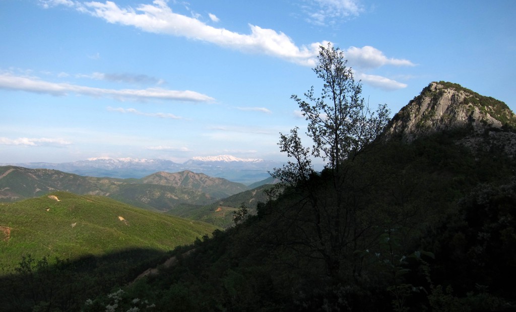
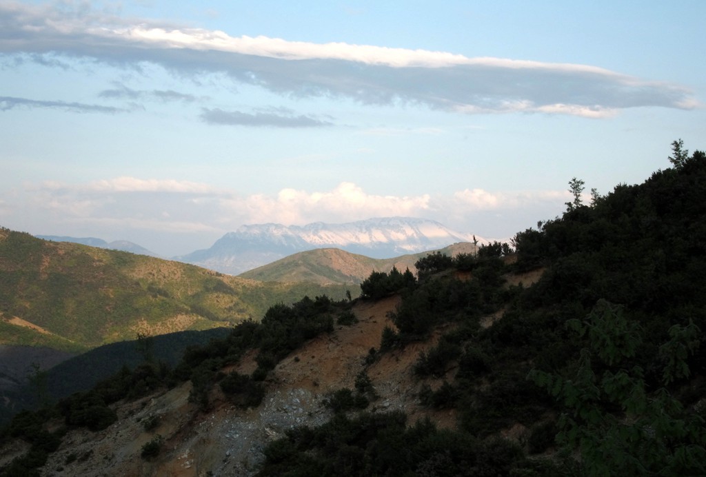
The reward is great. Velës mountain is standing by itself, close to the Adriatic Sea, and affords views in all directions. Though we hit a rather hazy day, we could see Rumoja Mountain in Montenegro, the snow covered Albanian Alps, Munellë Mountain, Gallicia near Kukes, the Crown of Lure, Mali i Dejes, Mali i Snojt, Mali me Gropa, and the "front range" near Tirana (Dajti Mountain, Kruja Mountain etc).
For those seeking variety, you may ascend by a shorter bushwhack to the main ridge. The bushwhack is steep (more than 60% in spots) and exhausting, though not exposed. The pleasure to emerge on the summit ridge free of vegetation is enormous.
There is very little water, if any, on Velës mountain and the hiking routes. Since you start close to sea level, the mountain can get very hot in the summer, so an early start is advised; or better do hike during the cooler season.
The Drive to the Trailhead:
| Maximum altitude: | 146 meter |
| Minimum altitude: | 64 meter |
| Cumulative height: | 96 meter |
| Cumulative length: | almost 5 kilometer |
| Difficulty | easy |
| Time: | 20 minutes |
| Date of this record | April 2013 |
| Download GPS info: | Drive to Veles |
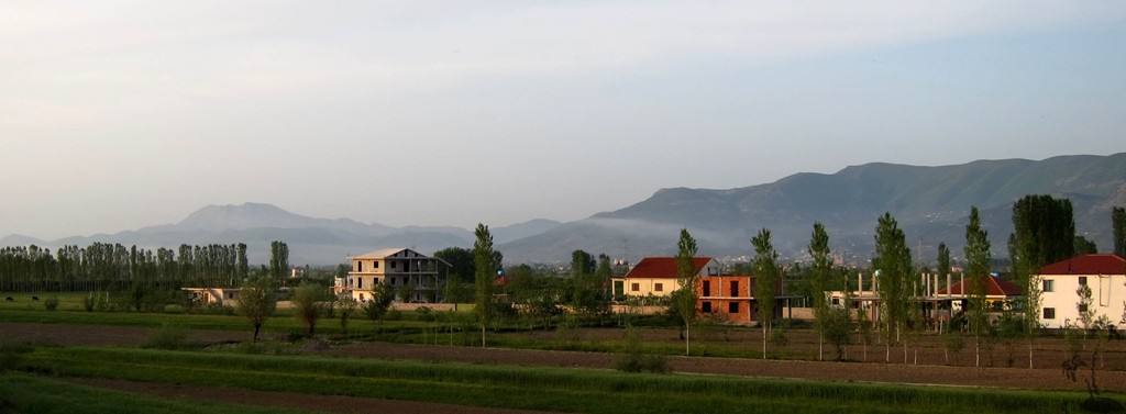
General location and approach: From Milot, travel into the direction of Kukes. Once the highway crosse to the northern side of the Mat river, watch out for the turn-off towards Rrëja i Velës (not signposted).
The Hike:
| Maximum altitude: | 1168 meter |
| Minimum altitude: | 152 meter |
| Cumulative height: | 1106 meter |
| Cumulative length: | 7.3 kilometer one way |
| Difficulty | difficult |
| Time: | 8 hours return |
| Date of this record | April 2013 |
| Download GPS info: | Mali i Velës summit |
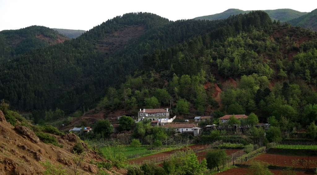
General location and approach: Start at the school (or church) of Rrëja e Velës.
Other Information: Decide wether you wish to come and return the same way, or whether you wish to bushwhack up the ridge along the shortcut shown below. Either way, we recommend the regular trail for the return journey. This will add another 100 or more meters to the toal elevation gain.
The Bushwhack: Import this trail if you really want to bushwhack.
| Maximum altitude: | 842 meter |
| Minimum altitude: | 543 meter |
| Cumulative height: | 300 meter |
| Cumulative length: | 1.5 kilometer |
| Difficulty | steep bushwhack |
| Time: | 1.5 to 2 hours |
| Date of this record | April 2013 |
| Download GPS info: | Veles south route bushwhack |
General location and approach: Shortcut on the access route to the south ridge of Velës.
Other Information: It might be tricky to find the point where best to leave the main trail.
GPS and trailmaps: The map and
trailinformation is generated by
![]() , based
on GPS information collected from the actual hike. Waypoints
can be downloaded to a GPS device from Wikiloc. If necessary, use
GPSBabel to
convert GPS data to different formats. For more
hike descriptions by Palmtreetreeproduction, browse this
website or visit Wikiloc
and search for "Palmtreeproduction". You may also find
nearby trails from other authors.
, based
on GPS information collected from the actual hike. Waypoints
can be downloaded to a GPS device from Wikiloc. If necessary, use
GPSBabel to
convert GPS data to different formats. For more
hike descriptions by Palmtreetreeproduction, browse this
website or visit Wikiloc
and search for "Palmtreeproduction". You may also find
nearby trails from other authors.
Google Earth: You may also view the trail in 3D when viewing it in Google Earth, which you need to have installed on your computer. The 3D perspective allows a good preview of gradients, steepness, possible views and is generally helpful when planning a trip.