PALM TREE PRODUCTIONS
back to Albania site back to hikes and climbs back to Locations and Travel
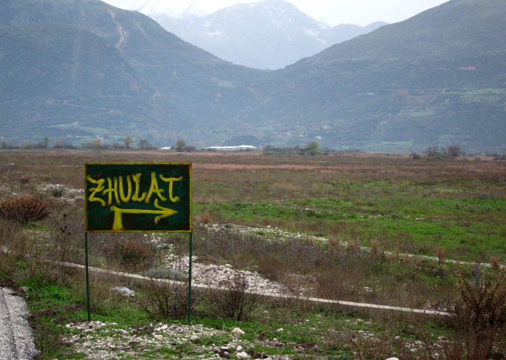
To Fushe Bardhe and Zhulat![]()
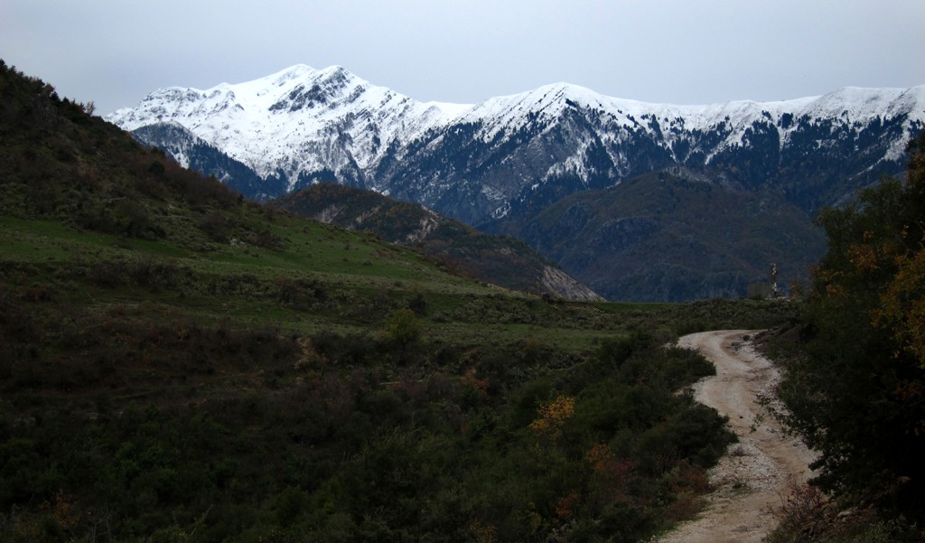
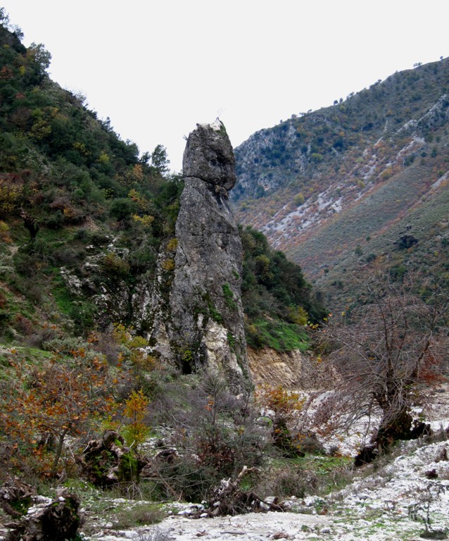
Summary: Kardhiq is the mountain west of Gjirokaster, and also the name of a village west of this mountain. Accordng to the latest maps, an area near the village of Kardhiq has been proclaimed a national park or nature reserve. We only went there in November, during a rather foggy and rainy day, but can confirm that it is an area worth to spend more time and explore.
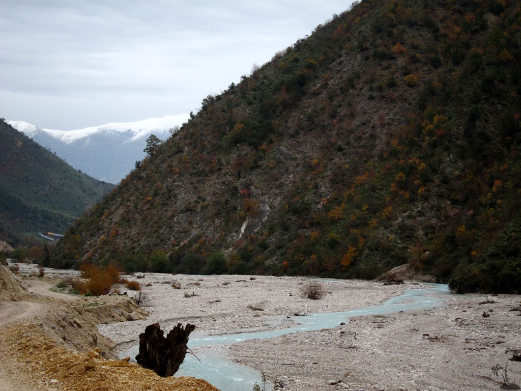
Kardhiq is also the name of the river that flows from the area, and the entrance to the valley is found at the bridge where the national highway connecting Gjirokaster and Tepelene crosses the river (Ura e Kardhiqit near Çepunë or Palokastër).
Interestingly, there once seem to have big plans to build a highway from here to Saranda, along some old trails that the shepherds used to commute between the cost and the Drinos valley. Alas, a big asphalt road was built, but only for about 7 kilometer, when the project was abandonned. There, the highway abruptly turns into a little used dirt road, that continues to winds its way to Fushe Bardhe where it ends. Even the highway, several meters wide, is not maintained, so don't just speed along but watch for rockfall and debris.
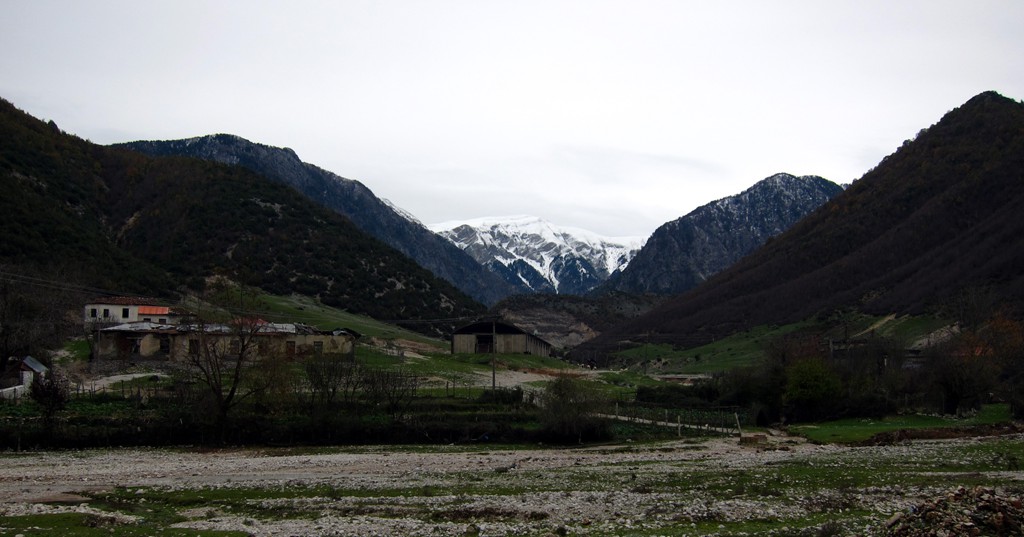
We didn't visit the village of Kardhiq itself, which has the remnants of an old castle.
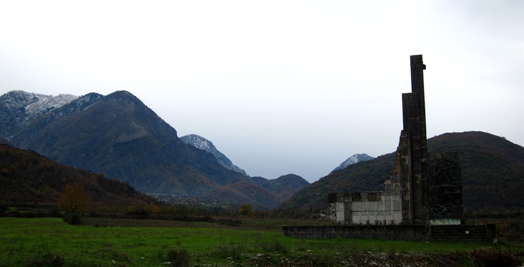
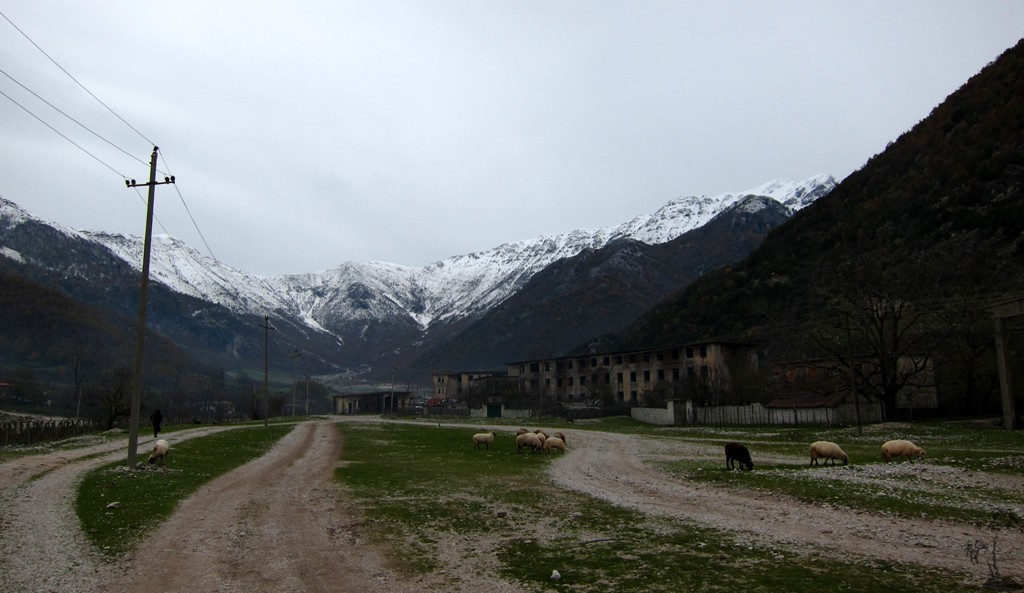
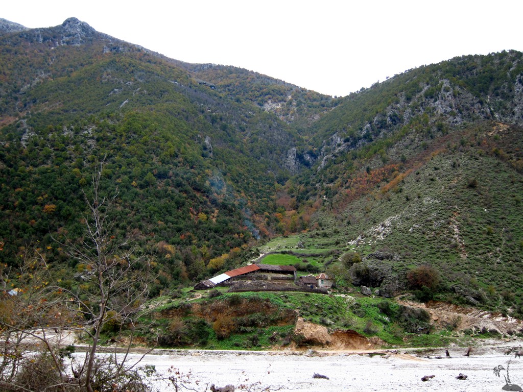
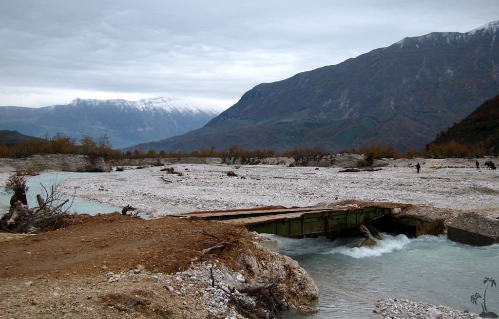
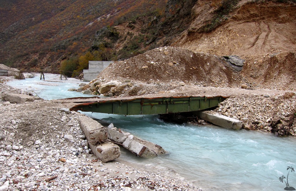
Fushe Bardhe is where the dirt track ends. As so often, the days of glory in Fushe Bardhe are long gone. Judging from the old abandonned central buildings and school, it must have been a place of significance. There used to be a road from Fushe Bardhe to Zhulat, which is no longer driveable. To reach Zhulat you have to return to the asphalt road, and turn into the river bed. A new local road is being built, but for the time being you have to negotiate your way along a track that fords the river, and crosses it two times via makeshift bridges. While this sounds all somewhat disorganized, it is an interesting drive, and one gets the feel of what it takes to connect remote villages to the rest of the world.
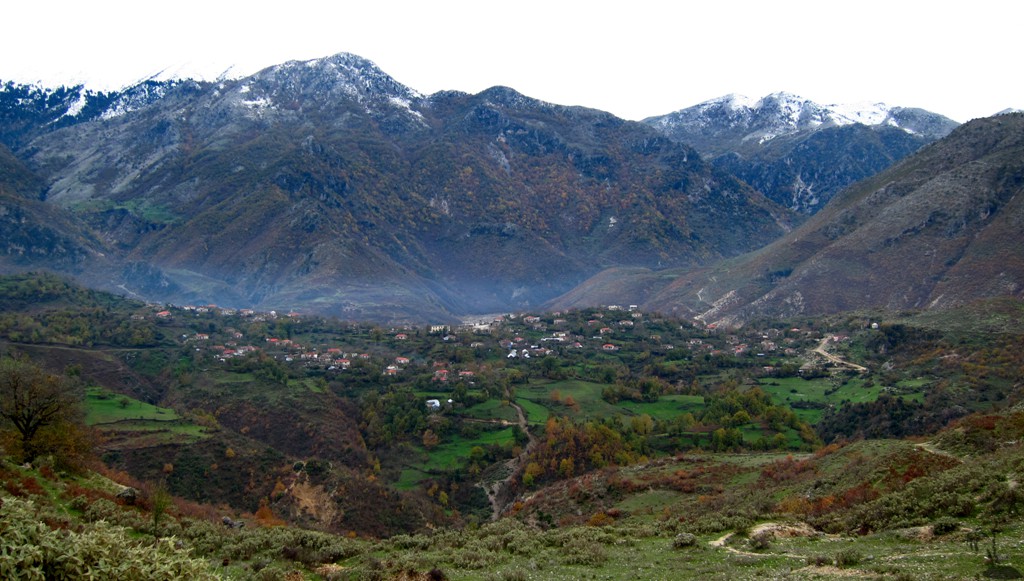
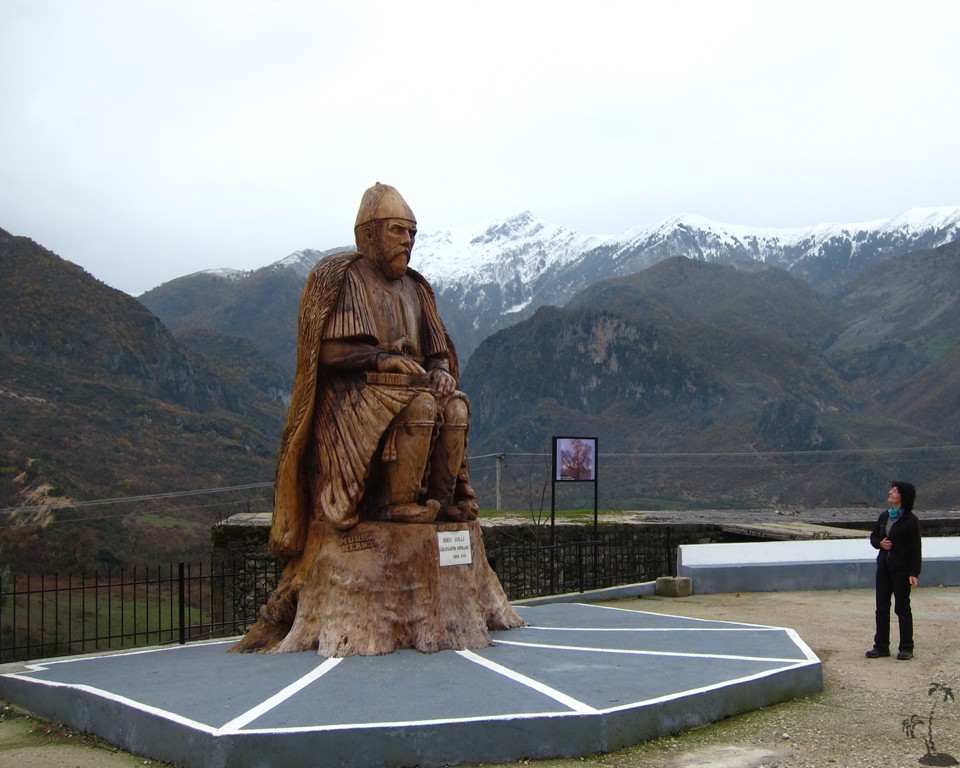
Zhulat itself is more lively than Fushe Bardhe. Near the municipal building, a dead tree (still visible with foliage on Google earth images from October 2011) has been transformed into a huge wooden statue of Idris Sulli, who helped to repell a Greek invasion 150 or so years ago - and was consequently honored bat the time of Prizren league, clearly some time before Albania declared its independence. We trust that international relationships have improved since.
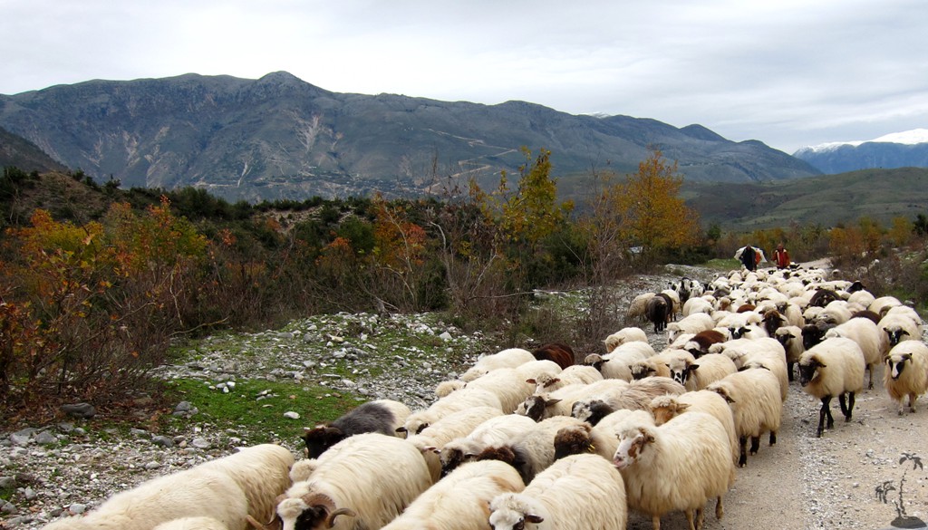
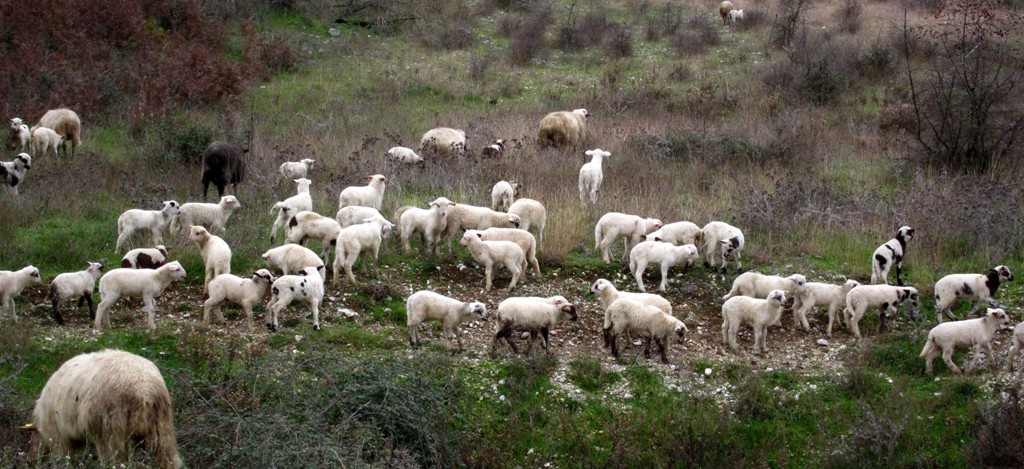
In November, we met several flocks of sheep and their shepherds, complete with pack horses, on their trek from the grazing areas in the more central mountains to their winter homes near the coast. We had learned earlier that - for instance - shepherds from Vlore district rent grazing land near Mali i Ostrovices (near Korca) during the summer season. The trek will take several days, and it was nice to see the pride and excitement of men and beast heading home through the maze of mountains and passes, unperturbed by the cold and rain.
The drive: This is a relatively short drive to two villages hidden in Kardhiq mountains.
| Maximum altitude: | 553 meter | ||||||||||||||||||||||
| Minimum altitude: | 196meter | ||||||||||||||||||||||
| Cumulative height: | 672 meter | ||||||||||||||||||||||
| Cumulative length: | 32.5 kilometer roundtrip | ||||||||||||||||||||||
Difficulty
| moderate |
Time:
|
2.5 hour |
Date of this record |
November 2013 |
Download GPS info: |
Fushe Bardhe and Zhulat |
|
| |
|
|
|
|
|
|
|
|
|
|
|
|
|
|
General location and approach: West of the Gjirokaster - Tepelene highway
Other Information: Some maps provide incorrecct information about this area. There is no road directly connecting Khardiq and Delvine or Saranda!
Google Earth: You may also view the trail in 3D by clicking "view in Google Earth" when on Wikiloc. You need to have Google Earth installed on your computer.