PALM TREE PRODUCTIONS
back to Albania site back to hikes and climbs back to Locations and Travel
Diretissima on Maja e Rrunjës![]()
![]()
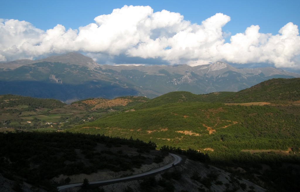
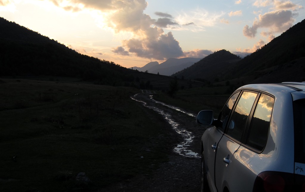
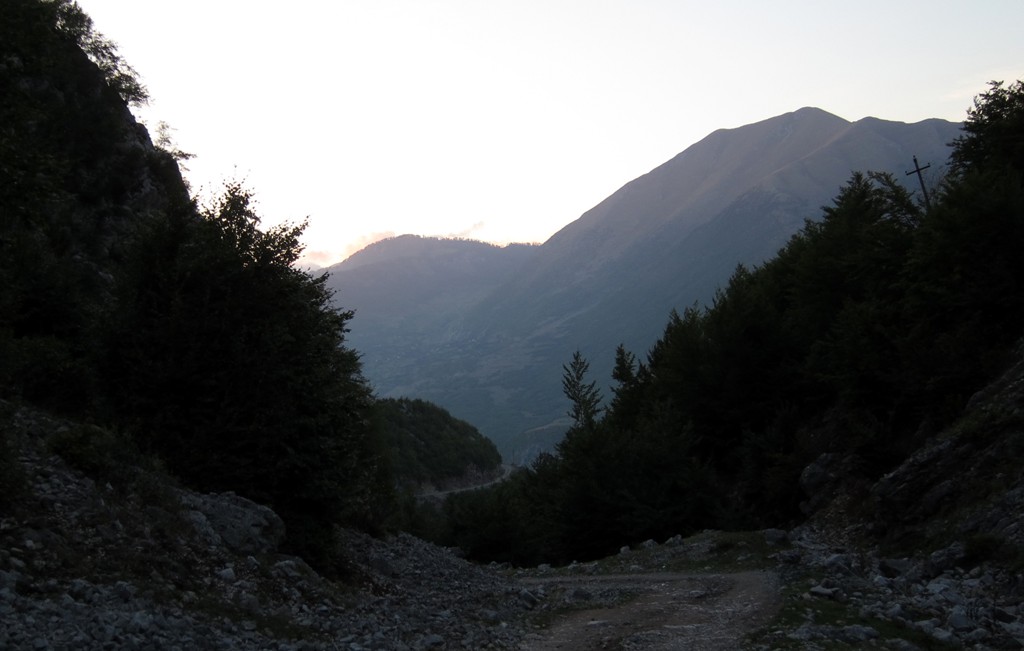
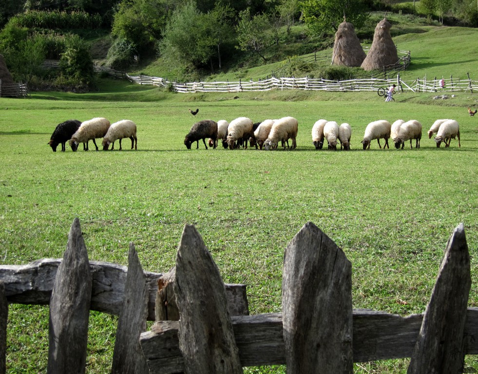
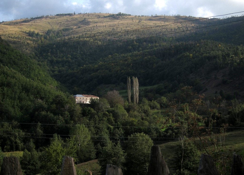
Summary: Maja e Rrunjës, with an official altitude of 2047 meters, is one of the top ranking view points in north-east Albania. We had it long on our mind, but the approach - while not particularly difficult - tends to be long and requires an overnight stay. Lukan is a somewhat remote commune, and camping is possible on the fringes of the village. We arrived late in the evening and pitched our tent at a café in Lunare (near the sawmill) just before the turn-off to Lukan.
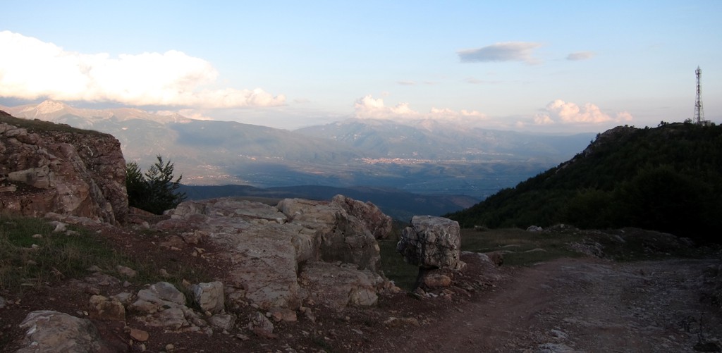
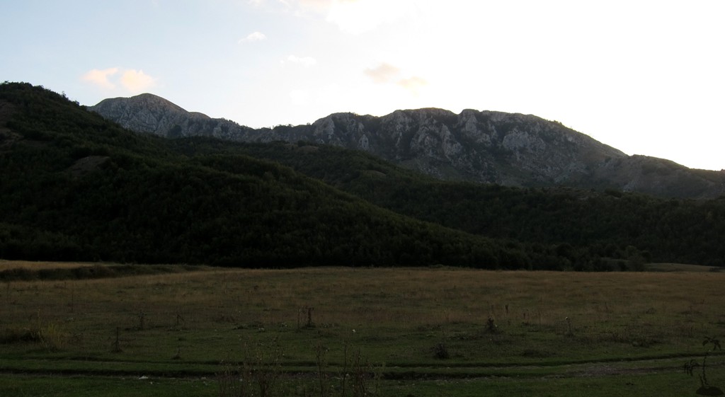
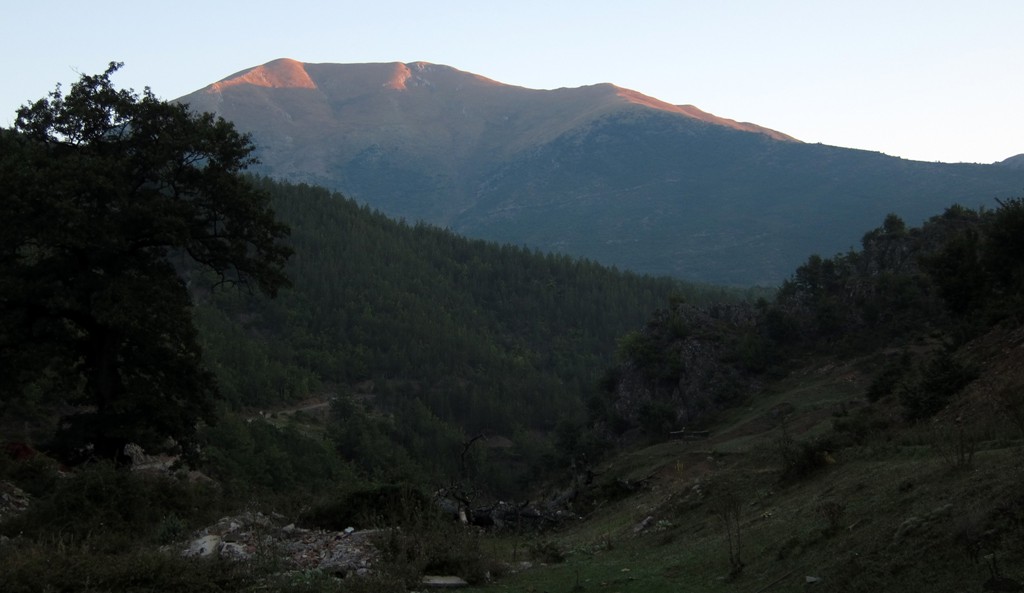
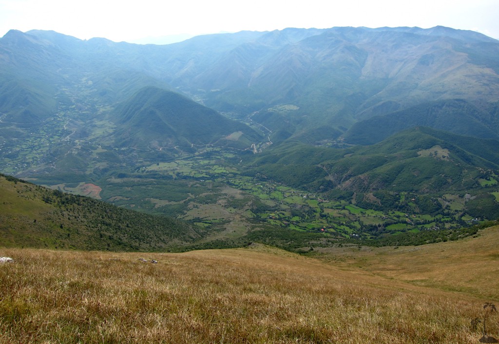
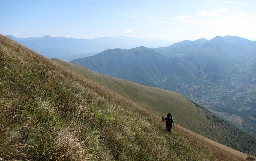
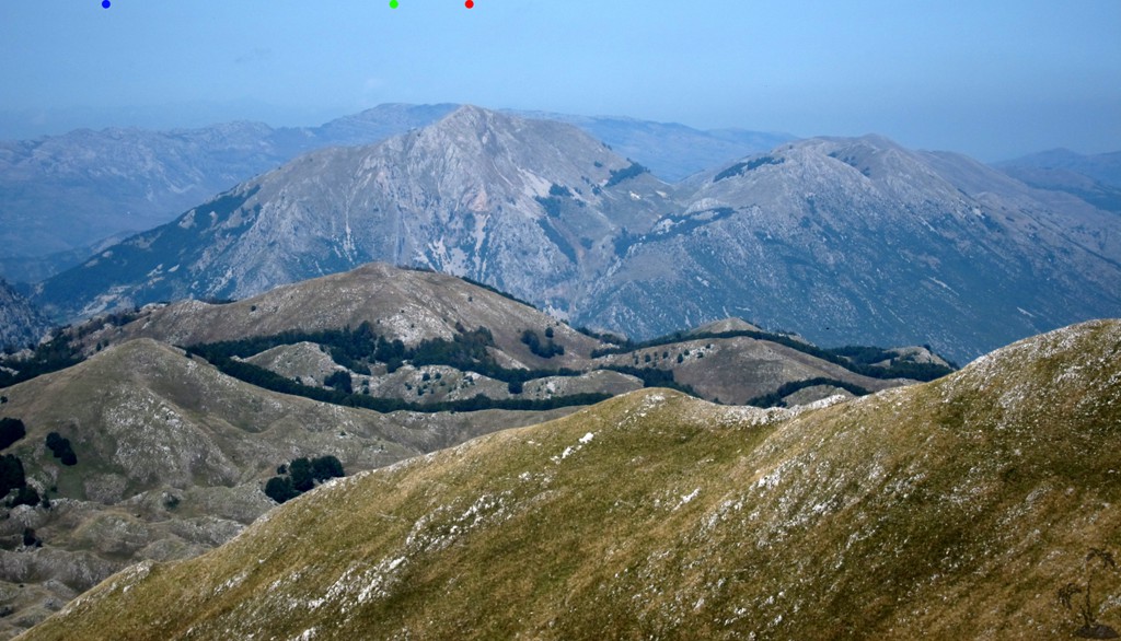
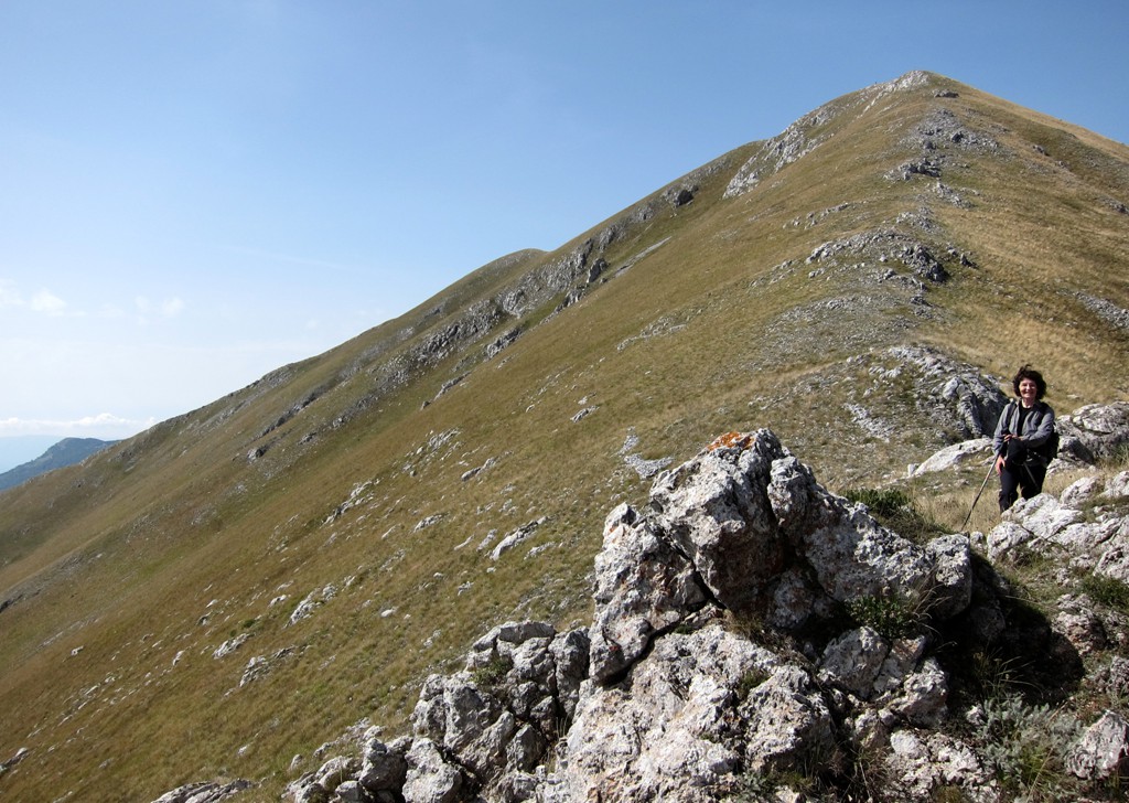
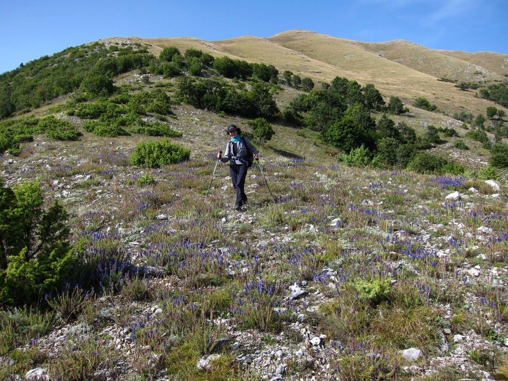
Because views to the summit slopes are unobstructed, it looks quite easy (and there are no technical difficulties whatsoever). But the altitude can be deceiving, and a hike to the summit remains a solid 1100 Meter climb on the rather steep grassy slopes. While we were lured into following a diretissima to the summit, the return along the south-east ridge was much more enjoyable, and we recommend it for the ascent. Indeed, at this end there are excellent trails up to end of the trees and shrubs.
The Hike: We took a figure-eight path, but as said above, it might be more enjoyable to follow the eastern ridgeline.
| Maximum altitude: | 2056 meter | ||||||||||||||||||||||
| Minimum altitude: | 953 meter | ||||||||||||||||||||||
| Cumulative height: | 1095 | ||||||||||||||||||||||
| Cumulative length: | 9.5 kilometer roundtrip | ||||||||||||||||||||||
Difficulty
| moderate |
Time:
|
8 hours |
Date of this record |
September 2014 |
Download GPS info: |
Rrunja |
|
| |
|
|
|
|
|
|
|
|
|
|
|
|
|
|
Drive to Lukan:
| Maximum altitude: | 1350 meter | ||||||||||||||||||||||
| Minimum altitude: | 536 meter | ||||||||||||||||||||||
| Cumulative height: | `082 meter | ||||||||||||||||||||||
| Cumulative length: | 33 kilometer | ||||||||||||||||||||||
Difficulty
| moderate |
Time:
|
2.5 hours |
Date of this record |
September 2014 |
Download GPS info: |
To Lukan |
|
| |
|
|
|
|
|
|
|
|
|
|
|
|
|
|
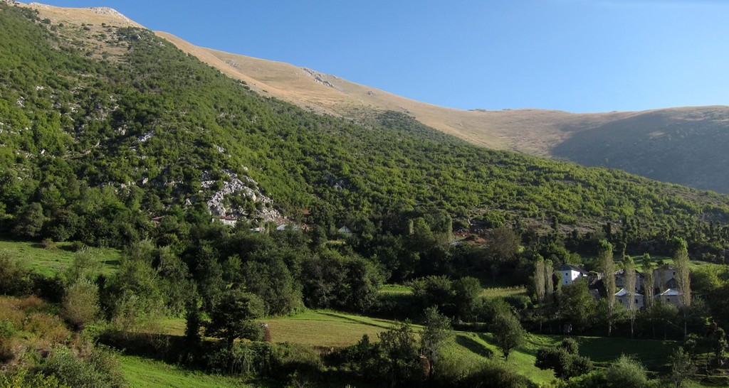
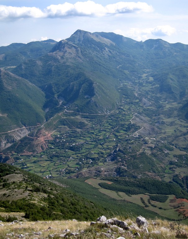
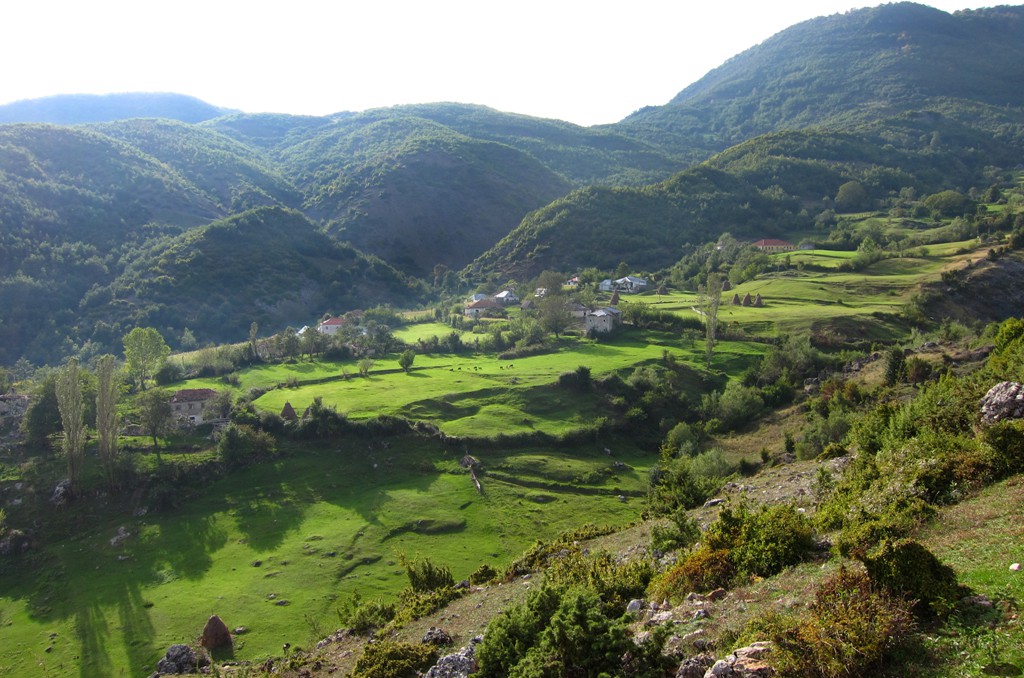
General location and approach: Lukan can
be reached either from Peshkopi via Muhur or from
Burrel via Qafe Murre
(which is the fasted way from Tirana but not the easiest).
Another interesting alternative is described here - starting
from Shupenze on the road connecting Bulquize and Peshkopi.
The trail is generally in good condition. After rain, some
places can become very muddy. The descend from the pass
(about 1300 meter altitude) down to Lukan is very
interesting, but not difficult.
It takes about two to two-and-half hours for the described
track (we spent the night at the sawmill before the turn off
to Lukan)
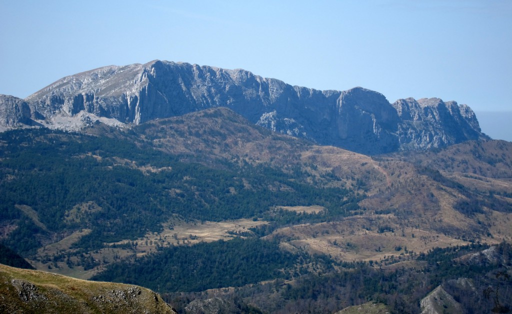
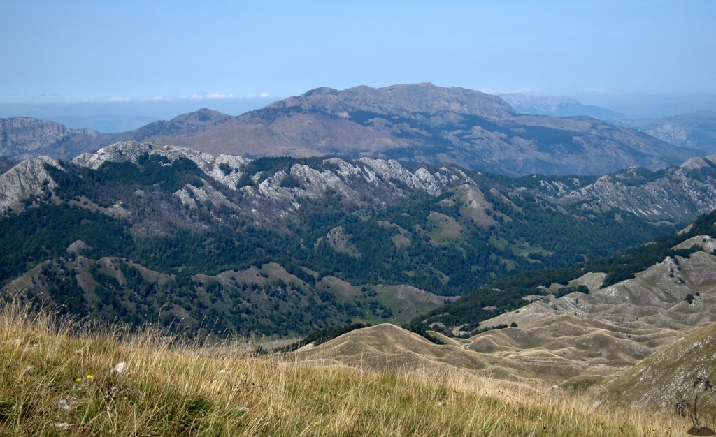
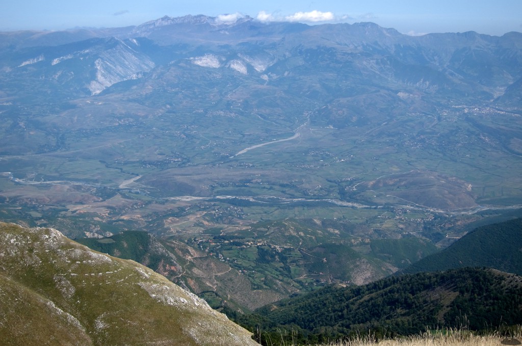
Other Information: The views from the summit are outstanding in all directions - including to Korab mountain, Mali Dejes and many more
Google Earth: You may also view the trail in 3D by clicking "view in Google Earth" when on Wikiloc. You need to have Google Earth installed on your computer.