PALM TREE PRODUCTIONS
back to Albania site back to hikes and climbs back to Locations and Travel
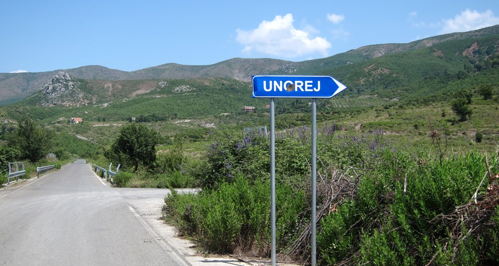
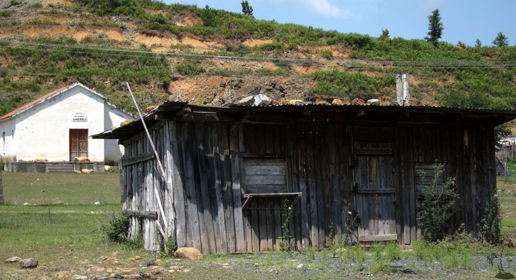
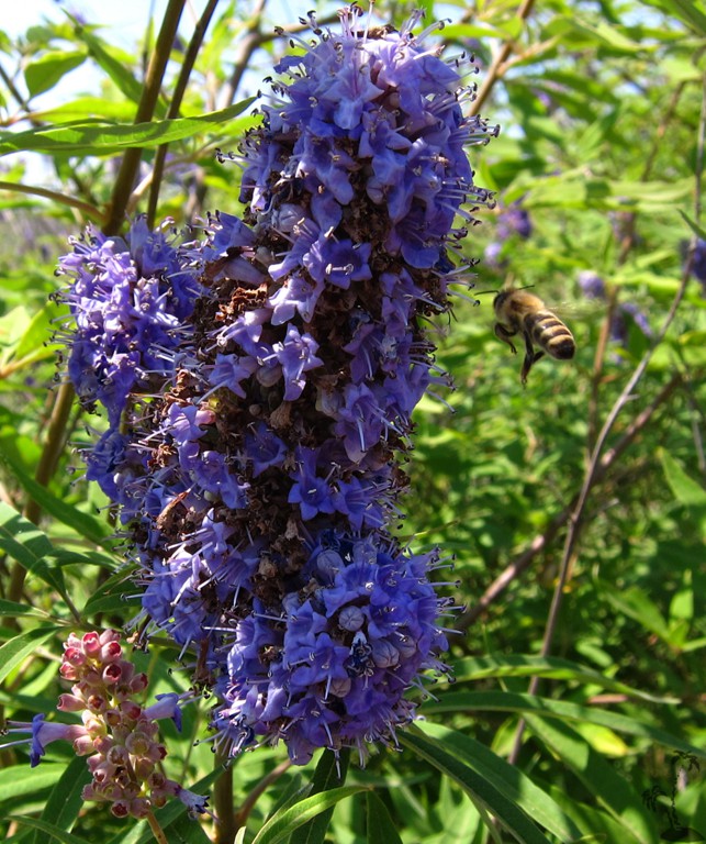
The Ungrej Variant![]()
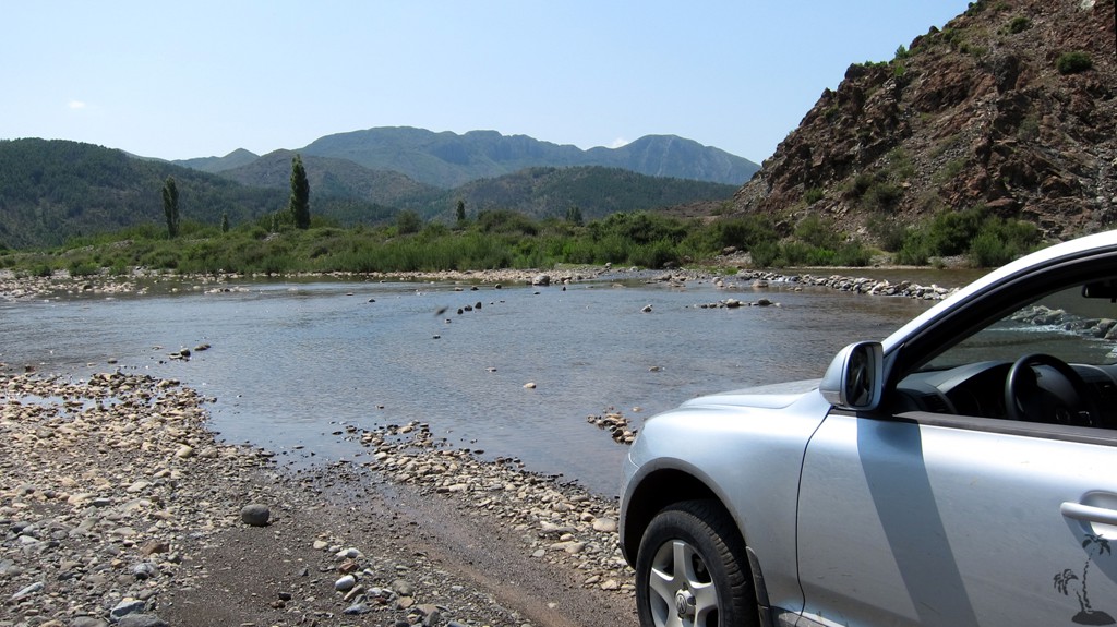
Summary: This is a variation of our recent Bukmirë-to-Mnelë drive. Rather than beginning near Rreshen, this drive starts from the village of Kallumet, near Lezha. It climbs up the northern extension of the Veles ridge, and then descends to the village of Ungrej. The road up to the pass is being upgraded, and will possibly be asphalted in the near future.
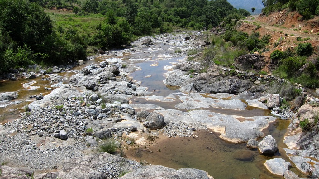
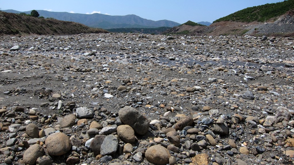
After Ungrej, the trail joins the Bukmirë-Kalivac-Mnelë road for a while. It leaves it after 4 kilometers to follow a more easterly route on a new track built for the construction of a water pipeline. The track can be rough, requiring several fords through smaller rivers (depending on the season). It eventually joins the Bukmirë-Mnelë road.
For those wishing to take it easy, we suggest to go from Lezha to Ungrej using this trail. Once linked up with the Bukmirë - Mnelë track, stay on that track.
| MMaximum altitude: | 565 meters | ||||||||||||||||||||||
| Minimum altitude:/strong> | 228 meter | ||||||||||||||||||||||
| Cumulative height: | 650 meter | ||||||||||||||||||||||
| Cumulative length: | 37 kilometers | ||||||||||||||||||||||
Difficulty
/span>
| moderate |
TTime:
|
2 hours |
Date of this record |
August 2014 |
Download GPS info: |
Ungrej |
|
| |
|
|
|
|
|
|
|
|
|
|
|
|
|
|
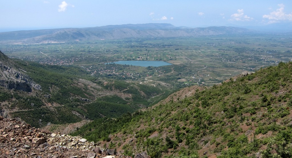
General location: East of the Lezha - Shkoder highway, behind the mountains.
Google Earth: You may also view the trail in 3D by clicking "view in Google Earth" when on Wikiloc. You need to have Google Earth installed on your computer.