PALM TREE PRODUCTIONS
back to Albania site back to hikes and climbs back to Locations and Travel
Mali i Veles - Three Times Lucky![]()
![]()
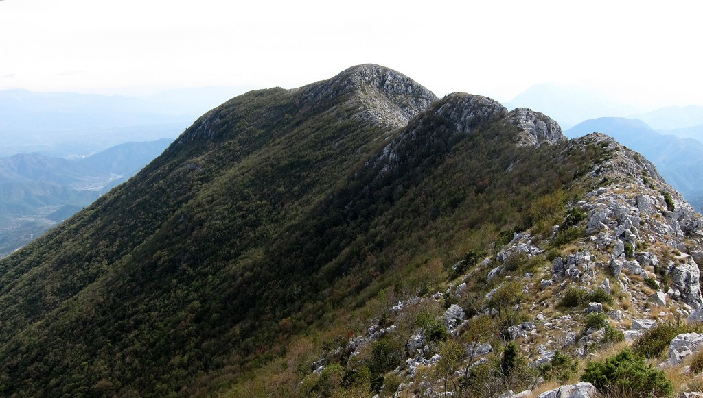
Summary: We had climbed the north summit of Veles a few years ago from Rraboshtë, and its main (southern) summit in 2013 from the village of Veles. The northern and the main summit are separated by an interesting ridge, about one kilometer long. For traversing this ridge, your return hike to from where you started becomes quite long, as both from Rraboshte and also from Veles you start very close at sea level.
But from our earlier inspections, this ridge is too good not to be traveled. Our solution therefore was to to find an approach to the village of Vele-Vendi, half way up the mountain, and connect parts of our earlier routes to a circular hike.
This becomes a racy alternative to the two other out-and-back options. The climb takes some of the challenging bits of the other hikes, combines them with a hike across an airy ridge with a very alpine feeling, and returns via an abandoned stan to the village of Vele-Vendi, which is so near to Lezhe and still so far. The downside is that you have to reach Vele-Vendi first, which requires a 4WD or motorbike.
There are only 15 or so families still living in Vele-Vendi. A teacher comes every day by motorbike from Lezha, and teaches all children he can find, regardless of their age, in the white-washed school house opposite the church.
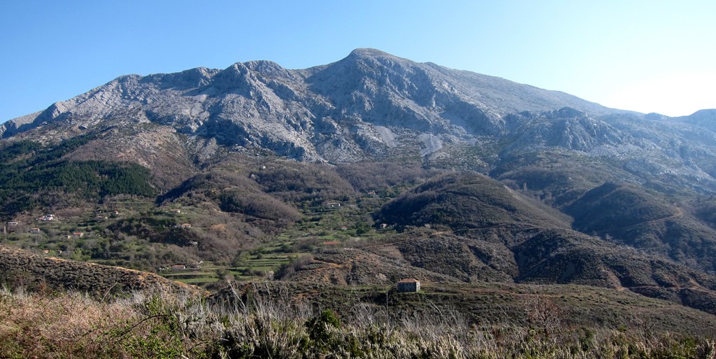
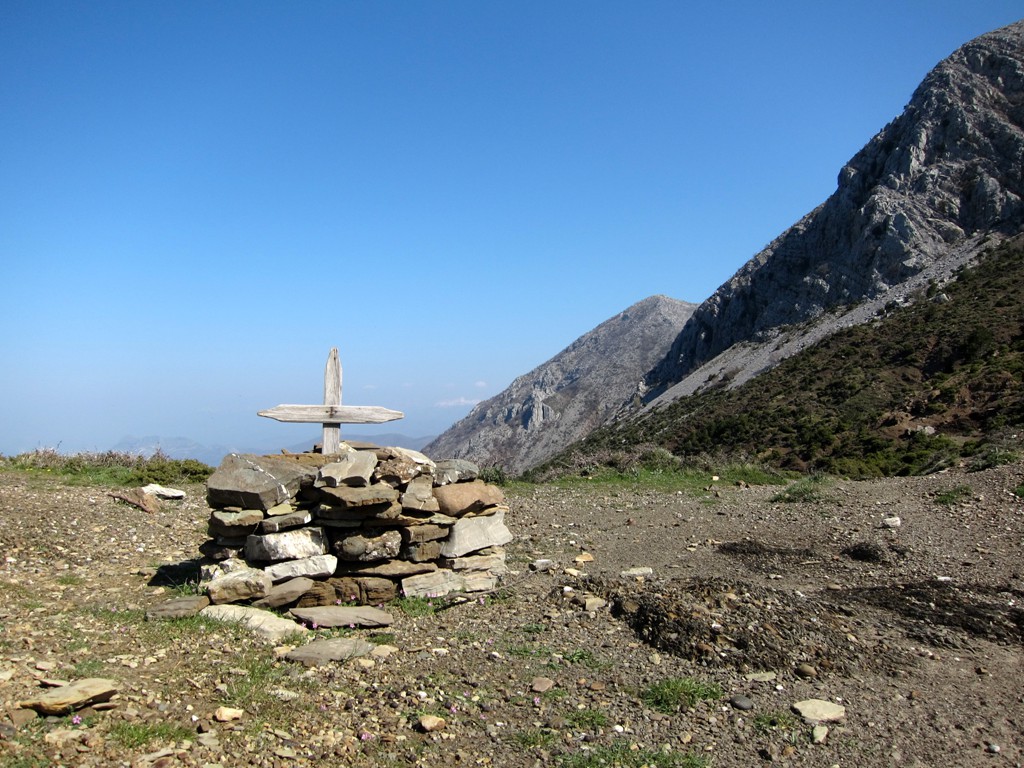
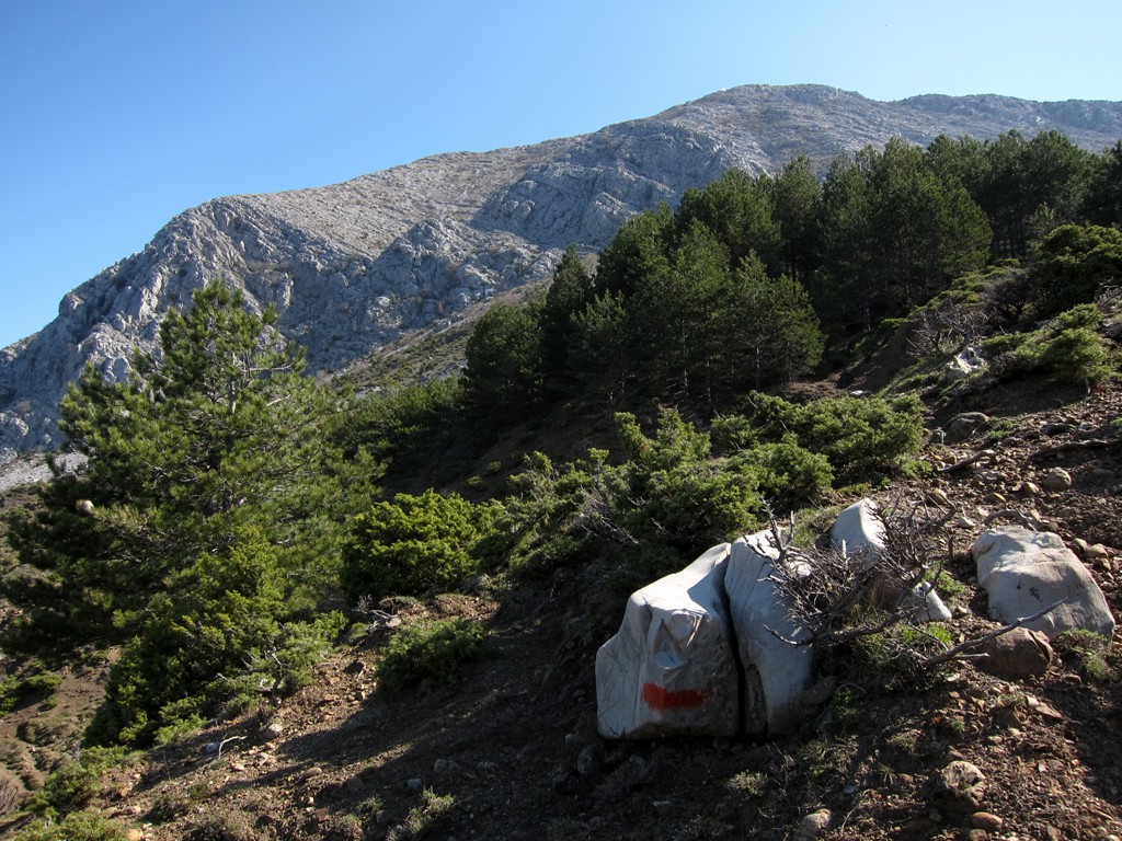
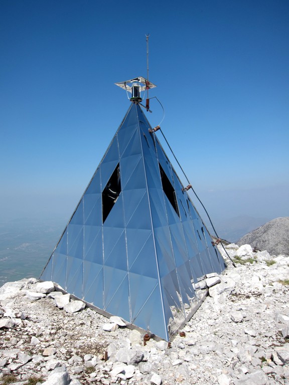
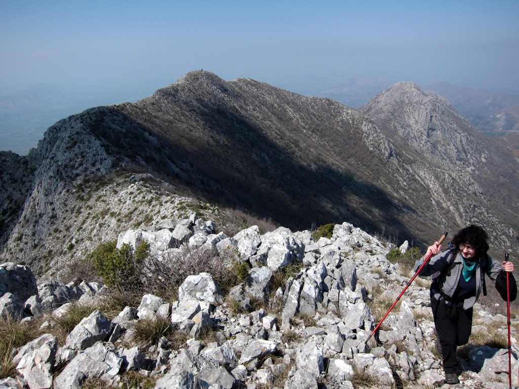
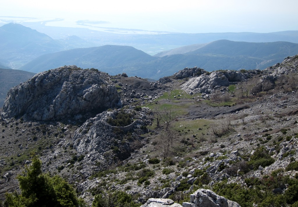
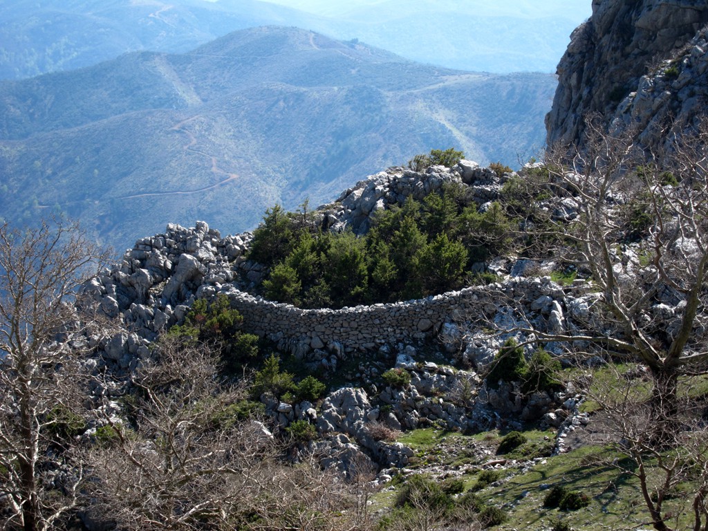
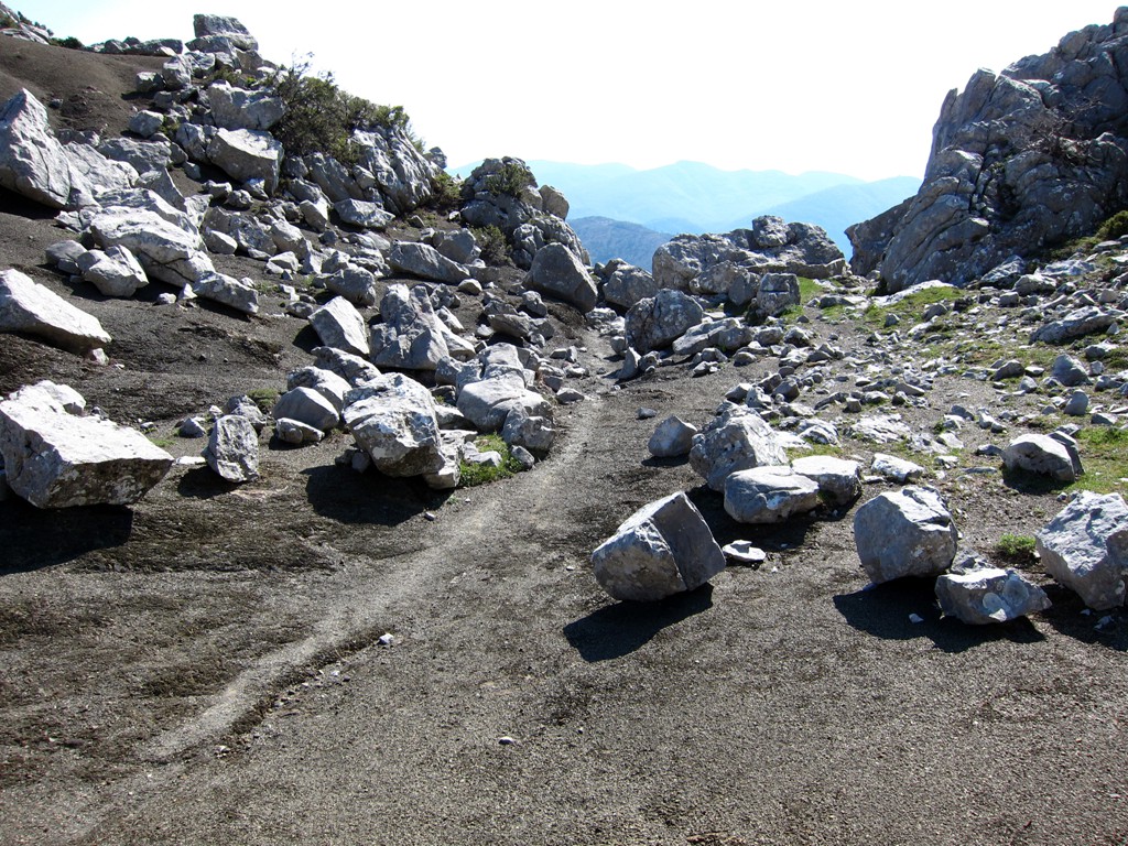
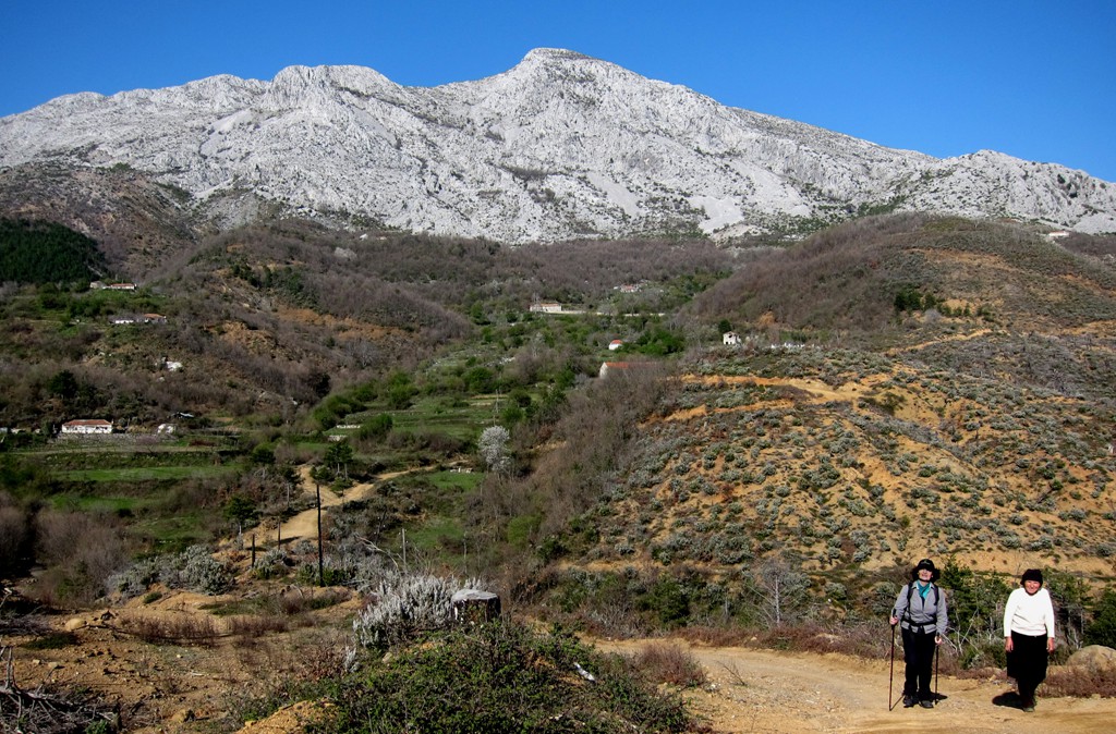
The Hike: The hike first follows a disused logging road to one of the main ridges of Veles mountain. At waypoint 02-Pass, you meet the trail coming from Rraboshtë. From here, there are a few trailmarkings, but not for too long. The trail passes below a somewhat triangular rock face into the bowl, a bowl-shaped part of the mountain with ledges that facilitate the climb up to the ridge leading to the weatherstation. For many hikers and worshippers, this is the objective (there is a Madonna in the stainless steel pyramid of the weatherstation, and the people living around the mountain do care more for her than for the weather recordings).
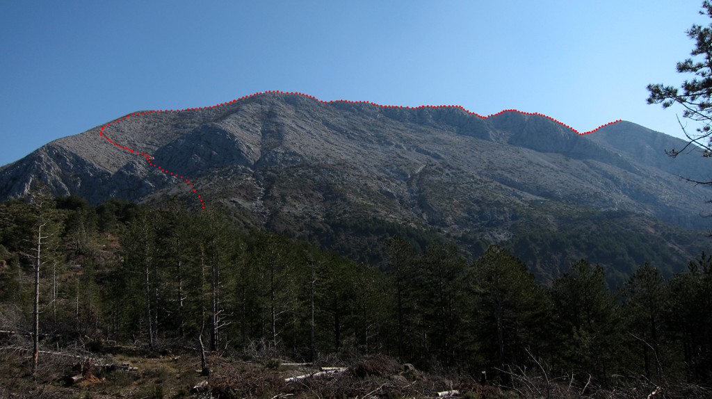
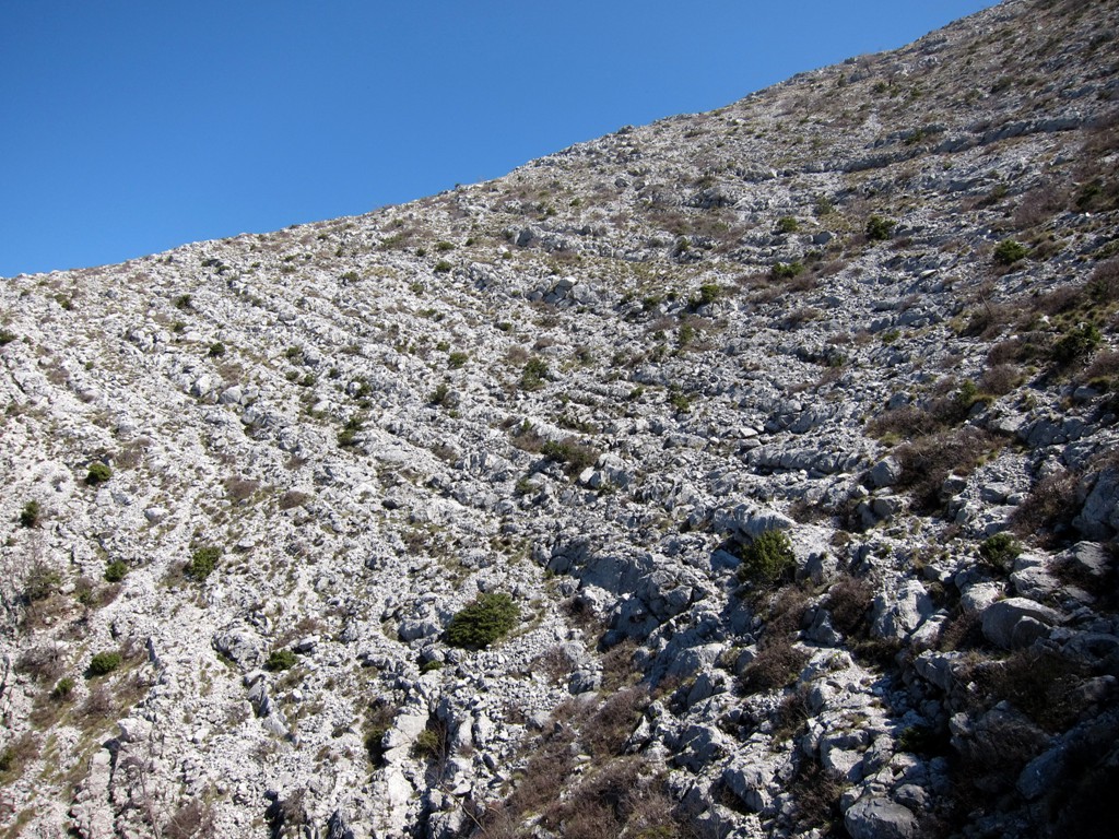
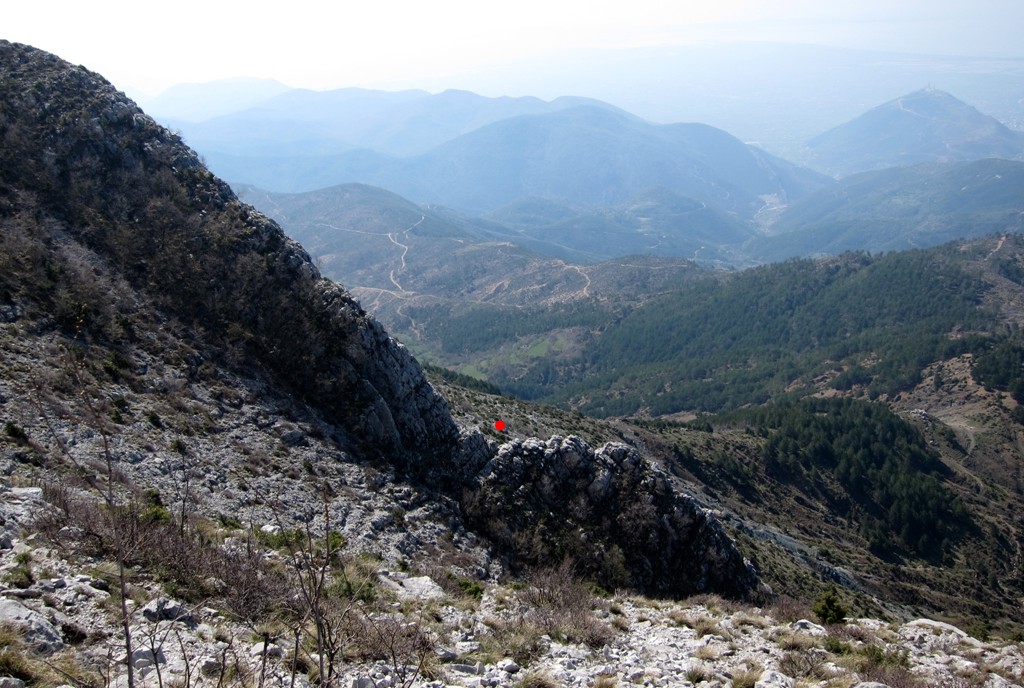
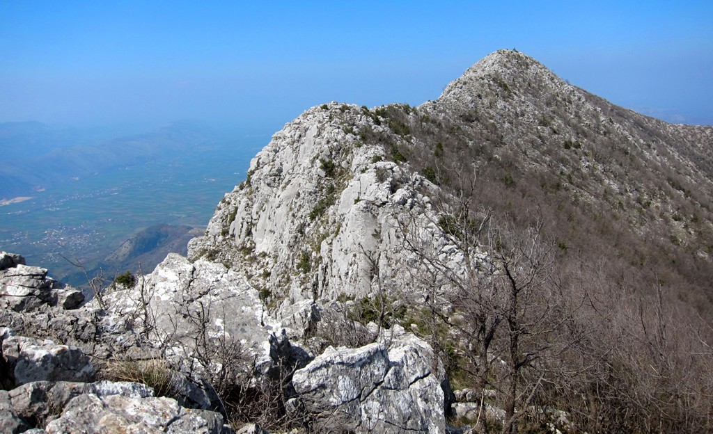
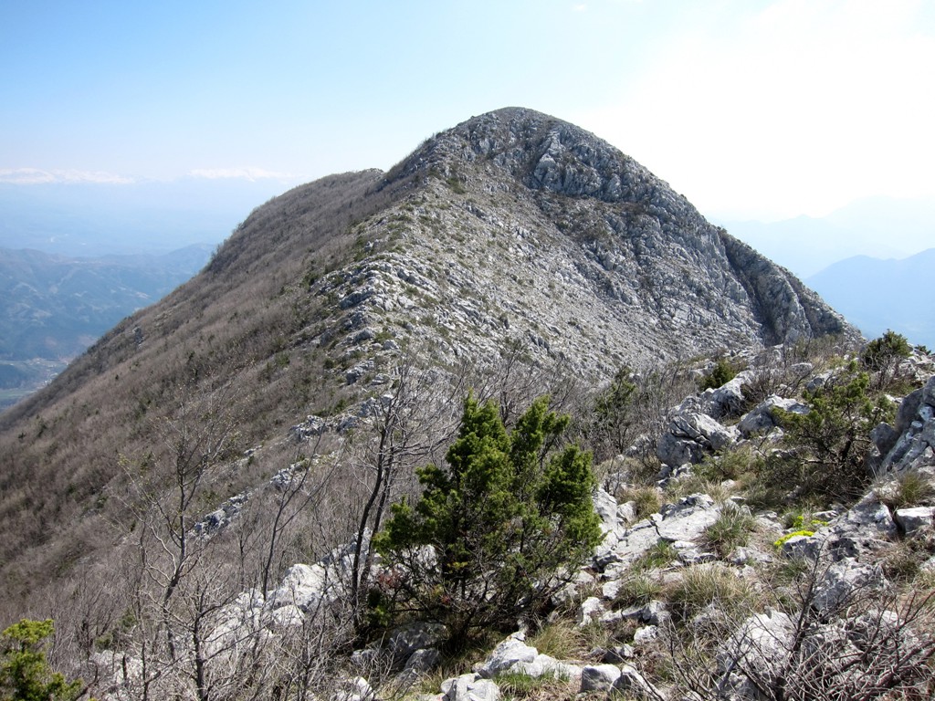
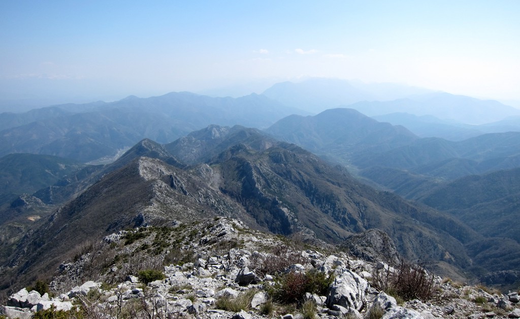
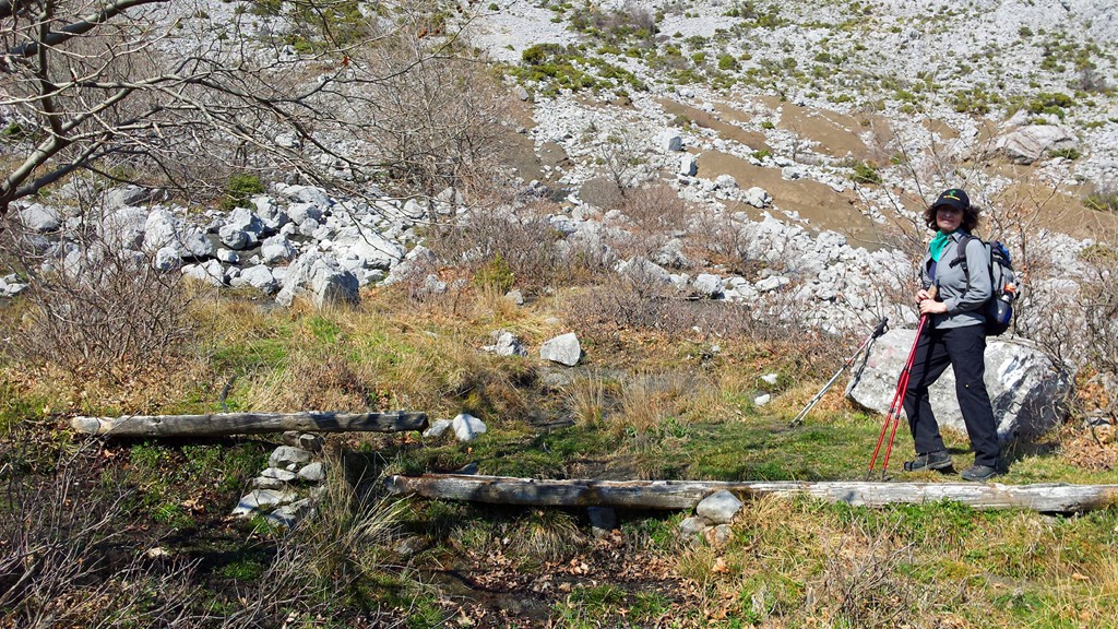
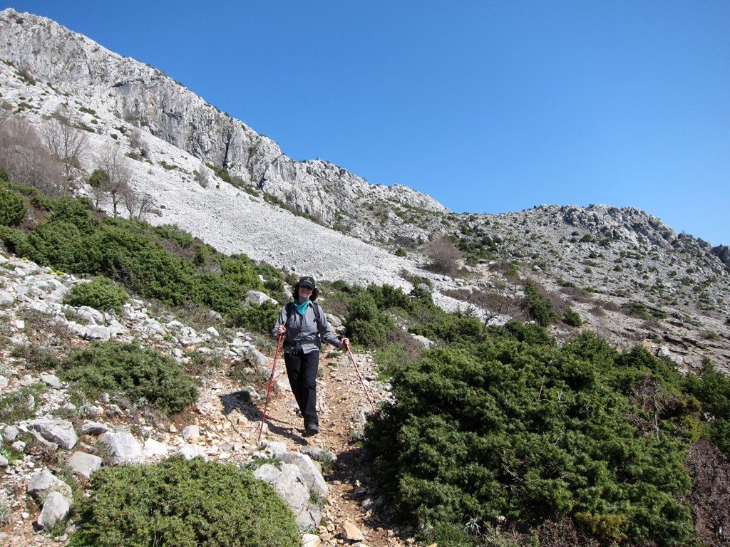
If you don't find the view of the ridge to the main summit too intimidating, continue the hike. Always stay on top of the ridge. The most difficult part of the hike is near the waypoint 05-Crux, where a rocky part of the ridge has to be managed on its western (towards the sea) side. It is easy scrambling, for only a few meters. Once descending from the man summit, do not miss the turn off to the abandoned stan, on the west side of the ridge. If you miss our waypoint, continue a few hundred meters until you reach a metal cross. Turn right to the abandoned stan here.
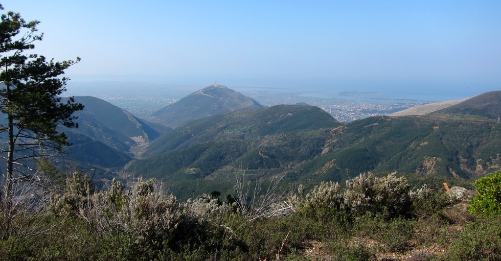
The stan sits on a little plateau, with water, high above Vele-Vendi village. A sort of staircase leads down the escarpment and on to a path towards the village. From there, presumably several paths will take you back to the car - an option that we did not take is to turn left at waypoint 10.
| Maximum altitude: | 1772 meter | ||||||||||||||||||||||
| Minimum altitude: | 493 meter | ||||||||||||||||||||||
| Cumulative height: | 757 meter | ||||||||||||||||||||||
| Cumulative length: | 9.1 kilometer | ||||||||||||||||||||||
Difficulty
| moderate |
Time:
|
6.5 hours |
Date of this record |
March 2014 |
Download GPS info: |
Veles Traverse |
|
| |
|
|
|
|
|
|
|
|
|
|
|
|
|
|
Drive to the Trailhead near Vele-Vendi: You need a 4WD vehicle. There is no furgon going to Vele-Vendi. Especially in the upper parts of the track, some erosion has set in. At two hairpins, you may have to reverse forth and back to make the turn. This being said, it is a relatively short drive that takes you high above Lezha - and when you are there you will be glad to start hiking!
| Maximum altitude: | 524 meter | ||||||||||||||||||||||
| Minimum altitude: | 14 meter | ||||||||||||||||||||||
| Cumulative height: | 518 meter | ||||||||||||||||||||||
| Cumulative length: | 7.8 kilometer | ||||||||||||||||||||||
Difficulty
| moderate |
Time:
|
0.5 hours |
Date of this record |
March 2014 |
Download GPS info: |
Vele-Vendi |
|
| |
|
|
|
|
|
|
|
|
|
|
|
|
|
|
General location and approach: Near Lezhe.
Other Information: Veles summit is about 1170 Meter, and can be hot and and dry in summer. Spring, fall and winter a good times to hike Veles. Take plenty of water.

Google Earth: You may also view the trail in 3D by clicking "view in Google Earth" when on Wikiloc. You need to have Google Earth installed on your computer.