PALM TREE PRODUCTIONS
back to Albania site back to hikes and climbs back to Locations and Travel
The Zhllima Connection![]()
Summary: Bored in Tirana? Nothing to do? Frasher too far? The beach too crowded? Bad weather in the highlands, but sun in Tirana?
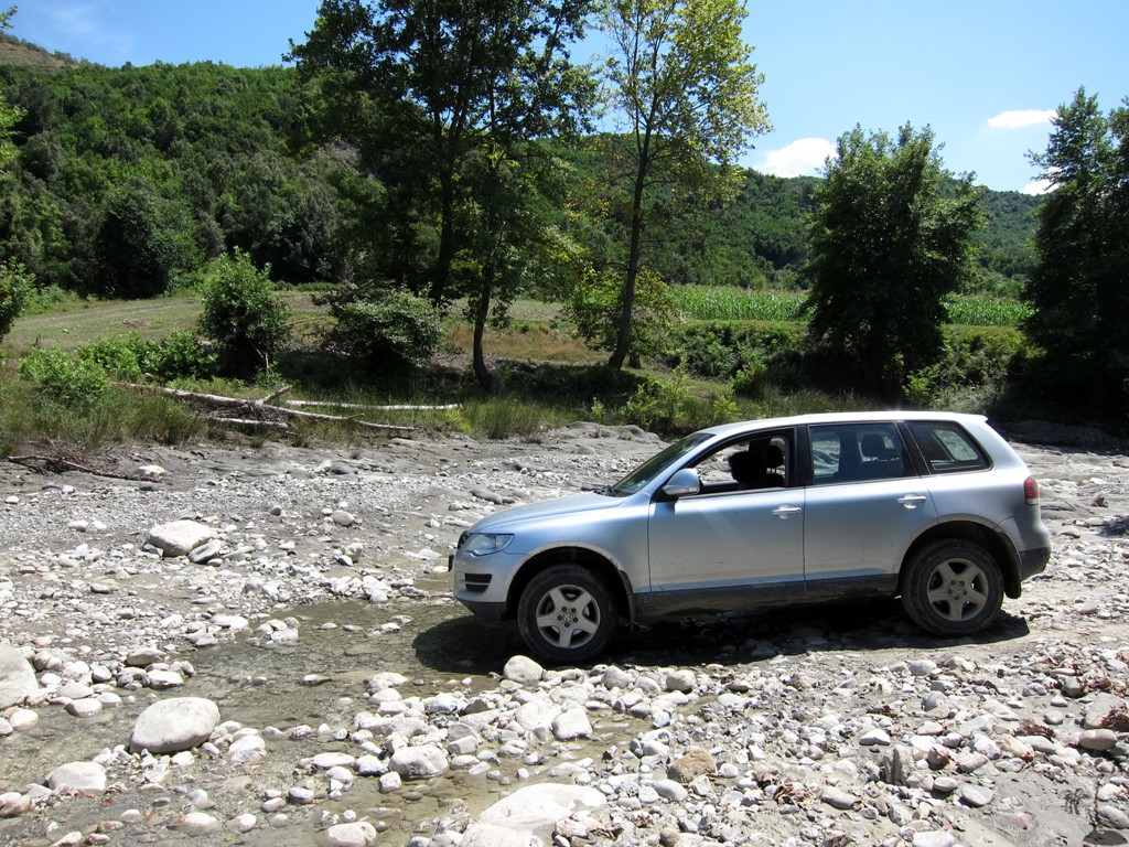
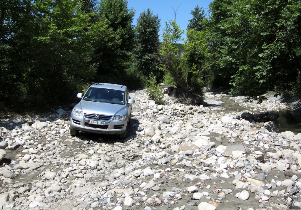
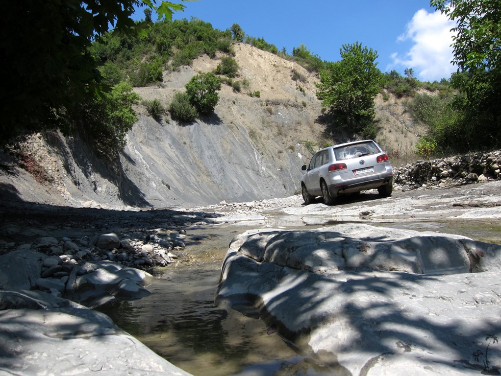
Here is a short (about one hour) 4WD drive with an interesting 2 km drive through the river bed of the Zhllima River.
The drive starts on the old Tirana-Elbasan road, at the turn-off to Baldushk. Follow the Baldushk road for a little more than 14 kilometer, until the end of the asphalt.
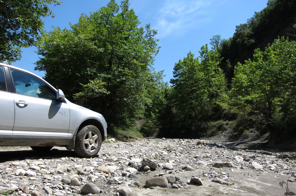
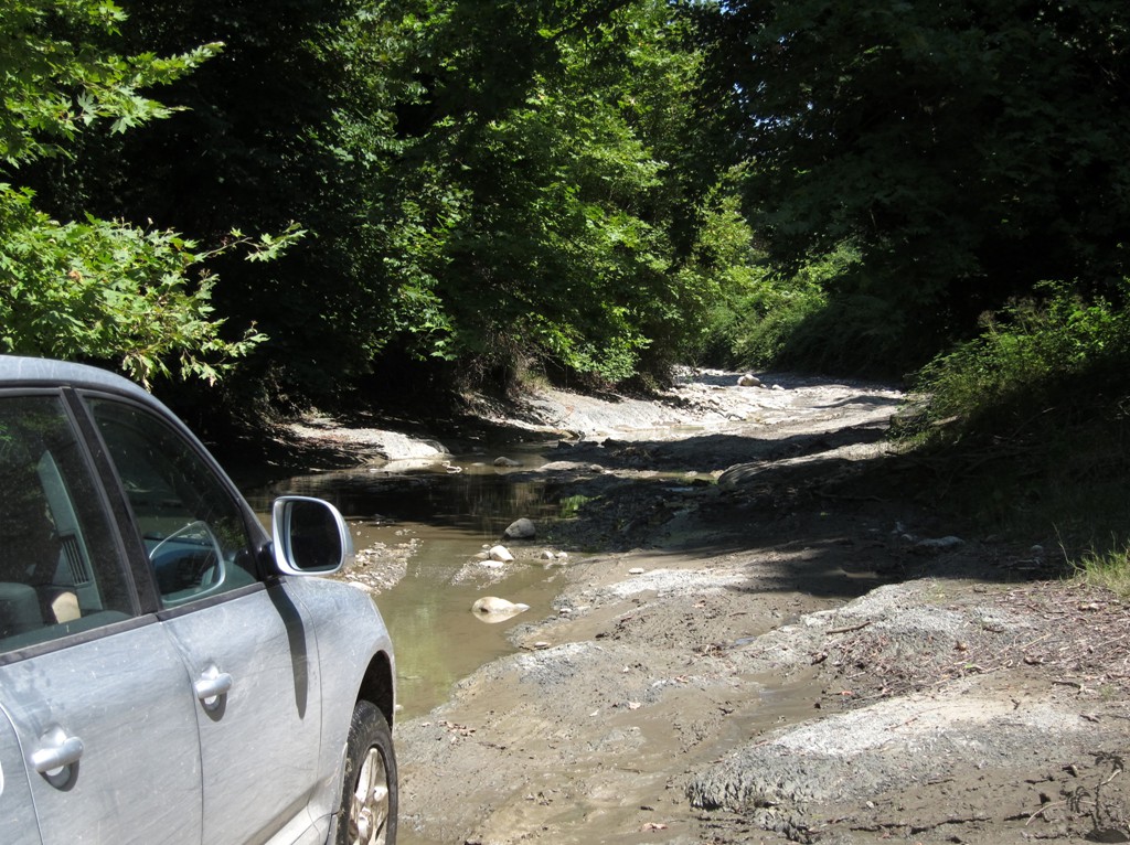
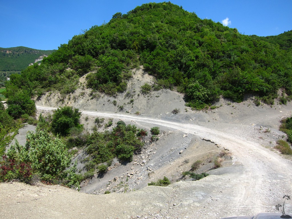
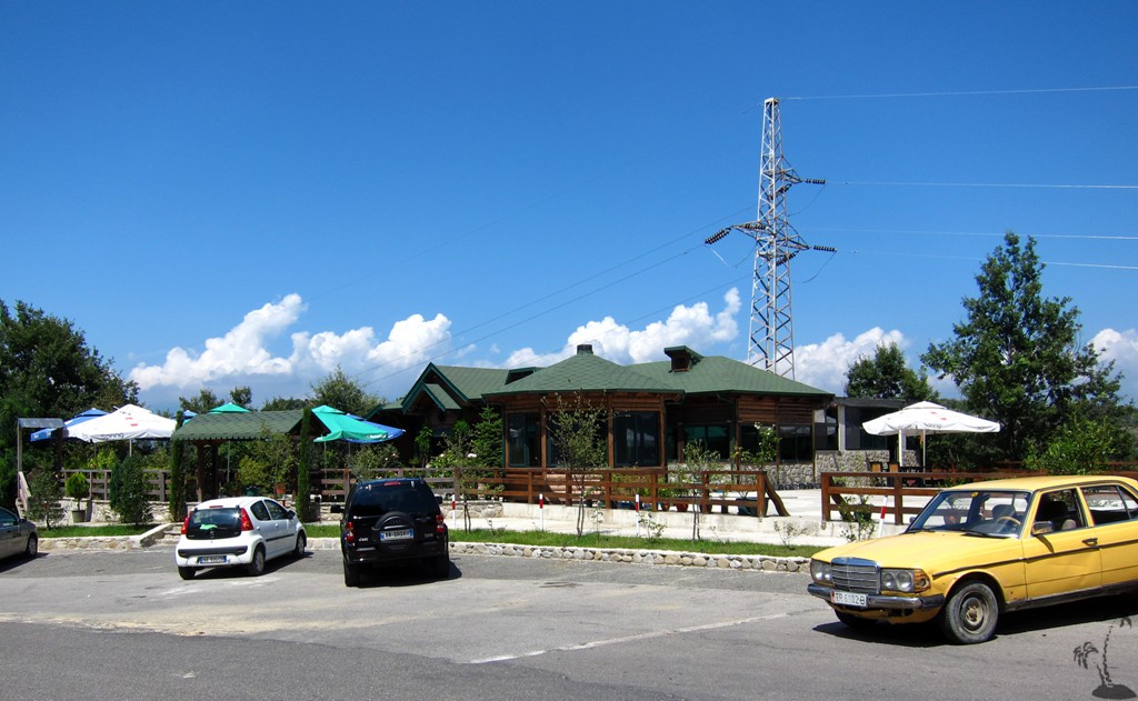
Follow a bumpy dirt track for about 4.7 kilometer, where it fords the Zhllima River for the first time. For the next 1.8 kilometer, traces of a track follow the river bed, or in and out of it. For the remaining 6 kilometer, follow a good dirt road to to the old Tirana - Elbasan asphalt road, which has become very quiet after the opening of the Elbasan tunnel. On the asphalt, turn left for hundred meter or so to arrive at Kasemi restaurant. Order your well-deserved lamb meat from the spit.
In summer, during a dry spell, the track is not very difficult. This may change dramatically in other seasons and after rains. Pick your challenge.
| Maximum altitude: | 657 meters | ||||||||||||||||||||||
| Minimum altitude: | 73 meter | ||||||||||||||||||||||
| Cumulative height: | 652 meter | ||||||||||||||||||||||
| Cumulative length: | 27 kilometers | ||||||||||||||||||||||
Difficulty
| moderate |
Time:
|
1.5 hours |
Date of this record |
August 2014 |
Download GPS info: |
Zhllima Connection |
|
| |
|
|
|
|
|
|
|
|
|
|
|
|
|
|
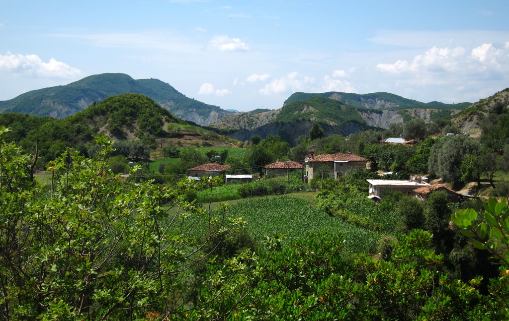
General location: The start of the drive is a few kilometers or minutes after the TEG shopping mall, on the old Tirana-Elbasan road, before you reach Mullet or Petrela. It takes about half an hour from the Kasemi restaurant back to the TEG shopping mall.
This is also the way to the trailhead for hiking Shen Marie/a>.
GPS and trailmaps:
The map and trailinformation is generated by
![]() , based
on GPS information collected from the actual hike. Waypoints
can be downloaded to a GPS device from Wikiloc. If necessary, use
GPSBabel to
convert GPS data to different formats. For more
hike descriptions by Palmtreetreeproduction, browse this
website or visit Wikiloc
and search for "Palmtreeproduction". You may also find
nearby trails from other authors.
, based
on GPS information collected from the actual hike. Waypoints
can be downloaded to a GPS device from Wikiloc. If necessary, use
GPSBabel to
convert GPS data to different formats. For more
hike descriptions by Palmtreetreeproduction, browse this
website or visit Wikiloc
and search for "Palmtreeproduction". You may also find
nearby trails from other authors.
Google Earth: You may also view the trail in 3D by clicking "view in Google Earth" when on Wikiloc. You need to have Google Earth installed on your computer.