PALM TREE PRODUCTIONS
back to Albania site back to hikes and climbs back to Locations and Travel
Mali i Gribes![]()
![]() and the Mystic Stan
and the Mystic Stan
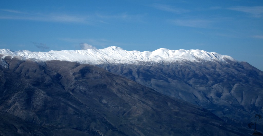
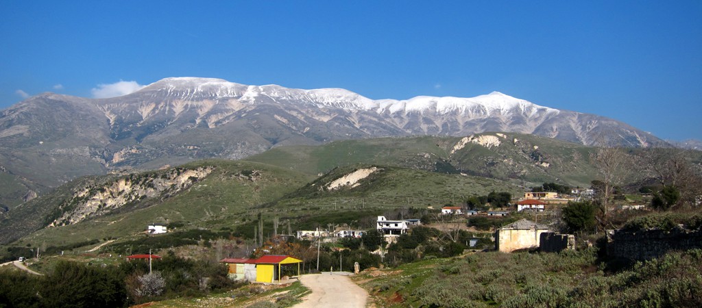
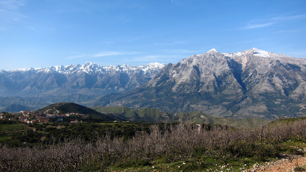
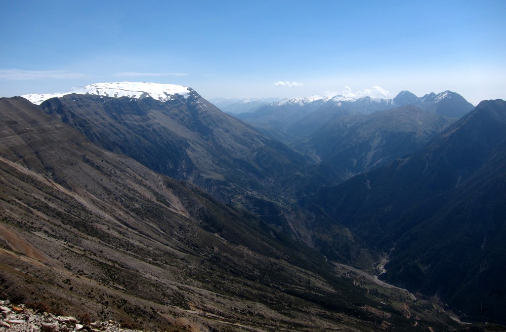
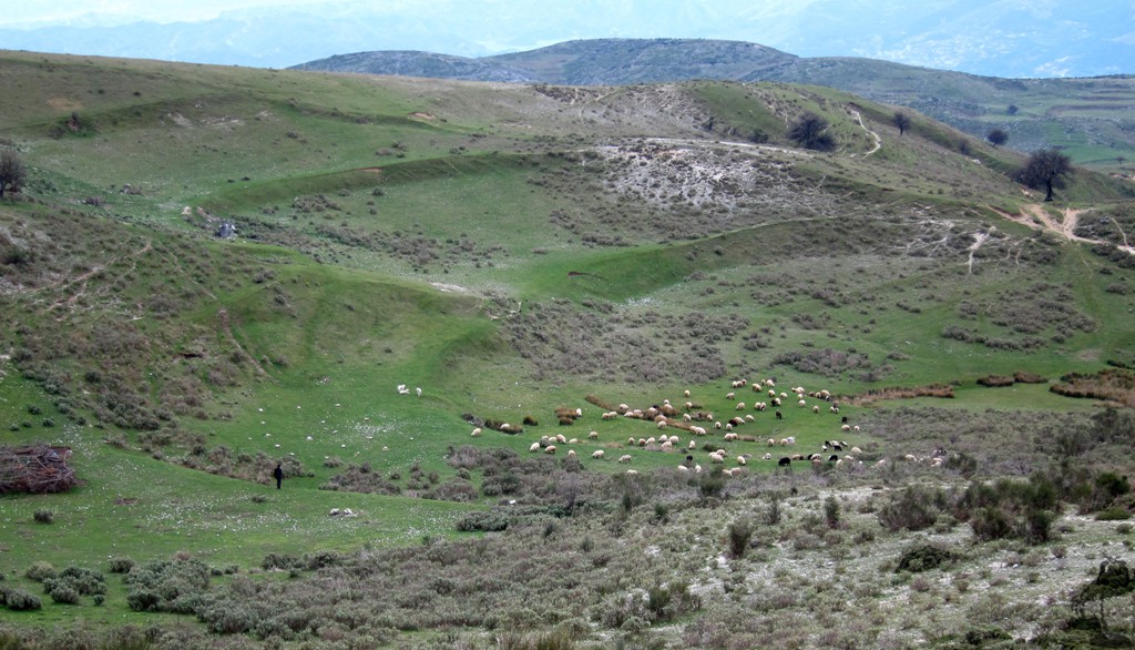
Summary: Mali i Gribes is the name of the bulky range that sits at the northwest corner of the southern Albanian mountains. It is in clear view when driving the new highway from Vlora or Fier towards Tepelene. It rises impressively over the Vjosa valley. In summer, its vast expanse is home to countless herds of sheep and their dogs.
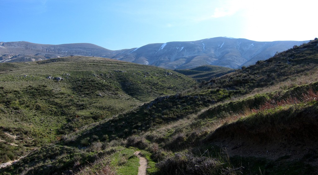
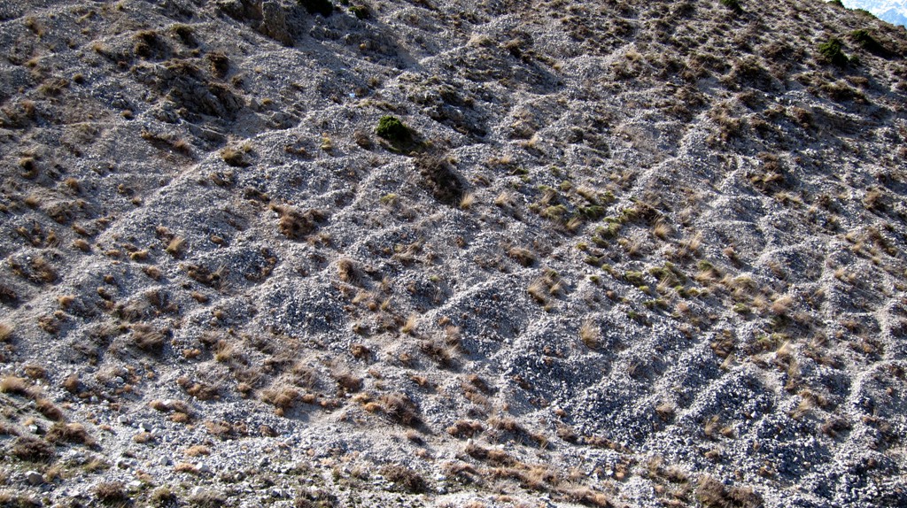
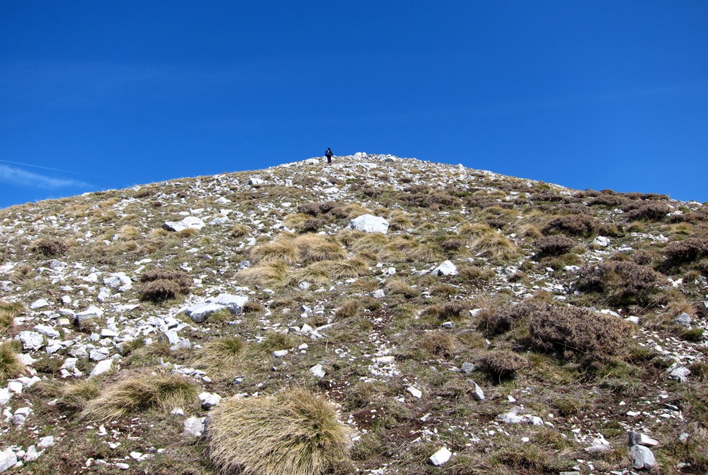
Mali i Gribes is not a particular peaky mountain, and its summits appear rather flat and perhaps not interesting for those seeking climbing adventure. But Mali i Gribes is surrounded by deep valleys, making access less than straightforward. Because of its gigantic size, routes can be very long.
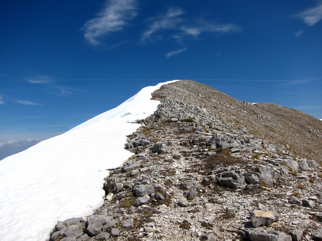
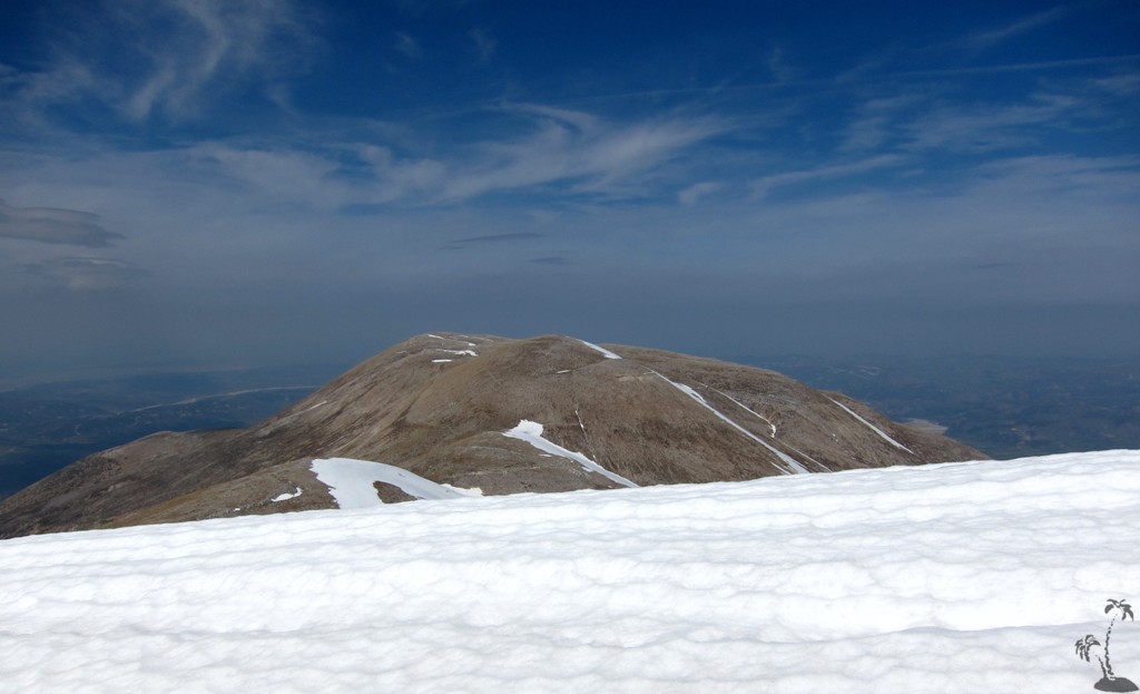
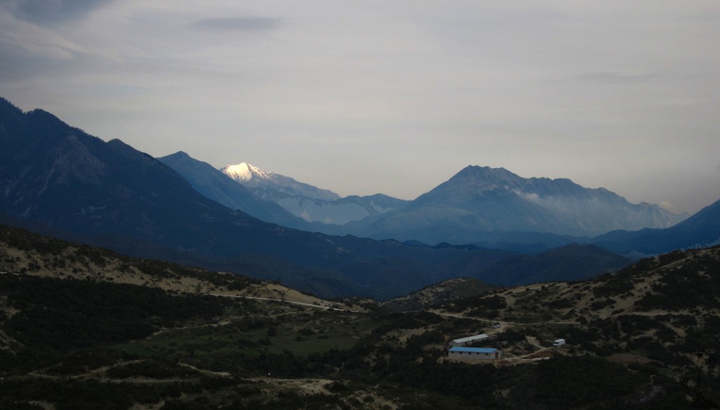
From certain vantage points (such as Mali i Shendellise, Qorres or Cikes) it can be seen that Mali i Gribes has two distinct summits. The higher summit is Kendervices (2120 meters), which is mostly hidden from view and which can be climbed from the Progonat-Nivice area. The second highest summit is Maja e Tartarit (1967 meters), which we refer as the summit of Mali i Gribes. This summit is more visible than Kendervices, especially when approaching the mountain from Vlora. The western side is more steep. We chose it for our ascent, as the horizontal distances tend to be shorter the steeper the mountain.
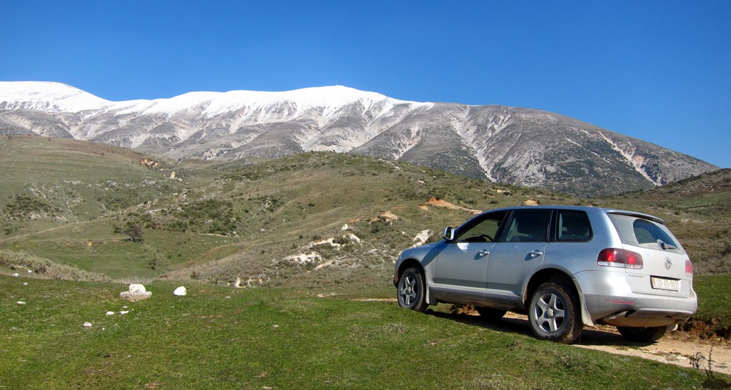
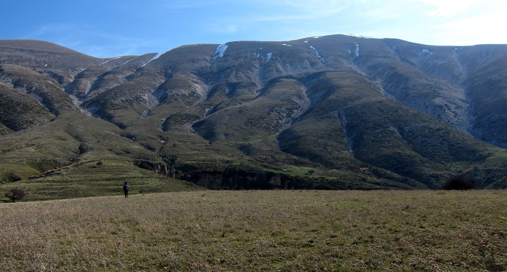
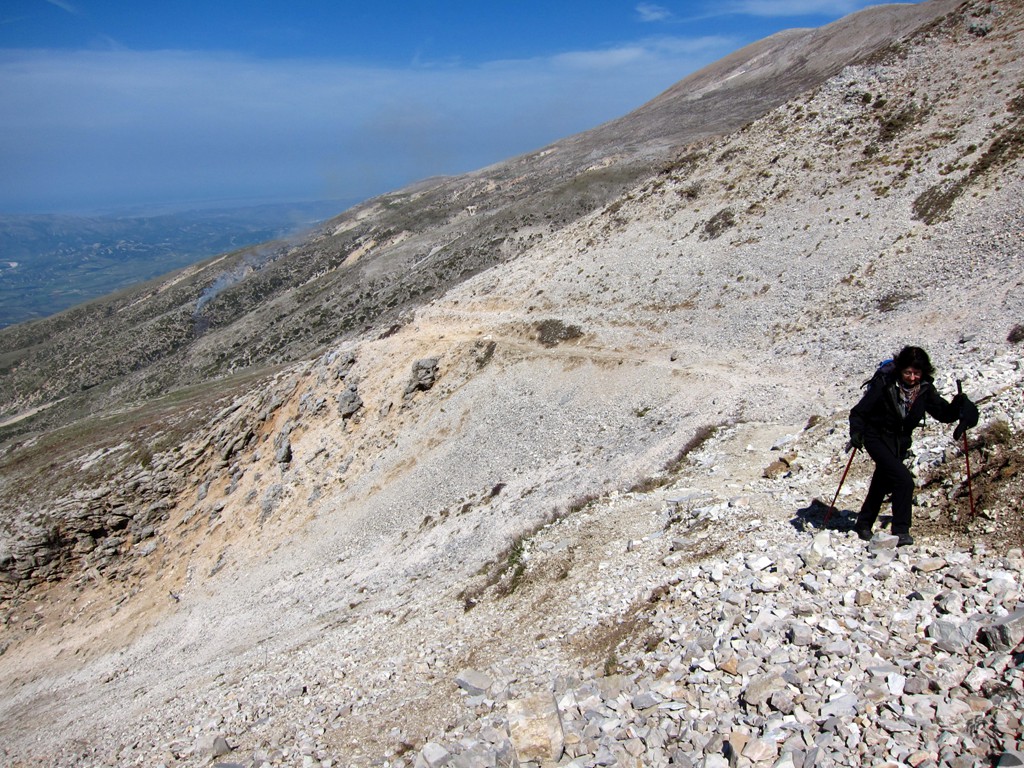
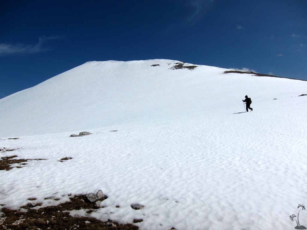
The Hike: We started the hike near some stans a few kilometers from the village of Ramice. We had explored the trailhead the week earlier and found snow conditions to be excellent. When we returned for the actual hike, much of the snow was gone on its western side, but enough was left near the summit to add some spice.
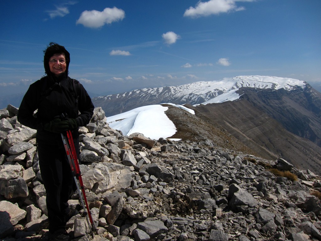
The hike, while not particularly difficult, requires some orientation skills. The mountain is very close to the Ionian Sea, and the wind chill can be considerable. The weather forecast had given us wind speeds up to 18 meter/sec (65 km/h), and while we didn't notice much of it while climbing, it became quite an experience near and on the summit.
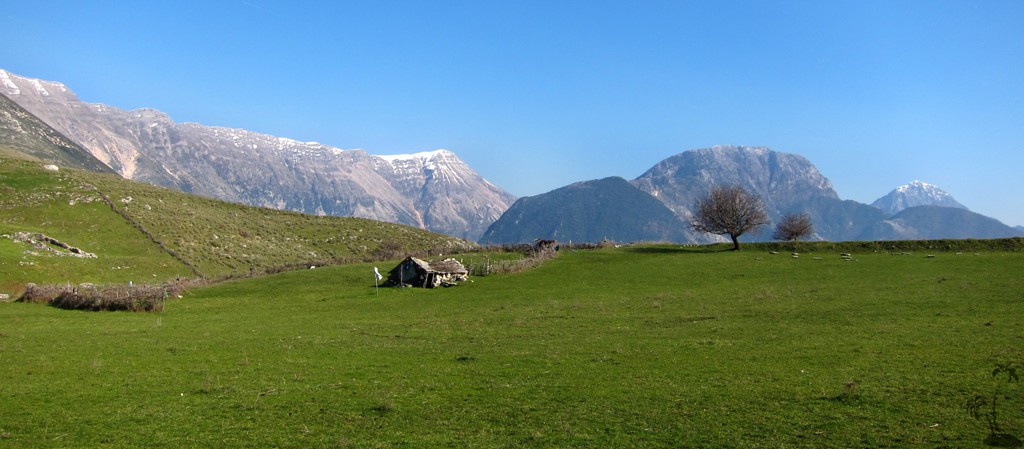
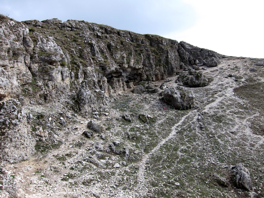
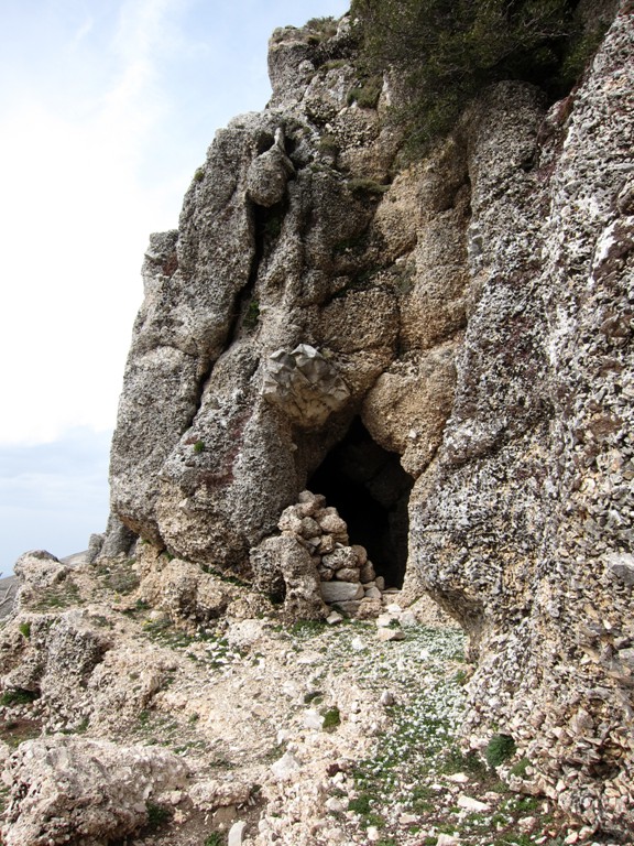
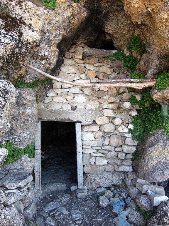
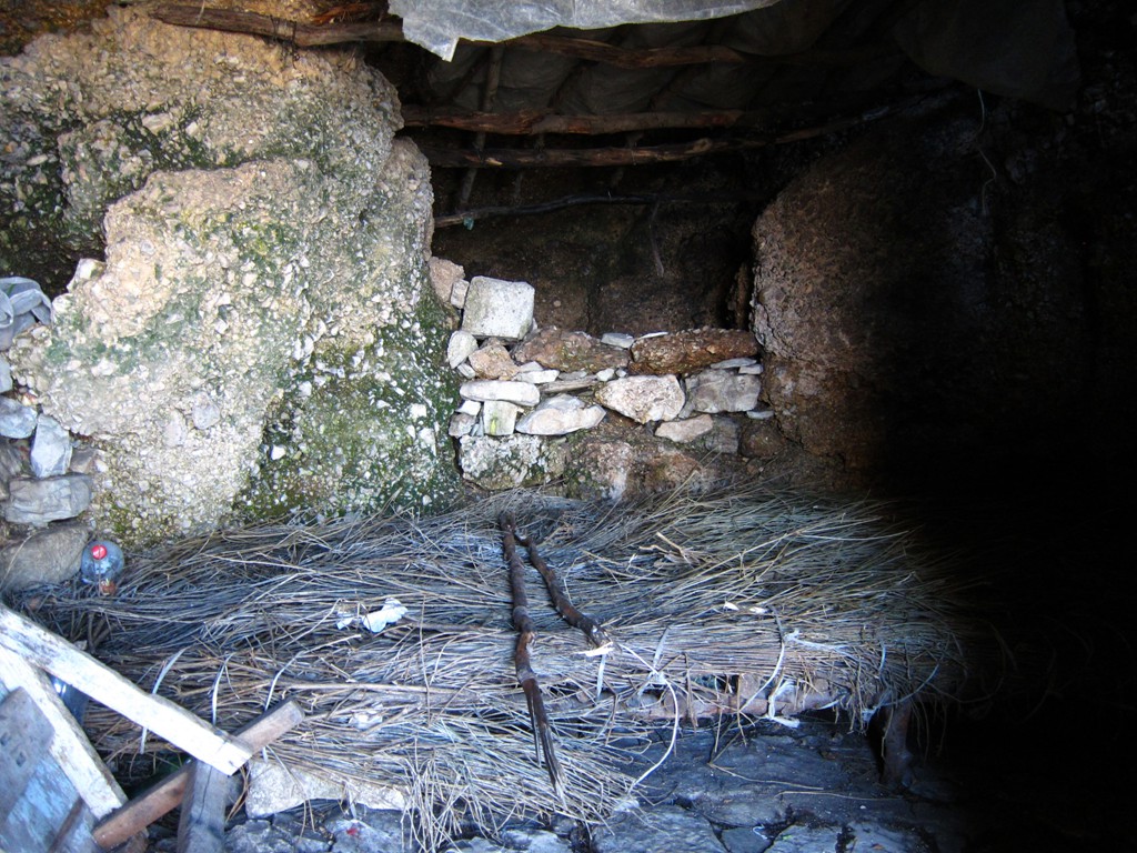
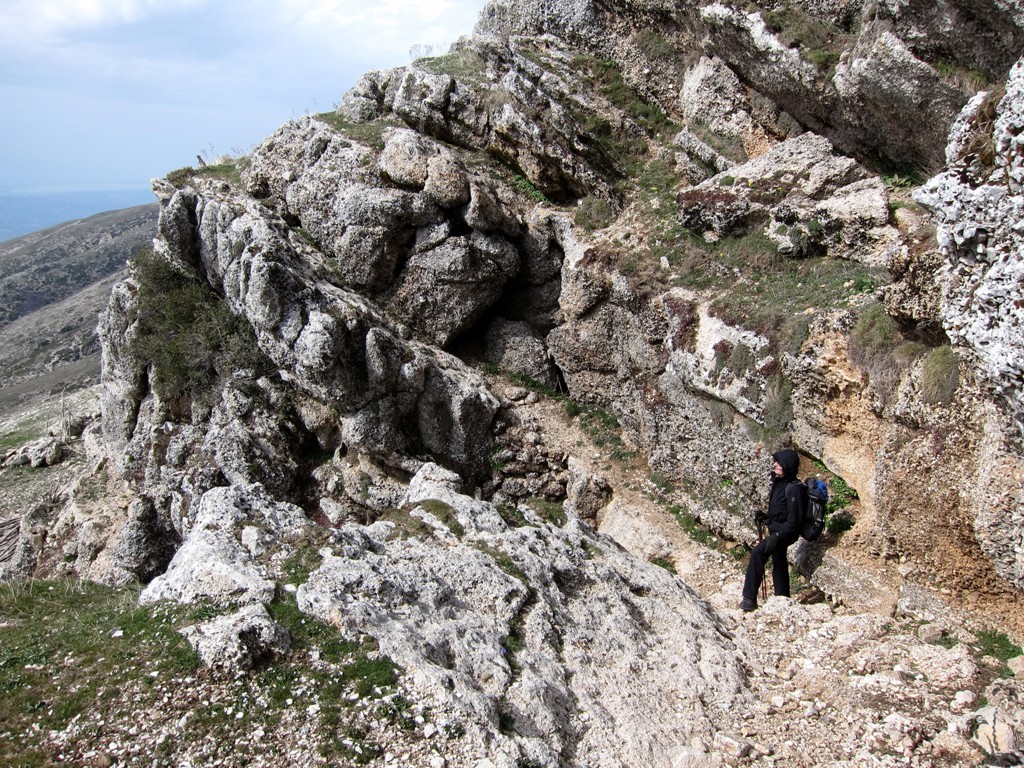
An added bonus of the hike is the Mystic Stan (which is our name for it). In summer, shepherds have a base in some caves on the mountainside. A hidden path leads through what appeared from the distance as a wall of rock. If you follow this route in summer, it might be a good idea to take some snacks and drink to share, as you will be literally walking through the shepherds' kitchen door.
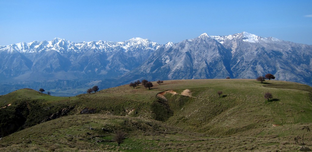
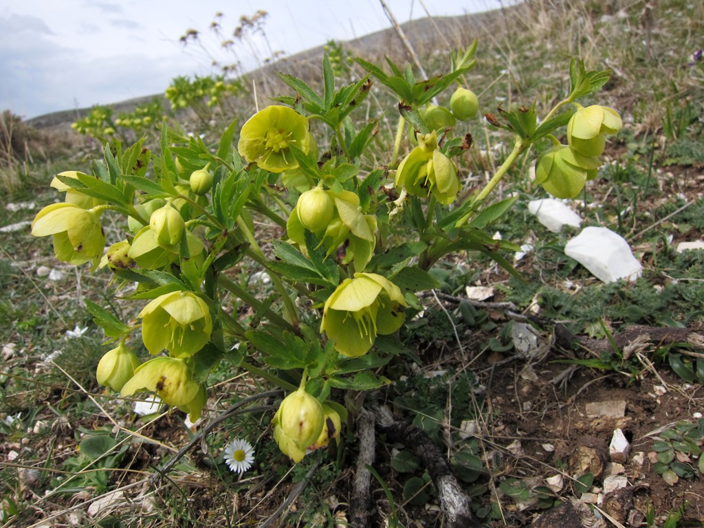
While the trail appears to be running through a somewhat bleak mountainscape, we found it a most enjoyable undertaking with surprises at many turns. Of course there are the glorious views to the coastal mountain range with Qorres and Cikes, and views 1600 Meter deep into the valley below.
The Climb: The trail is recorded as a figure eight. Unless you want to return the way you came, we recommend to follow the trail as recorded.
| Maximum altitude: | 1967 meter | ||||||||||||||||||||||
| Minimum altitude: | 874 meter | ||||||||||||||||||||||
| Cumulative height: | 1094 meter | ||||||||||||||||||||||
| Cumulative length: | 11.09 kilometer roundtrip | ||||||||||||||||||||||
Difficulty
| moderate |
Time:
|
7 hours |
Date of this record |
March 2014 |
Download GPS info: |
Mali i Gribes |
|
| |
|
|
|
|
|
|
|
|
|
|
|
|
|
|
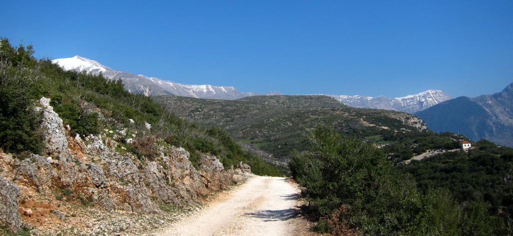
Drive to the Trailhead of Mali i Gribes: It pays to get as close to Mali i Gribes as possible by car. First aim for the village of Ramice (branching off from the Vlore-Kuc road). A few hundred meters before reaching Ramice, with the village already in view, turn left on a farmroad leading to some stans and our trailhead. A high clearance vehicle is needed.
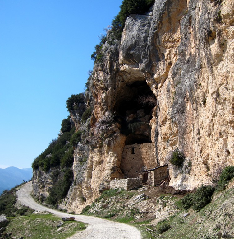
When driving to Ramice, at waypoint 11-Caves, turn around to admire some interesting stables built into the caves along the road.
| Maximum altitude: | 880 meter | ||||||||||||||||||||||
| Minimum altitude: | 102 meter | ||||||||||||||||||||||
| Cumulative height: | 844 meter | ||||||||||||||||||||||
| Cumulative length: | 18 kilometer | ||||||||||||||||||||||
Difficulty
| moderate |
Time:
|
1 hours from turnoff |
Date of this record |
March 2014 |
Download GPS info: |
Gribes trailhead |
|
| |
|
|
|
|
|
|
|
|
|
|
|
|
|
|
General location and approach: We spend the night in Vlore. From Vlore, it takes about 1.5 hours to the trailhead.
Other Information: Spring must be the best time for hiking Mali i Gribes, when the sheep and their dogs are still in the foothills.
Google Earth: You may also view the trail in 3D by clicking "view in Google Earth" when on Wikiloc. You need to have Google Earth installed on your computer.