PALM TREE PRODUCTIONS
back to Albania site back to hikes and climbs back to Locations and Travel
Mal Milot![]()
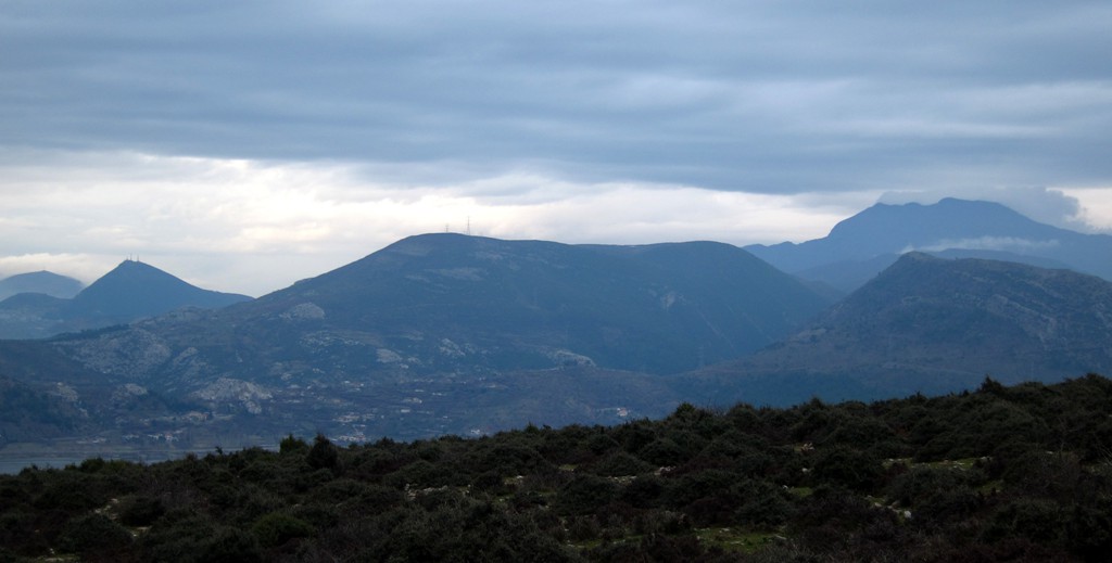
Summary: There is some confusion as to the name of Mal Milot. Following some clues from different maps, we call Mal Milot the north end of the mountain range that has its highest point with Dajti Mountain near Tirana, and continues northwards with Brar Mountain, Gamnit Mountain, Kruja Mountain, Rakshanit and on past the town of Lac, before it drops to almost sea level near Milot, where the Mat river enters the floodplains and flows into the Adriatic Sea.
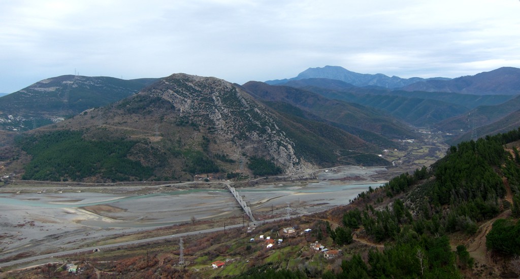
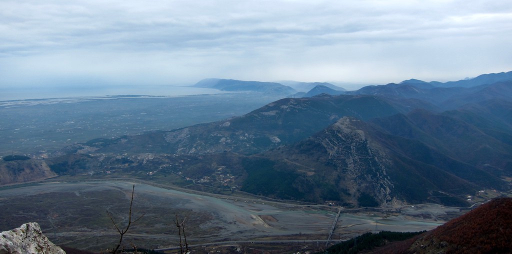
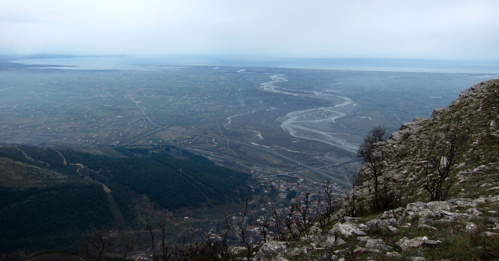
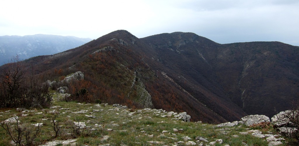
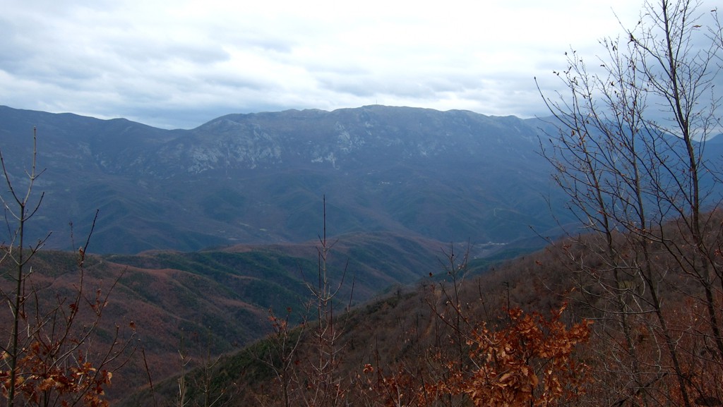
Mal Milot has a rocky knob, called Maja e Suksit or Mali i Sukes or different forms of the same. It looks like a summit from Milot, though it is not the highest point but the abrupt end of the horseshoe mountain with Milot town in its midst. With 669 Meter, Maje e Suksit is not memorably high, and there are higher points along the ridge around Milot. But Maja e Suksit offers great views onto the Mat Delta, the Patok Lagoon and of course the Adriatic. Cape Rodonit can be seen, Shengjin and even Velipoja. And of course, Mali i Veles is not far.
The loop hike is a good choice for a winter day, though take note that there your hike starts almost at sea level, with a cumulative elevation gain of 789 meter. Not that the hike is only a typical bad-weather undertaking - to the contrary, we believe that the views must be even more captivating under the mediterranean sun, but it certainly can be done when the weather is not so favorable.
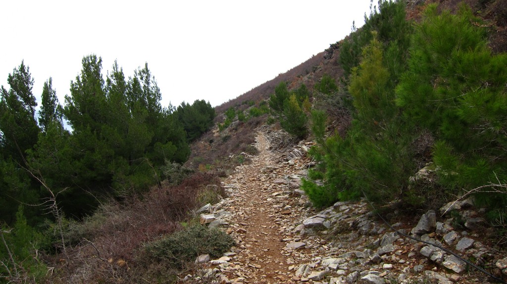
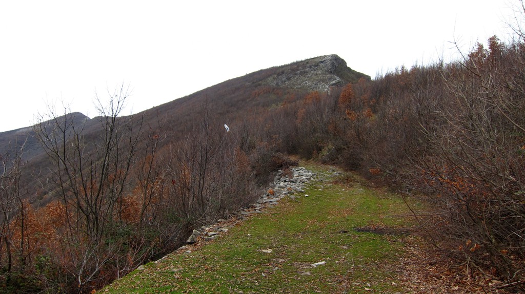
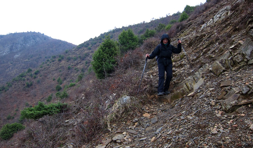
The trail is mostly on good and well visible paths. In 2012, some new pylons were built in the area for the high voltage transmission line, altering or obscuring some of the traditional tracks. You may want to check the following notes.
At waypoint 01, you may take a track slight to the right of our track. It leads past one of the new pylons more directly to waypoint 02.
At waypoint 04, take the right fork even though the main path seems to head straight on.
At waypoint 07, you reach the main ridge. An old military road coming from the south ends here. You can follow the road for a while (as we did), or try to go to Maja e Suksit in a straight line.
At waypoint 11, we left the road to head for the highest point of the mountain, which a shepherd called Lularet, and is marked as Kodra Xhipkut (785 Meter) on one map. We thought it a worthwhile extension, though if pressed for time you simply follow the road and join our trail at waypoint 14 .
Waypoint 12 is the summit of the mountain. We continued in southern direction for a short while, which offered views in the direction of Skenderbeut mountain. You may also decide to return for about 100 meter and then head down to waypoint 14.
At waypoint 16, the terrain is messed up by the construction of a transmission line pylon. You should be able to find a shortcut on a well established path directly to waypoint 18.
| Maximum altitude: | 785 meter | ||||||||||||||||||||||
| Minimum altitude: | 62 meter | ||||||||||||||||||||||
| Cumulative height: | 789 meter | ||||||||||||||||||||||
| Cumulative length: | 12.32 kilometer | ||||||||||||||||||||||
Difficulty
| moderate |
Time:
|
5 3/4 hours |
Date of this record |
January 2014 |
Download GPS info: |
Mal Milot |
|
| |
|
|
|
|
|
|
|
|
|
|
|
|
|
|
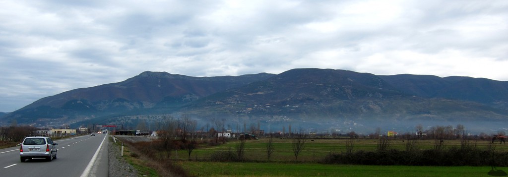
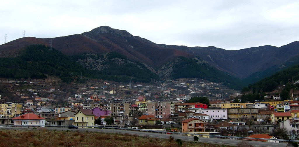
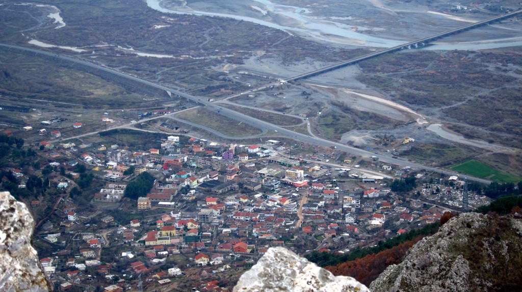
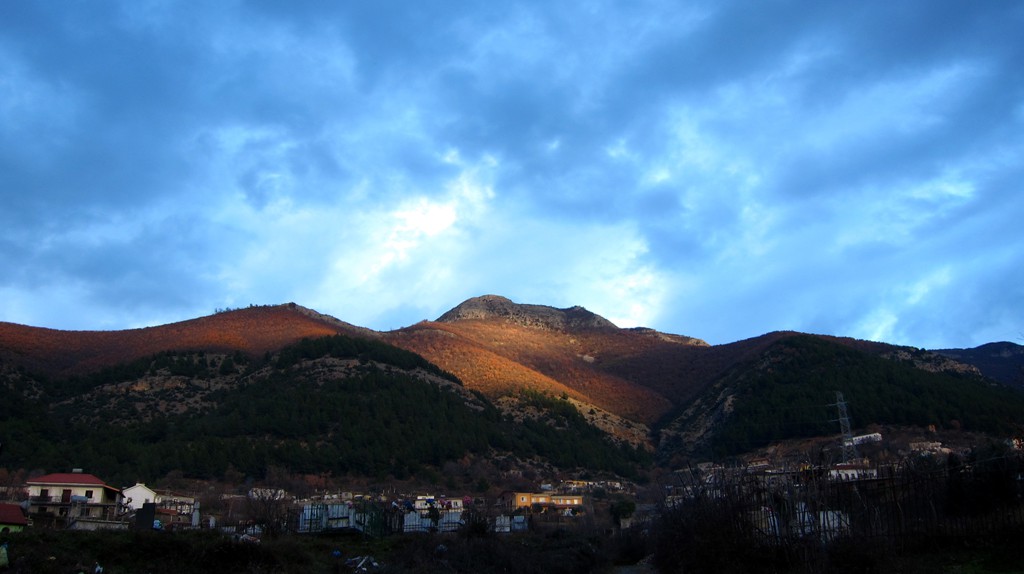
General location and approach: Milot, where the Autobahn from Kukes joins the highway connecting Tirana and Shkodra.
Other Information: Milot hosts a major regional market on Sunday mornings.
Google Earth: You may also view the trail in 3D by clicking "view in Google Earth" when on Wikiloc. You need to have Google Earth installed on your computer.